Top-ranked campgrounds
Top 40 · drive & weather from Kelowna, BCRanked by a fixed quality score: rewards a lake or MTB trails, off-road access (FSR / 4x4), real campground facilities, and a documented, sweet-spot-sized site. Closed and day-use sites are excluded. Tap a score badge for the per-site reasons.
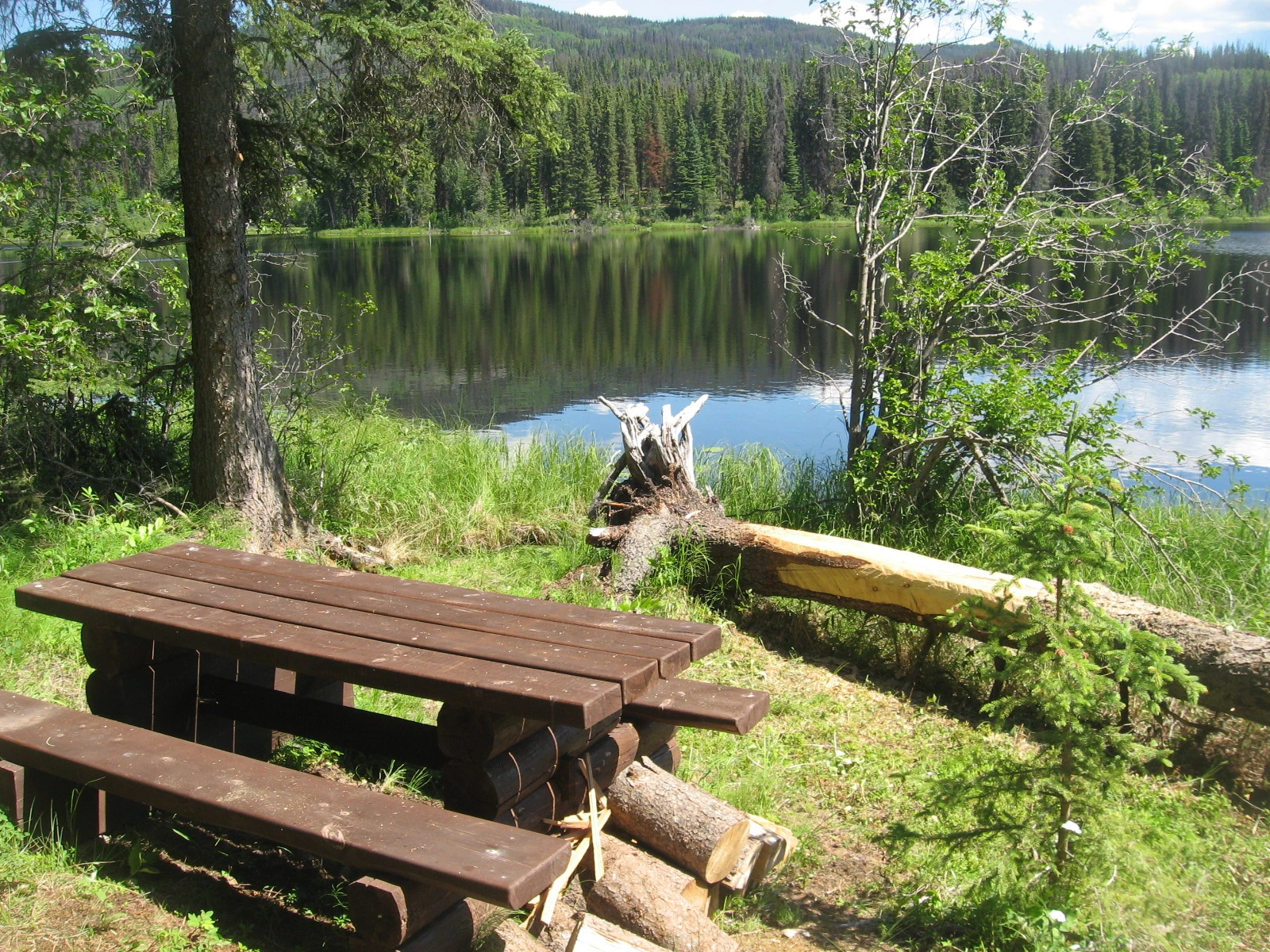
Kager Lake
Burns Lake · Rec Site · 26 sites76GreatGravelhas photoscuratedgood sizelakeMTB trailsdrive (one-way)912 kmdrive time12h 15mround-trip$361.08218.8 LThFrSa22°/8° · looking greatSwimmingLakeFishingBoat launchHiking+34 km· SNE C'AL YEGH GAS4 km· Burns Lake0 km· Kager Lake TrailheadNearby attractions (3)- Omineca Ski Club6.5 km
- BEAR DENS Trail7.0 km
- EAGLE CREEK/Opal Beds Trail7.2 km
Nearby MTB (1)- Burns Lake~4 km
First-come, first-servedSource ↗This site offer 14 vehicle accessible campsites, six walk-in sites, a non-motorized boat launch, large T-shaped dock, and an overflow camping area. A 3 km easy (green) trail circles Kager Lake. There is an extensive, world renowned, mountain bike trail network (100+km of trails) available directly from the campsites. The lake has a self sustaining trout population with a decent catch rate. This is a great spot to take beginners and children to learn how to fish. Please be sure to purchase a fishing licence and consult the BC Freshwater Fishing Regulations Synopsis for limits, special regula…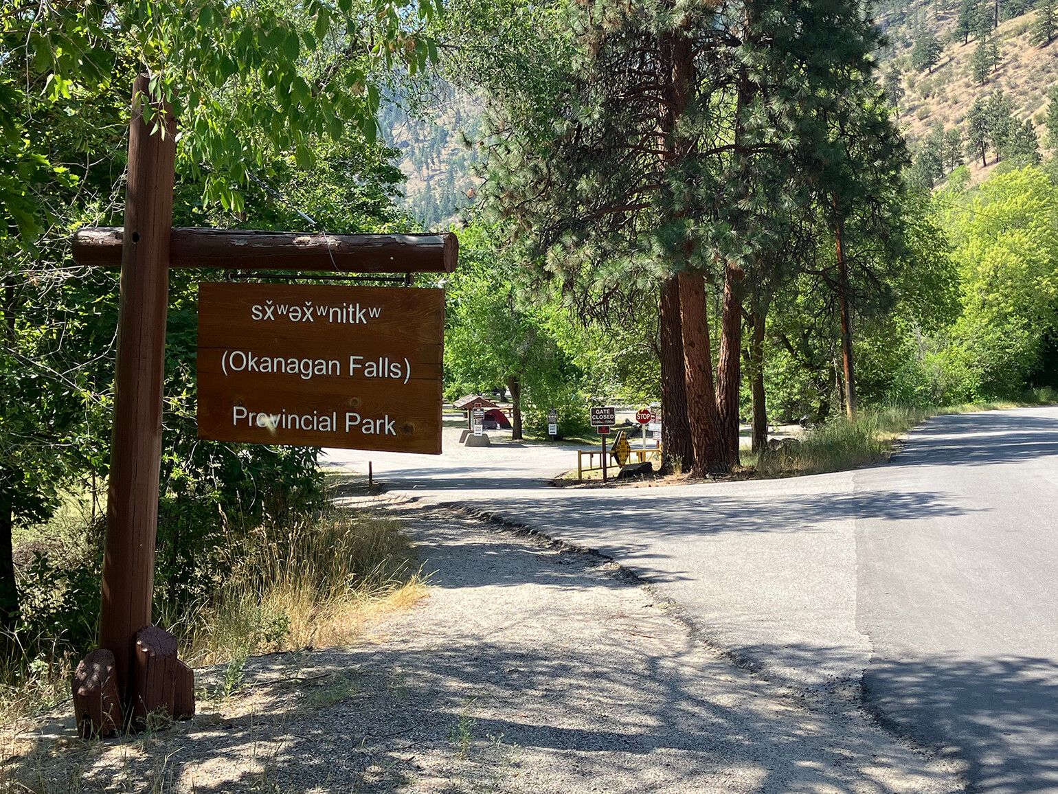
sx̌ʷəx̌ʷnitkʷ Provincial Park (Okanagan Falls)
— · BC Park · 31 sites75GreatPavedhas photoscuratedgood sizewaterlakedrive (one-way)81 kmdrive time1h 19mround-trip$32.2419.5 LThFrSa36°/14° · looking greatHikingFishingBikingPit toiletPotable water+41 km· Centex1 km· Okanagan Falls5 km· White LakeNearby MTB (1)- Penticton~18 km
Reservation requiredSource ↗sx̌ʷəx̌ʷnitkʷ Park is proudly managed and operated by the Osoyoos Indian Band. It is located within the traditional territory of the Osoyoos Indian Band. Since time immemorial, the Osoyoos Indian Band’s ancestors have inhabited and cared for the lands and waters in their traditional territory. Below is a link to an audio file. The nqilxʷcən/nsyilxcən place name for sx̌ʷəx̌ʷnitkʷ Park was recorded by Osoyoos Indian Band Elder Jane Stelkia and Westbank First Nation Elder and language teacher Delphine Armstrong. Jane’s nqilxʷcən skʷist (traditional name) is qʷʕayxnmitkʷ xʷəstalk̓iyaʔ. Delphine’s nqilxʷcən skʷist (traditional name) is ɬək̓əmxnalqs. How to pronounce sx̌ʷəx̌ʷnitkʷ [MP3] In 2015, the park was renamed to reflect the traditional Okanagan place name for the area. The nqilxʷcən/ns…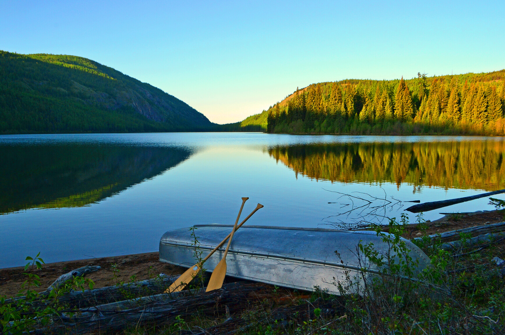
Conkle Lake Provincial Park
— · BC Park · 34 sites75GreatPavedhas photoscuratedgood sizewaterlakedrive (one-way)138 kmdrive time2h 35mround-trip$54.7733.2 LThFrSa35°/13° · looking greatHikingBoat launchSwimmingFishingBiking+415 km· Centex10 km· Mount BaldyMixed (some reservable)Source ↗This secluded park is found in the Okanagan Highland east of Osoyoos. Set amid a forest of mainly western larch and lodgepole pine that cover the surrounding hills. Conkle Lake, named for W.H. Conkle, an early settler in the nearby Kettle Valley. The lake is noted for its rainbow trout. Visitors have come for many years to fish as well as swim and hike to various viewpoints.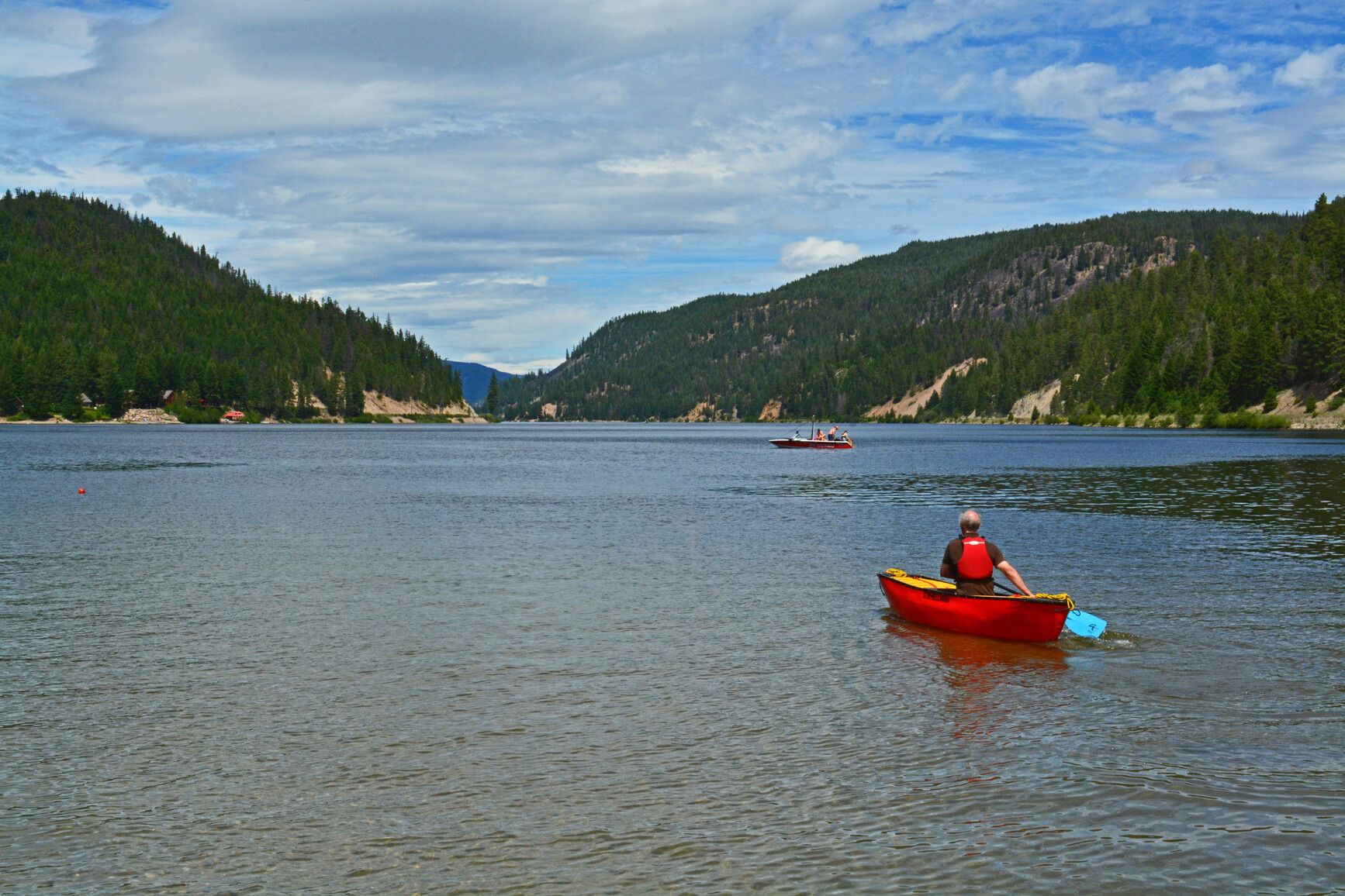
Otter Lake Provincial Park
— · BC Park · 45 sites75GreatPavedhas photoscuratedgood sizewaterlakedrive (one-way)151 kmdrive time2h 25mround-trip$59.9236.3 LThFrSa28°/6° · looking greatSwimmingBoat launchHikingBikingFishing+45 km· Trading Post5 km· Tulameen1 km· Otter LakeNearby attractions (1)- 10 K Snowmobile Parking Lot14.4 km
Mixed (some reservable)Source ↗If you’re looking for privacy in a natural setting, Otter Lake is ideal for old-fashioned camping. The park has two locations, a main picnic and day-use area in Tulameen and a lovely lakeside campground about 5 km further north along the road. The Cascade Mountain Range surrounds the park and includes awesome canyons and clear flowing streams. Large numbers of otter, beaver and red squirrel inhabit the area, as well as mountain goats, cougars and grizzly bears. Fishermen will find time spent on Otter Lake rewarding, with large lake trout being the catch of the day. The scenic lakeside campground is an ideal base for those who want to explore the mining history of the Tulameen area.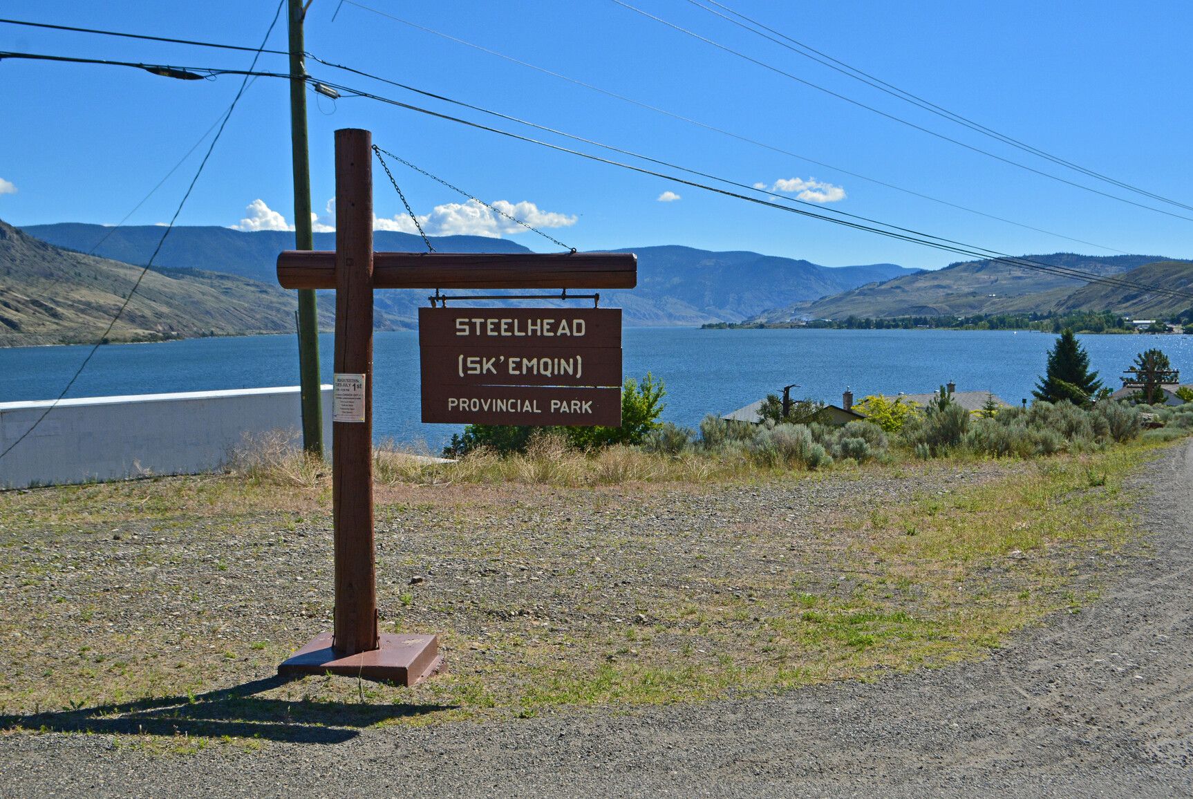
Steelhead Provincial Park
— · BC Park · 50 sites75GreatPavedhas photoscuratedgood sizewaterlakedrive (one-way)236 kmdrive time2h 49mround-trip$93.4756.6 LThFrSa33°/10° · looking greatHikingBoat launchSwimmingFishingBiking+44 km· Super Save2 km· Savona5 km· Fehr LakeMixed (some reservable)Source ↗Steelhead Park is a convenient overnight camping and picnicking spot for travelers on Highway 1. This is also a popular destination camp for visitors enjoying boating and fishing on Kamloops Lake, at the head of the Thompson River. The park offers 240 metres of beach on the lake and 1,000 metres of frontage along the river. The Savona community offers the amenities of a small town.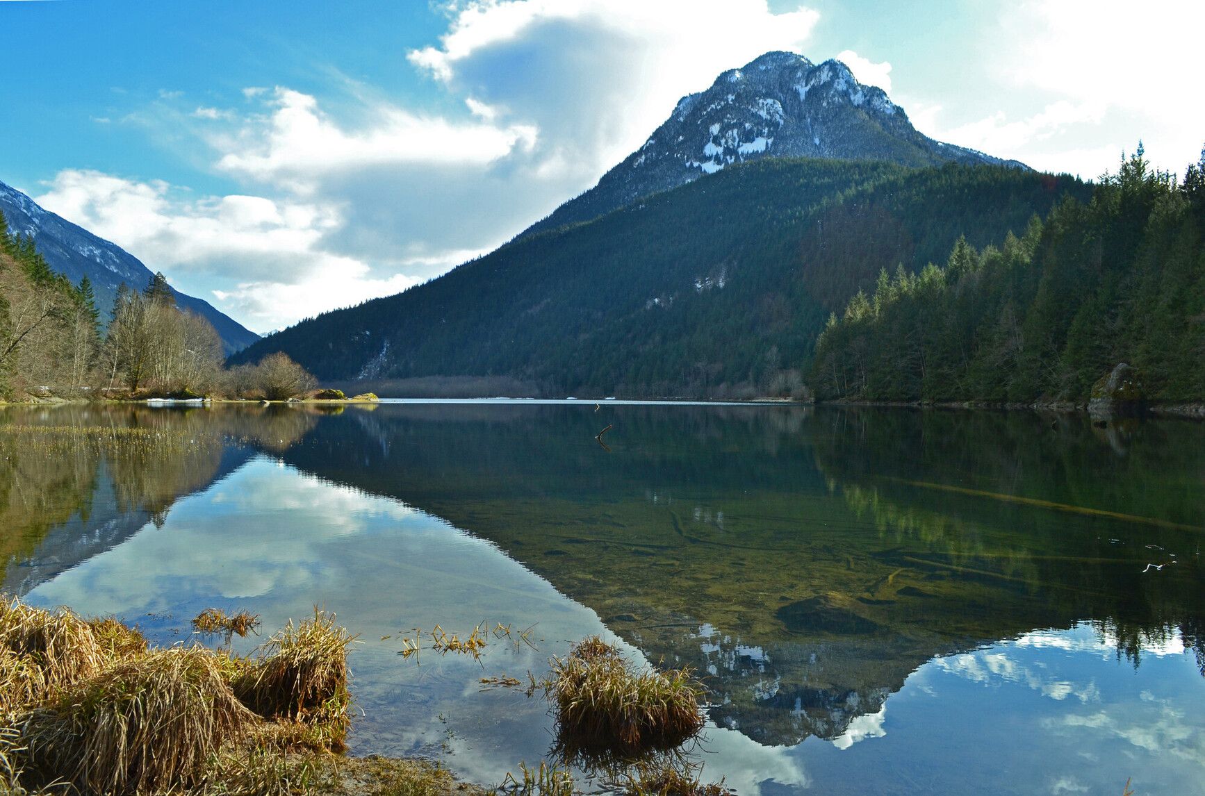
Silver Lake Provincial Park
— · BC Park · 25 sites75GreatPavedhas photoscuratedgood sizewaterlakedrive (one-way)252 kmdrive time3h 10mround-trip$99.6260.4 LThFrSa22°/8° · looking greatHikingFishingSwimmingBikingPit toilet+46 km· Esso8 km· Hope9 km· Eaton Lake28 km· Harrison Hot SpringsNearby attractions (1)- Peers Creek/HBC Trail10.7 km
Mixed (some reservable)Source ↗Situated in the scenic Skagit Valley, Silver Lake Park is a small, undeveloped lakefront area. Visitors can enjoy fishing, picnicking and boating (10 horse power motor limit) against a spectacular mountain backdrop or take pleasure in a rustic camping experience.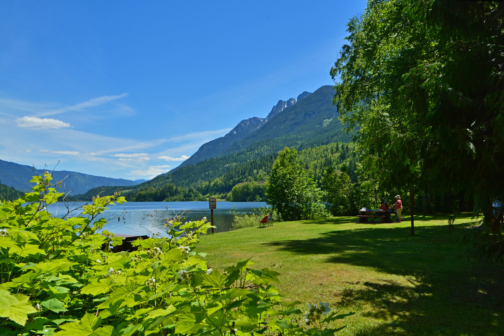
Summit Lake Provincial Park
— · BC Park · 35 sites75GreatPavedhas photoscuratedgood sizewaterlakedrive (one-way)256 kmdrive time4h 9mround-trip$101.3561.4 LThFrSa34°/13° · looking greatHikingBoat launchFishingSwimmingBiking+413 km· Carson's Corner1 km· Summit Lake7 km· Box Lake40 km· Halfway Hot SpringsNearby attractions (3)- Valhalla Hills Nordic8.2 km
- Shannon Lake11.2 km
- Kimbol Lake13.5 km
Nearby MTB (1)- Arrow Slocan~29 km
Mixed (some reservable)Source ↗Summit Lake Park is a beautiful 6 hectare park located with in the Nakusp range of the Selkirk Mountains. Park visitors enjoy canoeing, fishing for rainbow and cutthroat trout or swimming in the lake’s clear, refreshing water. The mountainous backdrop of the park is a stage to the wonders of nature. A natural spectacle occurs as thousands of toads emerge from the lake and migrate to the nearby forest to hibernate for the winter. Mountain goats can often be viewed on rocky outcroppings and in late summer, while birds in flight paint the skyline.
Big Bar Lake Provincial Park
— · BC Park · 46 sites75GreatPavedhas photoscuratedgood sizewaterlakedrive (one-way)328 kmdrive time5h 14mround-trip$129.8678.7 LThFrSa27°/12° · looking greatHikingBoat launchFishingSwimmingBiking+429 km· 70 Mile General Store29 km· Clinton24 km· Canoe Creek Warm SpringNearby attractions (1)- Jesmond Fire Lookout7.2 km
Mixed (some reservable)Source ↗The park’s landscapes vary from dramatic mountains and alpine lakes in the south, to gentler volcanic hills and lava formations, to the flat, forested Chilcotin Plateau in the north. The spectacular scenery in the south makes it a popular destination for horseback riding, backpacking, hunting, wildlife viewing, and mountaineering. Because of the park’s remoteness, visitors must be experienced in backcountry travel and completely self-sufficient. This park teems with wildlife. You might see mountain goats, California bighorn sheep, moose or predators such as wolves, black and grizzly bears. Please do not stress them by approaching closely.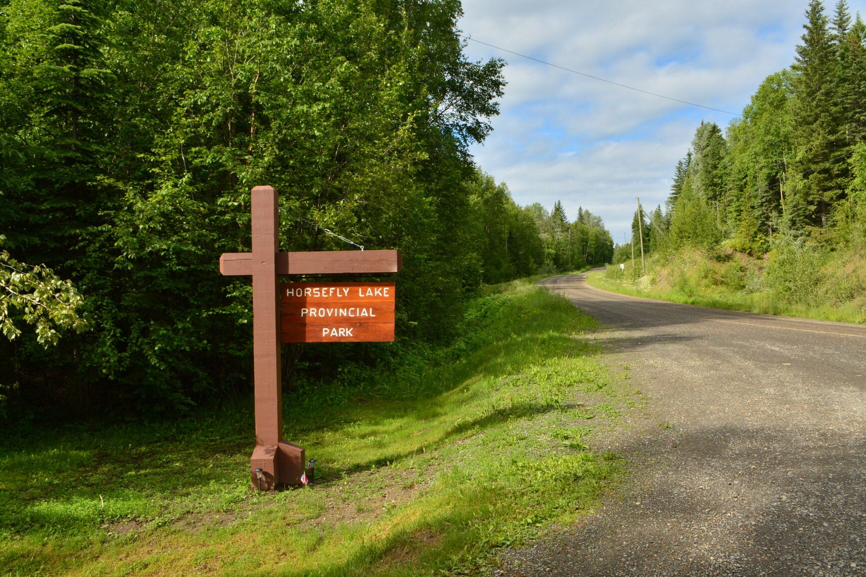
Horsefly Lake Provincial Park
— · BC Park · 30 sites75GreatPavedhas photoscuratedgood sizewaterlakedrive (one-way)494 kmdrive time7h 31mround-trip$195.70118.6 LThFrSa26°/13° · looking greatHikingBoat launchSwimmingFishingBiking+411 km· Race Trac11 km· Horsefly3 km· Kwun LakeMixed (some reservable)Source ↗This park offers a popular 23 site campground and day-use area which has a developed beach, a horseshoe pit and a nature trail. Some activities offered include hiking, exploring and fishing. The large, deep lake is usually fished on a troll. Fishing for rainbow trout is a favourite pastime of many visitors. There are a number of smaller lakes excellent for fly-fishing. Two unnamed lakes are in the park, and were once the site of a hatchery operated to restore the run of sockeye to the Horsefly River. Fir, spruce, birch and cedar clothe the slopes along the lower reaches of Dillabough Creek at the west end of Horsefly Lake. There are old growth cedars and Douglas firs throughout the park.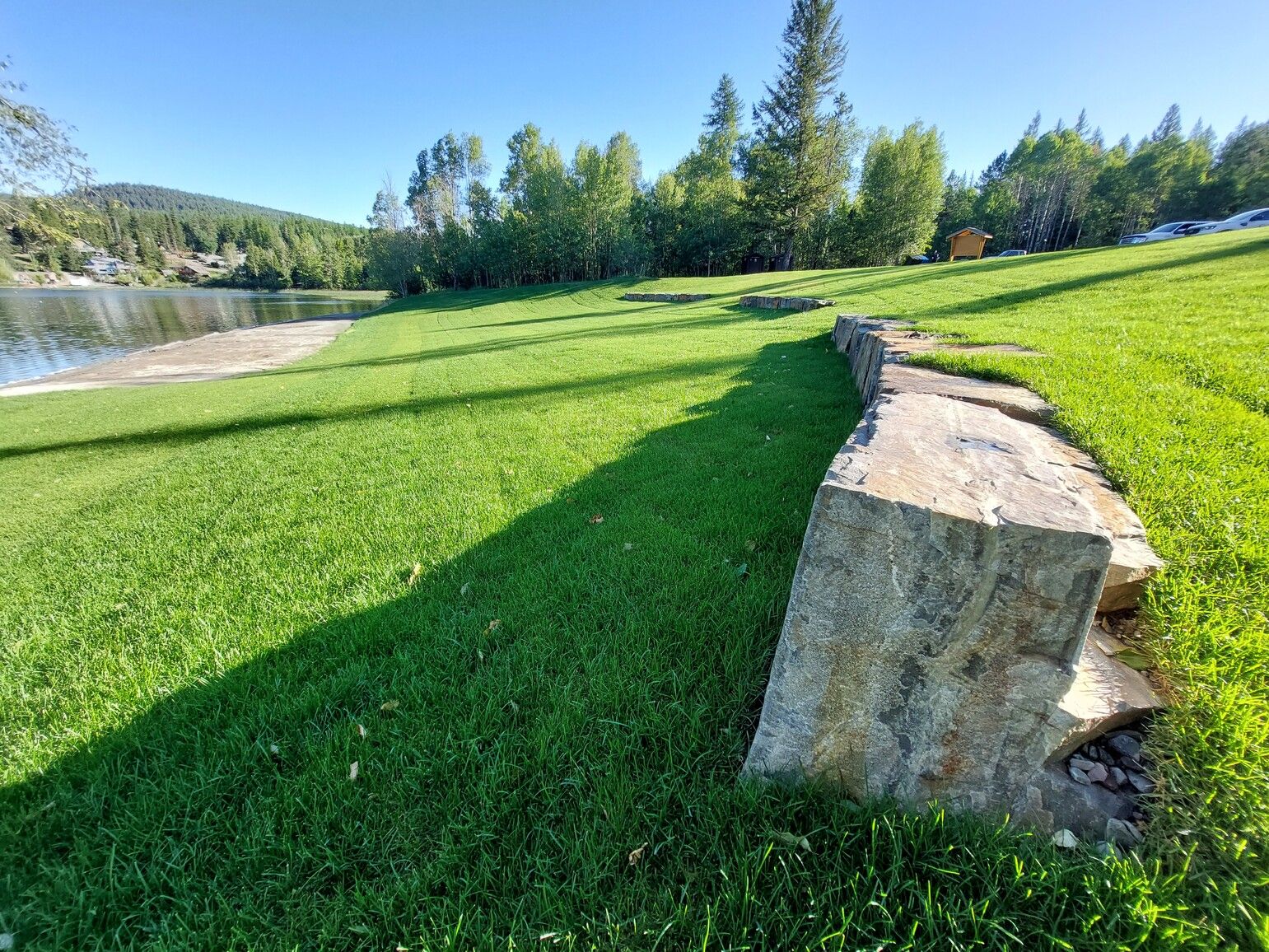
Jimsmith Lake Provincial Park
— · BC Park · 35 sites75GreatPavedhas photoscuratedgood sizewaterlakedrive (one-way)532 kmdrive time7h 23mround-trip$210.81127.8 LThFrSa35°/12° · looking greatHikingSwimmingFishingBoat launchBiking+45 km· Fas Gas6 km· Cranbrook1 km· Jim Smith Lake45 km· Wildhorse Warm SpringsNearby attractions (1)Nearby MTB (2)- Cranbrook~6 km
- Kimberley~23 km
Mixed (some reservable)Source ↗This 35 site campground situated among a lakeside Douglas fir and larch forest, is a peaceful and welcome retreat near the city of Cranbrook. The campground was rebuilt in 2001 to accommodate recreational vehicles. Sunbathing, swimming, non-motorized boating and picnicking are popular activities at Jimsmith Park. The day-use gates are open from 8am to 10pm. This is the perfect setting for nature study and wildlife viewing. In winter, the park is transformed into a snowy playground for tobogganing and ice skating.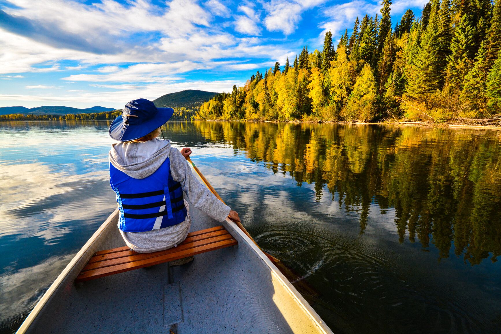
Bowron Lake Provincial Park
— · BC Park · 24 sites75GreatPavedhas photoscuratedgood sizewaterlakedrive (one-way)698 kmdrive time10h 49mround-trip$276.51167.6 LThFrSa26°/8° · looking greatHikingBoat launchFishingSwimmingBiking+438 km· Wells Service Station36 km· Barkerville5 km· Isaac LakeMixed (some reservable)Source ↗Bowron Lake Park is a large wilderness area on the western slopes of the Cariboo Mountain Range. The world-renowned Bowron Lake Canoe Circuit is a 116 km chain of waterways and connecting land. The full circuit takes between six and 10 days to complete. For a shorter trip, the West Side of the circuit can be paddled in two-to-four days. It is recommended that only people with some wilderness canoeing experience attempt the circuit. Bowron Lake Park also has a very pleasant 25-unit drive-in campground. The campground is located near the registration centre, a short distance from Bowron Lake itself. There are also a few short walking trails nearby. The park has a tremendous diversity of topography and vegetation. The rounded hilltops of the Quesnel Highlands on the West Side of the circui…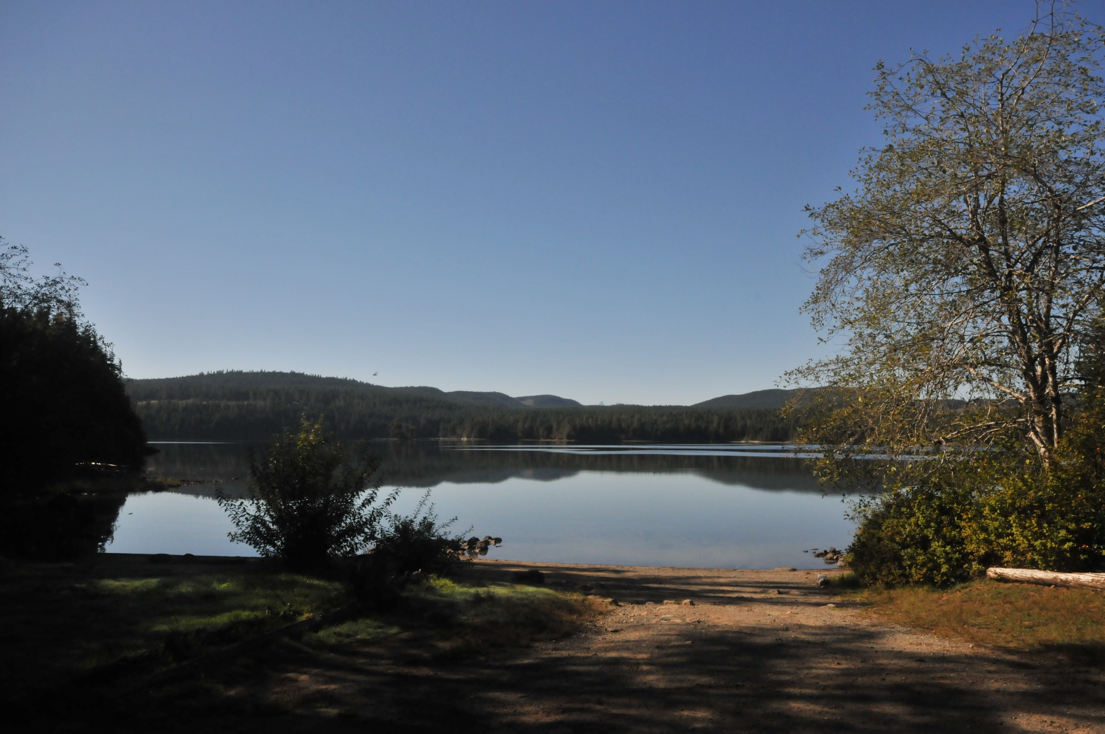
Morton Lake Provincial Park
— · BC Park · 24 sites75GreatPavedhas photoscuratedgood sizewaterlakedrive (one-way)755 kmdrive time11h 15mround-trip$299.14181.3 LThFrSa22°/11° · looking greatHikingBoat launchFishingSwimmingBiking+416 km· Gas n Go16 km· Duncan Bay2 km· Crane Lake5 km· Trout Creek Falls (Mohun Creek Trail)Nearby MTB (1)- Campbell River~18 km
Mixed (some reservable)Source ↗Visitors to Morton Lake Park are sure to discover that there is a reason the area northwest of Campbell River is called “lake country.” From April to June and September to October, lake fishing for rainbow, cutthroat and Dolly Varden trout on Mohun Lake in the park can be excellent. While this park is popular with anglers, there is still plenty to do if fishing isn’t your favourite pastime. During the summer, visitors can fill their days swimming, canoeing, boating or just lounging on the sandy beach at Morton Lake. Morton Lake Park, which includes all of Morton Lake and a section of shoreline on neighbouring Mohun Lake, provides access to the popular Sayward Canoe Route which is a 47 kilometre paddle and portage circuit. The park offers lake-front camping, as well as a boat launch, pit…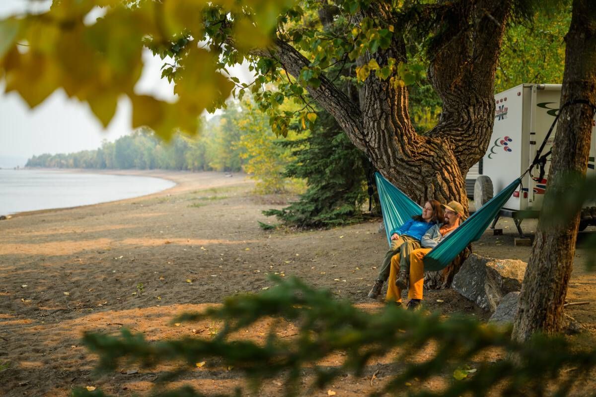
Paarens Beach Provincial Park
— · BC Park · 42 sites75GreatPavedhas photoscuratedgood sizewaterlakedrive (one-way)844 kmdrive time11h 26mround-trip$334.11202.5 LThFrSa23°/14° · looking greatHikingBoat launchSwimmingFishingBiking+45 km· Suspenders8 km· Fort St. James10 km· Tulle LakeMixed (some reservable)Source ↗Situated on the south-west shore of beautiful Stuart Lake, Paarens Beach is a delightfully small provincial park that few people outside of the area seem to know about. A large day-use area is located on a lengthy stretch of wide sandy beach. Change houses, abundant picnic tables, a playground for the kids and a log picnic shelter are all available to help you enjoy leisurely summer days. With an uncrowded campground, large beach and boat launch, it is an ideal base from which to enjoy the multitude of recreational opportunities around Stuart Lake and to explore the rich history the nearby community of Fort St. James. The Fort St James Visitor Info Centre can provide the visitor with maps, directions and information on things to do and see in and around the community. There are close to…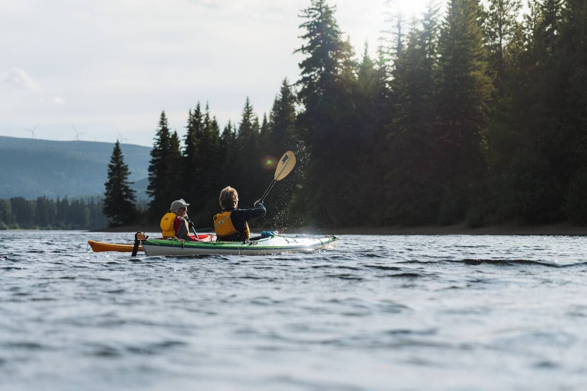
Gwillim Lake Provincial Park
— · BC Park · 50 sites75GreatPavedhas photoscuratedgood sizewaterlakedrive (one-way)1039 kmdrive time13h 38mround-trip$411.40249.3 LThFrSa23°/6° · looking greatHikingBoat launchFishingSwimmingBiking+437 km· Chevron23 km· Oetco Flats8 km· Gwillim LakeMixed (some reservable)Source ↗Winds whispering through the pine forests, waves lapping at the shoreline, Gwillim Lake Park provides a peaceful outdoor experience. Set in the picturesque Rocky Mountain Foothills on Highway 29, it is located a half-hour’s drive from Chetwynd and Tumbler Ridge and the massive Northeast Coal development. Visitors can enjoy canoeing, kayaking, swimming, hiking, fishing and a viewpoint that provides a panoramic vista of the superb Rocky Mountain scenery.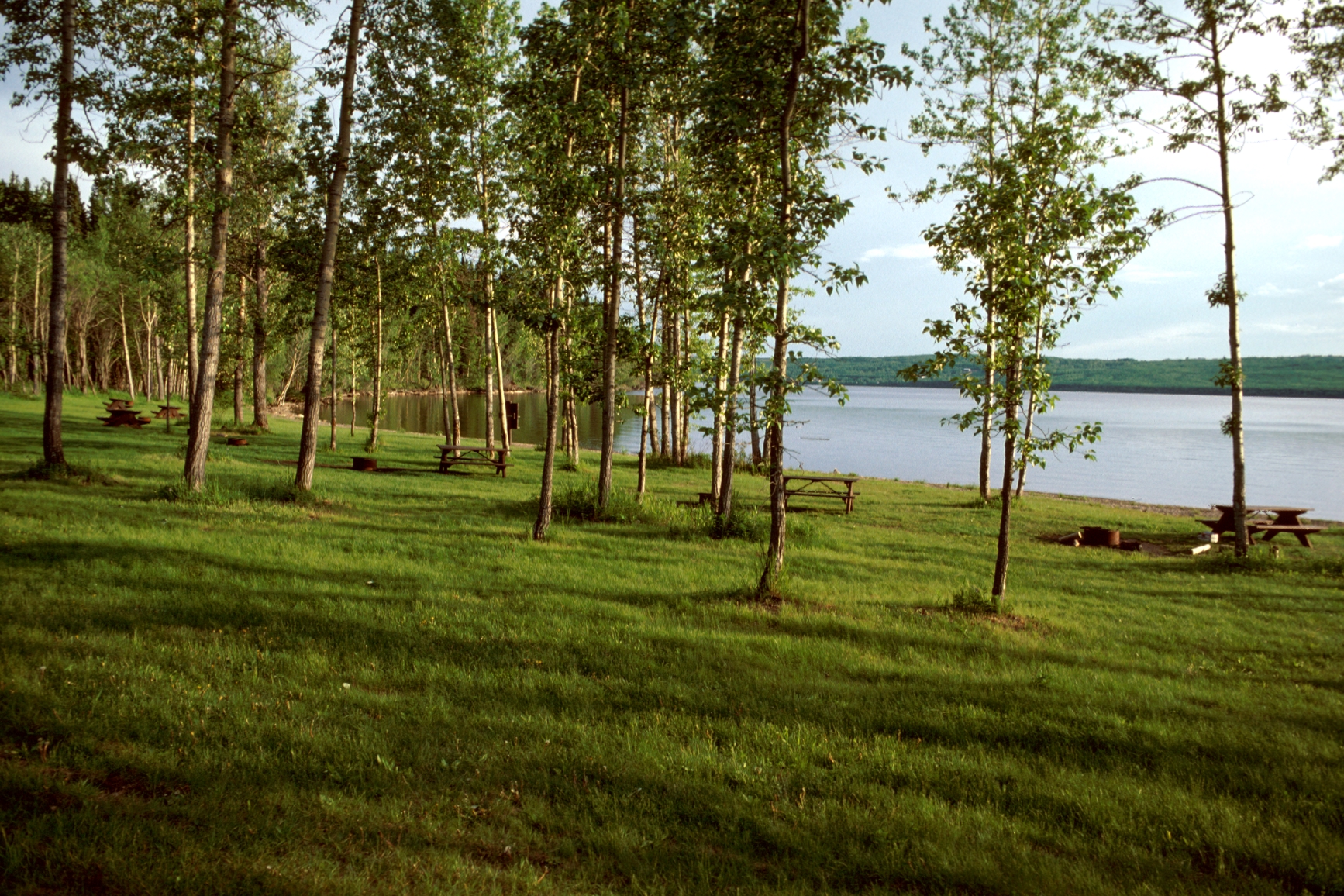
Beatton Provincial Park
— · BC Park · 39 sites75GreatPavedhas photoscuratedgood sizewaterlakedrive (one-way)1136 kmdrive time14h 58mround-trip$449.92272.7 LThFrSa28°/11° · looking greatHikingSwimmingFishingBoat launchBiking+45 km· Chevron6 km· Charlie Lake4 km· Charlie LakeMixed (some reservable)Source ↗Beatton River Park protects rich riparian habitat at the confluence of the Beatton and Peace Rivers. Visitors to the area can best access the park by boat. Enjoy a picnic, watch wildlife or relax on the river’s edge and appreciate the surrounding scenic views.Summit Lake Campground
— · BC Park · 35 sites75GreatPavedhas photoscuratedgood sizewaterlakedrive (one-way)1641 kmdrive time21h 22mround-trip$649.73393.8 LThFrSa17°/7° · 1 wet dayPotable waterPit toiletFirepitLakeHiking+440 km· G&B Fuels40 km· Toad River1 km· Summit LakeMixed (some reservable)Source ↗Summit Lake Park is a beautiful 6 hectare park located with in the Nakusp range of the Selkirk Mountains. Park visitors enjoy canoeing, fishing for rainbow and cutthroat trout or swimming in the lake’s clear, refreshing water. The mountainous backdrop of the park is a stage to the wonders of nature. A natural spectacle occurs as thousands of toads emerge from the lake and migrate to the nearby forest to hibernate for the winter. Mountain goats can often be viewed on rocky outcroppings and in late summer, while birds in flight paint the skyline.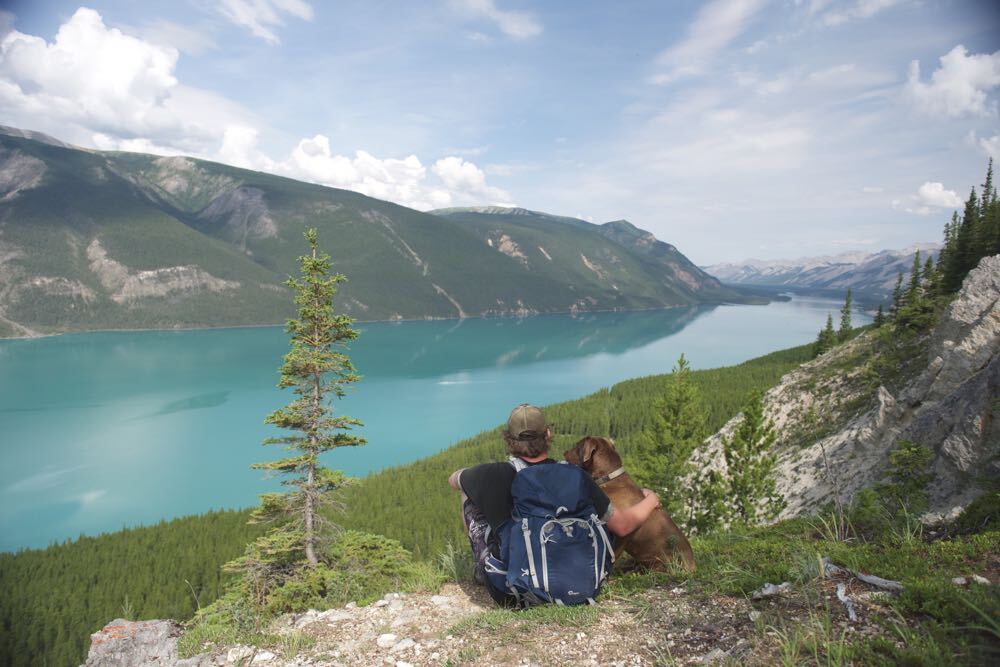
Muncho Lake Provincial Park
— · BC Park · 30 sites75GreatPavedhas photoscuratedgood sizewaterlakedrive (one-way)1742 kmdrive time22h 58mround-trip$689.92418.1 LThFrSa20°/6° · mixedHikingSwimmingBoat launchFishingBiking+49 km· Northern Rockies Lodge30 km· Toad RiverNearby MTB (1)- Northern Rockies Adventures~27 km
Mixed (some reservable)Source ↗Muncho Lake Park is a serene, secluded area with stunning natural landscapes, conveniently close to the Alaska Highway. Spectacular mountains, bountiful wildlife, and brilliant wildflowers can all be viewed here. In the southern part of the park, the unique limestone formations of Folded Mountain tower above the road. As you travel north on the highway, keep an eye out for moose and Stone sheep. Soon, you will reach Muncho Lake. The lake’s deep cold waters, coloured jade by minerals, stretch for 12 km. These waters are home to lake trout, arctic grayling, bull trout, and whitefish. Having reached Muncho Lake, you can spend the night at Strawberry Flats Campground. Alternatively, keep heading another 11 km north to reach MacDonald Campground.![Tā Ch'ilā Park [a.k.a. Boya Lake Park]](https://nrs.objectstore.gov.bc.ca/kuwyyf/Ta_Ch_ila_Park_a_k_a_Boya_Lake_Park_178_gal_RS_6156_6511cd8d4e.jpg)
Tā Ch'ilā Park [a.k.a. Boya Lake Park]
— · BC Park · 44 sites75GreatPavedhas photoscuratedgood sizewaterlakedrive (one-way)1803 kmdrive time24h 49mround-trip$713.84432.6 LThFrSa23°/9° · 1 wet dayHikingBoat launchFishingSwimmingBiking+415 km· Dease River First Nation Store & Fuel15 km· Good Hope LakeMixed (some reservable)Source ↗Tā Ch’ilā Park offers scenic camping and a wide variety of water recreation opportunities with Boya Lake’s superb water clarity and colour, beckoning the traveler to explore its many islands and bays. Tā Ch’ilā is situated on the Liard Plain, an area carved out by glaciers 20,000 years ago. The area is characterized by long ridges, or eskers, and elongated hills, or drumlins. Boya Lake is also one of the few lakes in the north that is warm enough for swimming. The park offers two short hiking trails, a mountain bike trail and limitless bays and islands to discover by canoe or motor boat. The lake is noted for its colour and clarity. The bottom is composed of marl, a mixture of silt and shell fragments. The crystal clear waters and aquamarine lake colour are a result of the light reflect…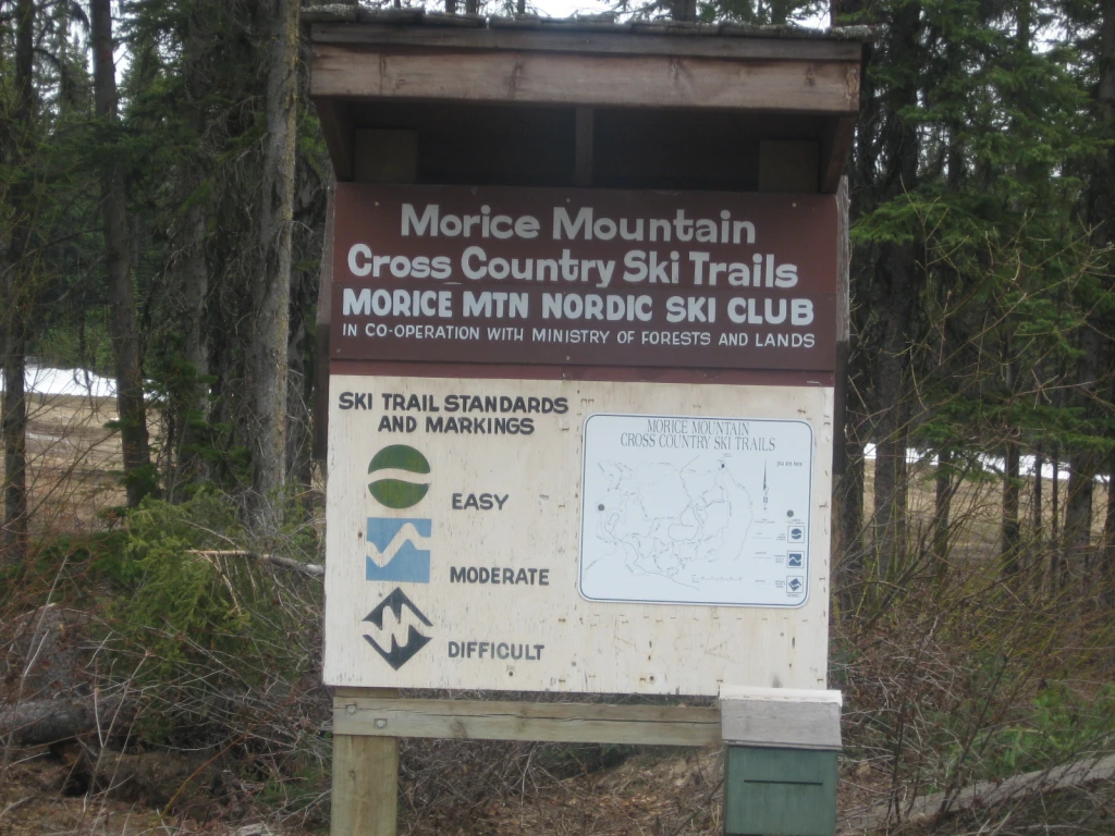
Silverthorne Lake
Houston · Rec Site · 9 sites74GreatGravelhas photoscuratedgood sizelakeMTB trailsdrive (one-way)997 kmdrive time13h 23mround-trip$394.89239.3 LThFrSa18°/5° · looking greatSwimmingMTB trailsBikingLakeBoat launch+27 km· Co-op Cardlock7 km· HoustonNearby MTB (1)- Houston~7 km
First-come, first-servedSource ↗A 8-unit campground in a forested setting along the shores of Silverthorne Lake, near the town of Houston. Notable features include a picnic shelter with wood stove and picnic tables, sandy beach, an island in the middle of the lake, and extensive trails connected to the Morice Mountain Nordic Ski Area. The campsites are spread out along the shoreline. The lake is not a good fishing lake but popular for paddling and swimming.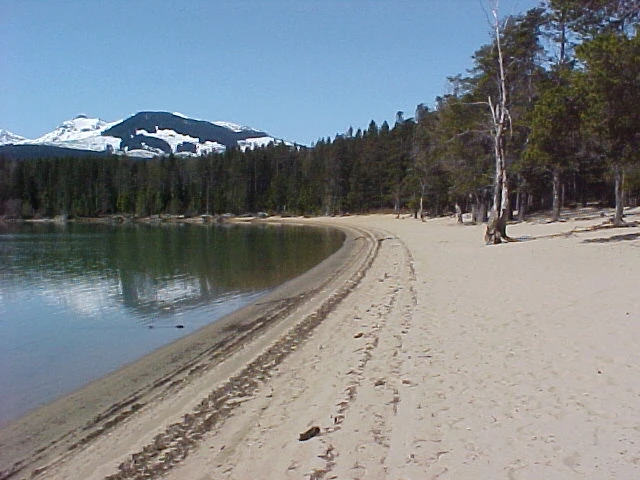
Red Sand Lake
Terrace · Rec Site · 21 sites74GreatGravelhas photoscuratedgood sizelakeMTB trailsdrive (one-way)1286 kmdrive time17h 54mround-trip$509.33308.7 LThFrSa17°/8° · 1 wet daySwimmingBoat launchLakeHikingMTB trails+222 km14 km· Rosswood43 kmNearby attractions (2)- Red Sand Operations Trail0.6 km
- Kalum Lake Boat Launch9.1 km
Nearby MTB (1)- Terrace~25 km
First-come, first-servedSource ↗Red Sand Lake Demonstration Forest has 2 camping areas (Red Sand Lake: a 20 unit site with facilities that include tables, firepits, pit toilets,a wheelchair accessible campsite and toilet, and a picnic shelter; Hart Farm: a 16 unit site with facilities that include tables, firepits and pit toilets. There are also 3 short and easy trails which begin and end at the Red Sand campground. During spring melt or heavy rains the West Kalum forest road may flood around the 25 km mark preventing entry or exit from Redsands and Hart Farm Recreation Sites. High water conditions may last for several we…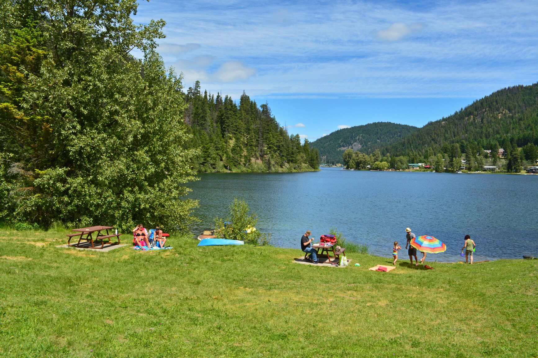
Allison Lake Provincial Park
— · BC Park · 22 sites73GreatPavedhas photoscuratedgood sizewaterlakedrive (one-way)134 kmdrive time1h 47mround-trip$52.8832.0 LThFrSa30°/8° · looking greatBoat launchFishingSwimmingBikingPit toilet+319 km· Trading Post19 km· Tulameen1 km· Allison LakeMixed (some reservable)Source ↗Off the beaten track, you’ll find tree-bordered Allison Lake. This is a desirable spot for swimmers and those who love to fish. The park is known for its spectacular stands of aspen that burst into golden colours in the fall. Allison Lake Park is a great overnight spot when travelling between Merritt and Princeton.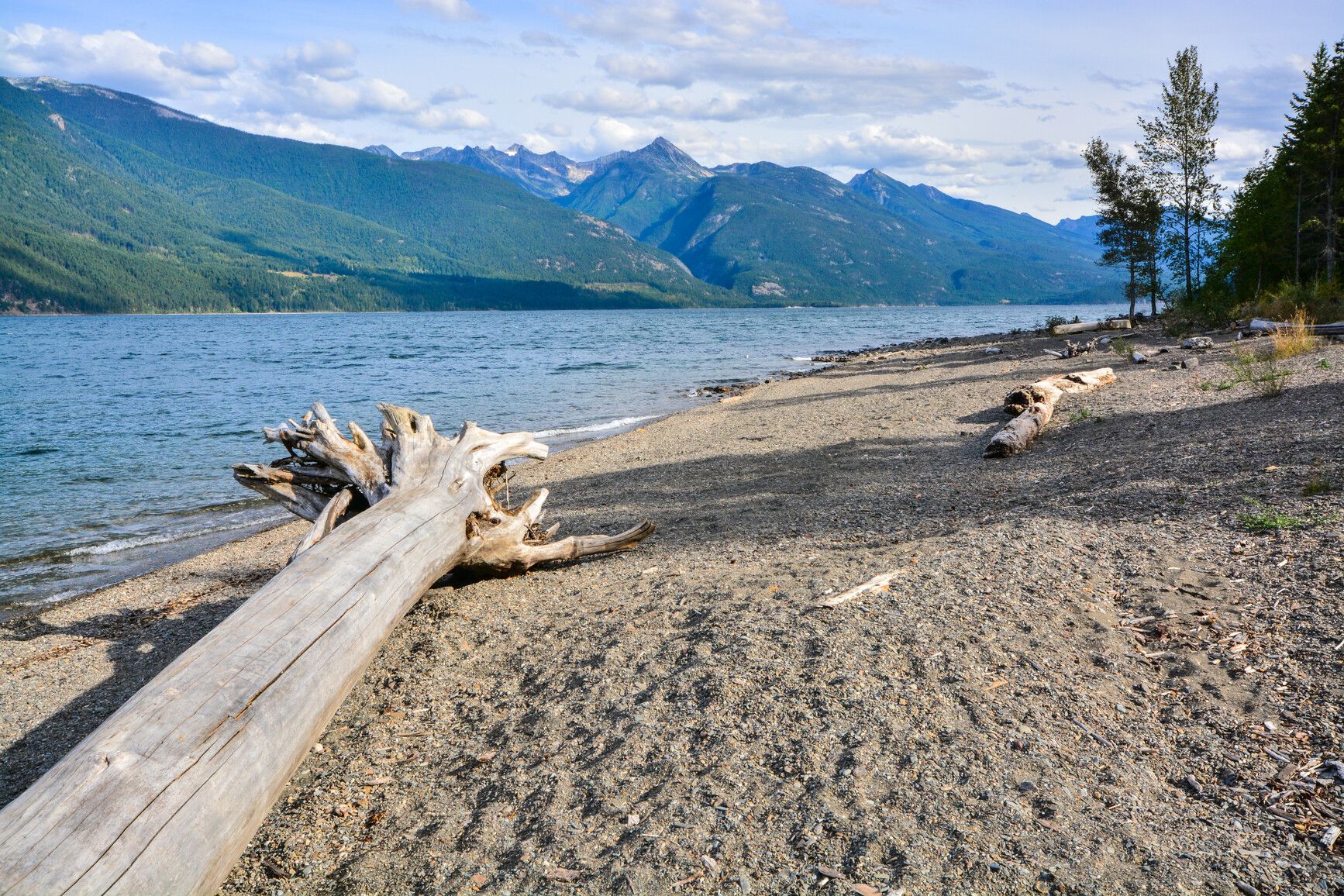
Kootenay Lake Provincial Park
— · BC Park · 46 sites73GreatPavedhas photoscuratedgood sizewaterlakedrive (one-way)390 kmdrive time5h 43mround-trip$154.5193.6 LThFrSa28°/6° · looking greatBoat launchSwimmingFishingBikingPit toilet+36 km· CBA3 km· Kootenay Bay5 km· Fraser Lake14 km· Plaid Lake TrailheadMixed (some reservable)Source ↗Kootenay Lake Park is truly an undiscovered Kootenay gem. Are you in need of a working sabbatical? With its newly installed WiFi, Davis Creek is the perfect place to hunker down and get it done, between fishing, paddling, hiking, and biking, of course. The new group site can be booked for your private function up to one year in advance, check it out on the BC Parks reservations system . In addition to the opportunities listed above, this park offers numerous other recreational opportunities. Nestled between the Selkirk’s and the Purcell’s, visitors can also discover Mount Buchanan Look Out, Hamill Creek (Earl Grey) Trail, Fry Creek Canyon, Monica Meadows, or Idaho Peak. Visit the Kaslo Tourist Information Centre located in the restored SS Moyie. This beautifully restored sternwheeler is…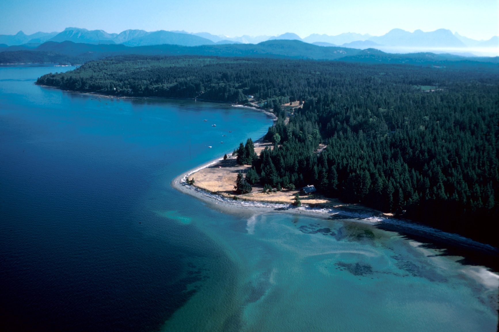
Smelt Bay Provincial Park
— · BC Park · 24 sites73GreatPavedhas photoscuratedgood sizewaterlakedrive (one-way)777 kmdrive time12h 31mround-trip$307.68186.5 LThFrSa22°/14° · looking greatBoat launchSwimmingFishingBikingPit toilet+311 km· Squirrel Cove General Store4 km· Mansons Landing5 km· Gunflint LakeNearby MTB (1)- Campbell River~20 km
Mixed (some reservable)Source ↗Located on the southern peninsula of Cortes Island, Smelt Bay Park is named for the capelin fish that spawn ashore by the tens of thousands. Females lay up to 65,000 eggs on the shore in late September and early October, which hatch within three weeks. These small, silver fish draw a variety of other marine life to the area. The park features a beautiful beach that extends from the south end of Smelt Bay around the shoreline to Sutil Point. It is a great place for marine exploration at low tide. The beach is backed by mounds which are believed to have been built by Coast Salish First Nations as a form of defense. This is the only provincial campground on remote Cortes Island. It offers 22 spacious campsites laid out in a delightful setting in the woods, overlooking Smelt Bay.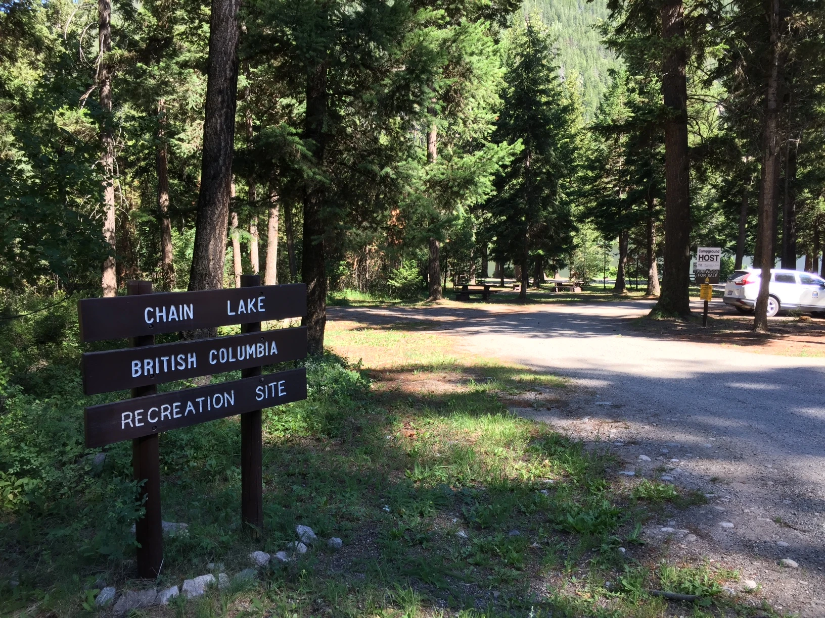
Chain Lake West
Princeton · Rec Site · 34 sites72GreatGravelhas photoscuratedgood sizelakeMTB trailsdrive (one-way)104 kmdrive time2h 4mround-trip$41.0624.9 LThFrSa27°/7° · looking greatMTB trailsBikingBoat launchFishingLake+119 km· Elkhart Gas Station2 km· JellicoeFirst-come, first-servedSource ↗Found in a semi-open area next to the lake, this popular and busy recreation site is easily accessed with moderate to large RV units. The site is used mainly by campers and fishermen, but the nearby Kettle Valley Railway is a popular destination for hiking and mountain biking enthusiasts too. There are two smaller but functional boat launches.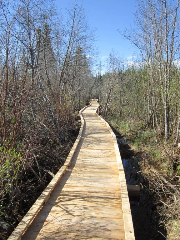
Gavin Lake
Likely · Rec Site · 5 sites72GreatGravelhas photoscuratedgood sizelakeMTB trailsdrive (one-way)490 kmdrive time7h 20mround-trip$194.12117.6 LThFrSa24°/8° · looking greatMTB trailsBikingFishingLakePit toilet+127 km· Race Trac14 km· Hydraulic7 km· Jacobie LakeFirst-come, first-servedSource ↗This is a small open area rec site with 5 designated sites and a boat launch. It is located beside the Gavin Lake Education Center, and we request users respect the centers facilities. The site is also the start of the new trail around the lake, which includes 800m of low mobility boardwalk and a bridge over the inlet creek. Bring your Mountain Bike, the trails across the road have been expanded to include some single track bike trails. The site also has low mobility trail and outhouse.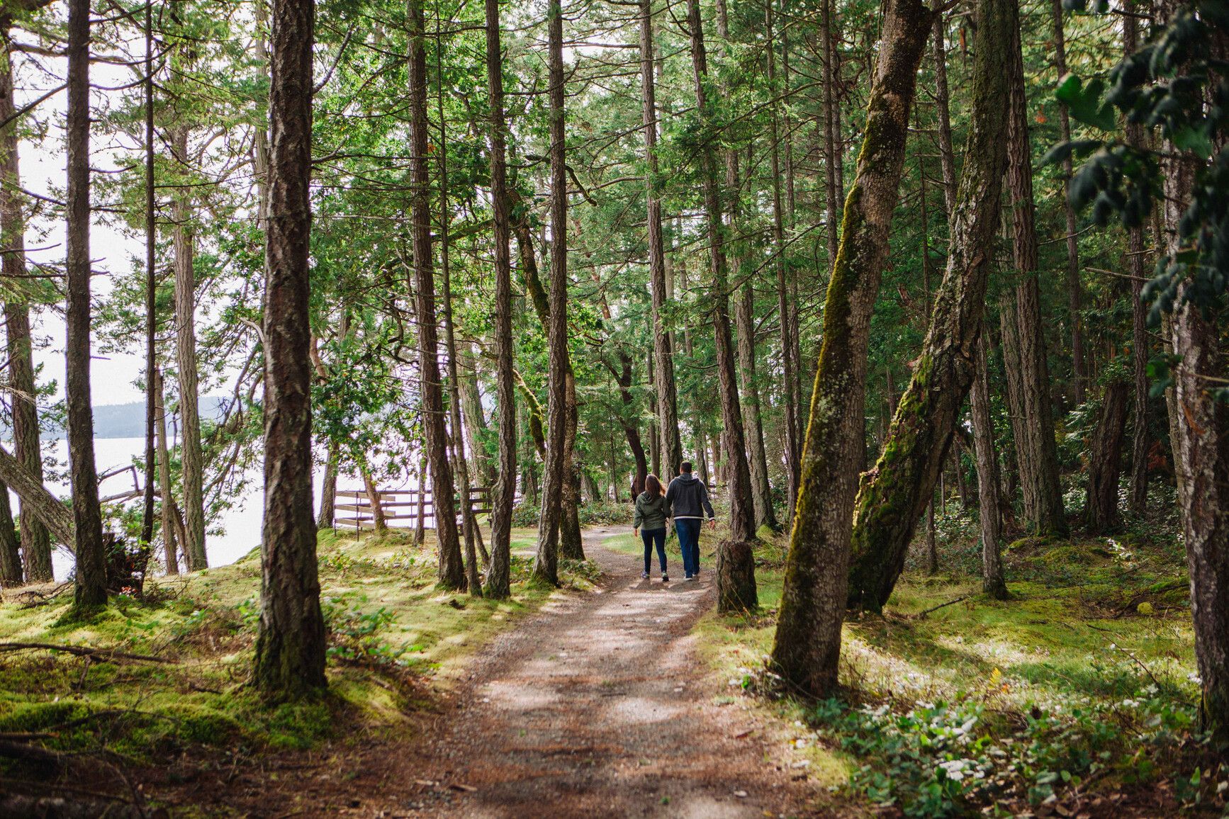
Saysutshun (Newcastle Island Marine) Park
— · BC Park · 18 sites71GreatPavedhas photoscuratedgood sizewaterlakedrive (one-way)468 kmdrive time6h 58mround-trip$185.42112.4 LThFrSa22°/14° · looking greatHikingFishingSwimmingBikingPit toilet+32 km· Esso3 km· Nanaimo1 km· Mallard LakeNearby MTB (1)- Nanaimo~2 km
Reservation requiredSource ↗For an experience rich in history, culture and entertainment, do what people have been doing since the 1930s and hop on a boat to Saysutshun (Newcastle Island Marine) Park. Bring your own boat or take the passenger ferry from Nanaimo (a 10 minute ride that deposits passengers on Newcastle Island), located just a few hundred metres offshore from Vancouver Island. From a distance you’ll see an island shoreline dominated by steep sandstone cliffs and ledges, interspersed with sunny beaches. A marked contrast to the interior of the island, which is studded with mature Douglas fir, Garry oak, arbutus and Big Leaf maple trees. Visitors to Newcastle Island can choose from an extensive network of walking and hiking trails that lead to various historic points around the island. Indigenous midden…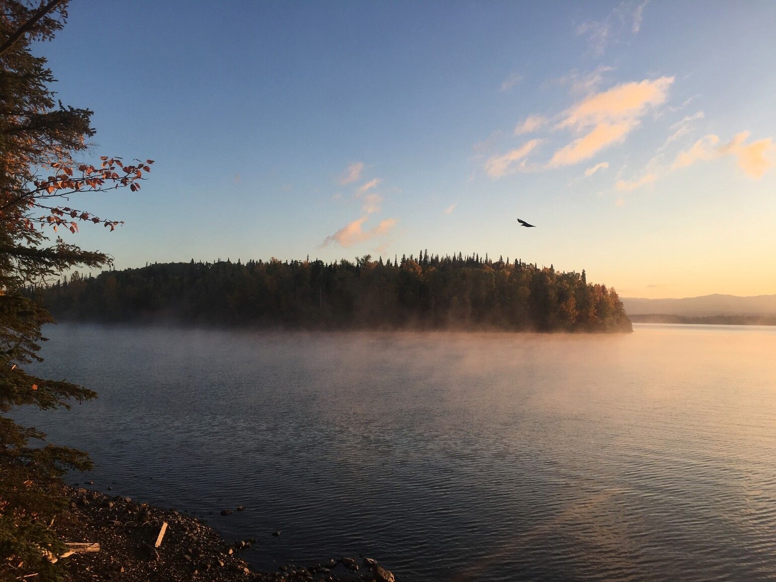
Red Bluff Provincial Park
— · BC Park · 34 sites70GreatPavedhas photoscuratedgood sizewaterlakedrive (one-way)1002 kmdrive time13h 29mround-trip$396.91240.6 LThFrSa21°/8° · looking greatHikingBoat launchSwimmingFishingBiking+358 km· Race Track4 km· Fulton RiverMixed (some reservable)Source ↗On Babine Lake near the community of Granisle, this popular park is named for the iron stained cliffs that plunge almost perpendicularly into the lake. Park visitors can swim, sunbathe, angle for a rainbow trout or take in the salmon enhancement projects at nearby Fulton River and Pinkut Creek. Boaters like to explore the extensive shoreline of Babine Lake, the longest natural fresh water lake in British Columbia.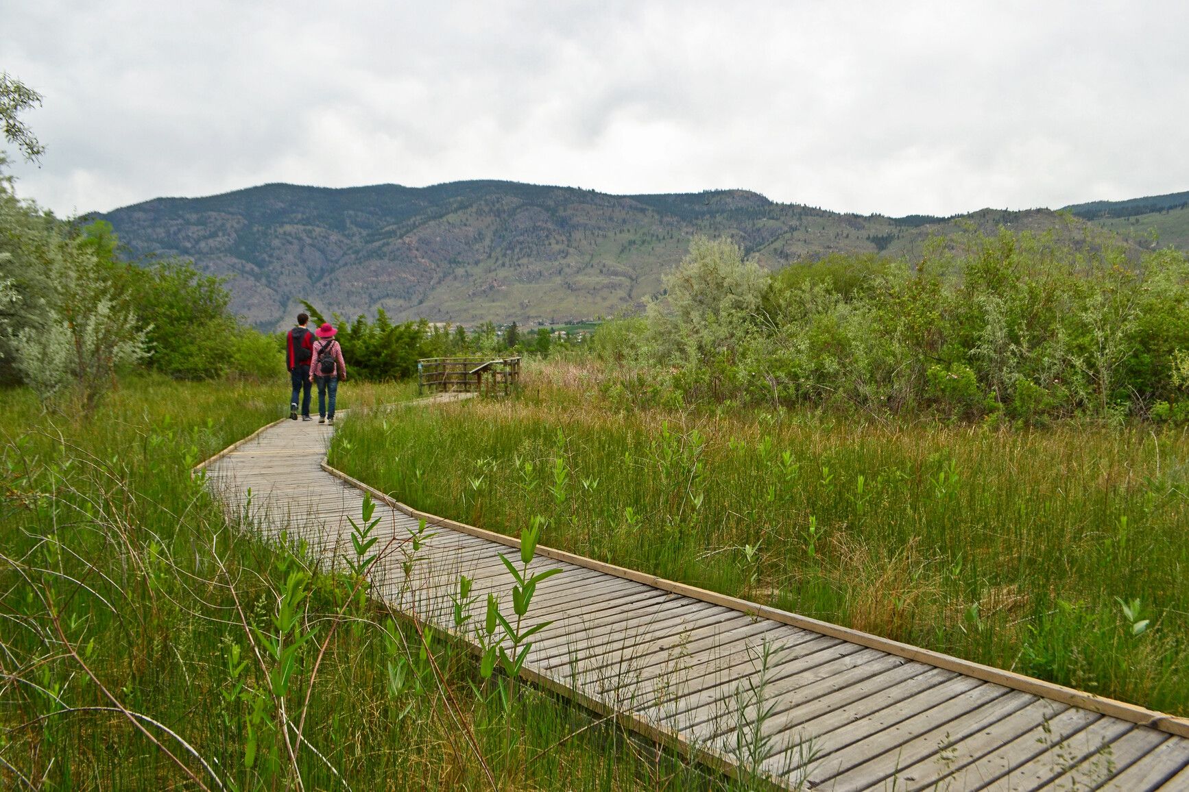
sẁiẁs Provincial Park (Haynes Point)
— · BC Park · 41 sites69GreatPavedhas photoscuratedgood sizewaterlakedrive (one-way)127 kmdrive time2h 7mround-trip$50.1530.4 LThFrSa36°/15° · looking greatHikingPit toiletPotable waterBoat launchFirepit+11 km· Starlite Marina & Beach Shop2 km· Osoyoos3 km· Peanut LakeNearby MTB (1)- Osoyoos~2 km
Mixed (some reservable)Source ↗sẁiẁs Park is proudly managed and operated by the Osoyoos Indian Band. sẁiẁs Park is located within the traditional territory of the Osoyoos Indian Band. Since time immemorial, the Osoyoos Indian Band’s Okanagan ancestors have inhabited and cared for the lands and waters within their traditional territory. sẁiẁs sounds similar to “s-wee-yous” and means a place where it is shallow or narrow in the middle of the lake. The place name explains how the area was used to cross Osoyoos Lake by foot or by horse. Audio Files: The nqilxʷcən/nsyilxcən place name for sẁiẁs park was recorded by Osoyoos Indian Band Elder Jane Stelkia and Westbank First Nation Elder and language teacher Delphine Armstrong. Jane’s nqilxʷcən skʷist (traditional name) is qʷʕayxnmitkʷ xʷəstalk̓iyaʔ. Delphine’s nqilxʷcən sk…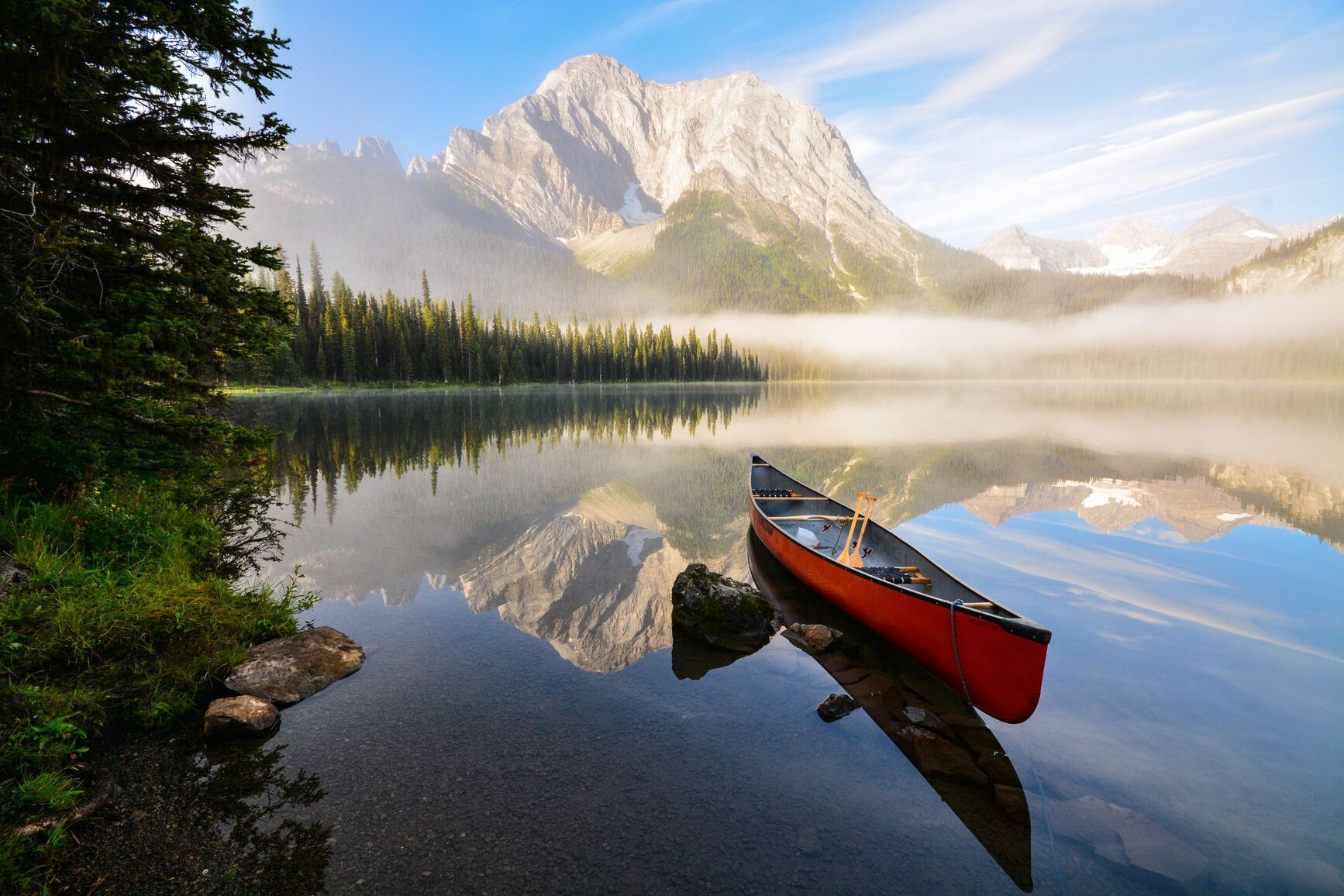
Elk Falls Provincial Park
— · BC Park · 122 sites69GreatPavedhas photoscuratedwaterMTB trailslots to dodrive (one-way)733 kmdrive time10h 43mround-trip$290.35176.0 LThFrSa23°/11° · looking greatHikingSwimmingFishingBikingMTB trails+42 km· Chevron4 km· Duncan BayNearby MTB (1)- Campbell River~3 km
Mixed (some reservable)Source ↗Located within the western ranges of the southern Rocky Mountains, Elk Lakes Park is an easily accessible wilderness park. It boasts outstanding sub-alpine landscapes, remnant glaciers, rugged peaks, and productive lakes. Elk Lakes offers a variety of hiking experiences , including some maintained trails that are appropriate for all family members with some experience in backcountry hiking.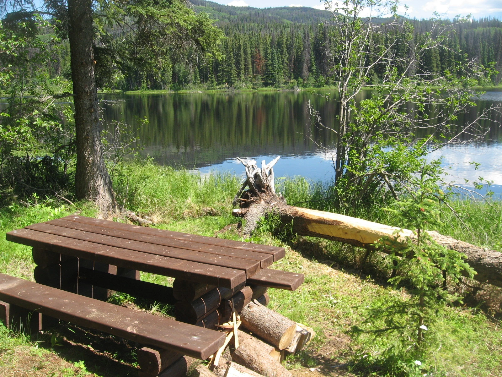
Boer Mountain
Burns Lake · Rec Site · 12 sites69GreatGravelhas photoscuratedgood sizelakeMTB trailsdrive (one-way)917 kmdrive time12h 27mround-trip$363.10220.1 LThFrSa22°/8° · looking greatFishingBoat launchHikingMTB trailsBiking+16 km· SNE C'AL YEGH GAS6 km· Burns Lake2 km· Kager Lake0 km· Boer Mountain Shuttle Drop TrailheadNearby attractions (3)- BEAR DENS Trail8.5 km
- Omineca Ski Club8.6 km
- EAGLE CREEK/Opal Beds Trail9.4 km
Nearby MTB (2)- Burns Lake~6 km
- Bulkley Nechako~30 km
First-come, first-servedSource ↗ATTENTION: Trail network is open, although some trails remain closed for post-fire danger tree assessments and falling. Please obey all posted closures and signage, and visit Trail Forks for more information: https://www.trailforks.com/region/boer-mountain-and-kager-lake/ A large recreation area with a sizeable mtn bike network, as managed by Ride Burns, a 14 unit vehicle accessible campground, and 3 km trail around the lake with three walk-in campsites and a dock. Visit the Ride Burns site for more information: https://www.rideburns.ca/index.php/en/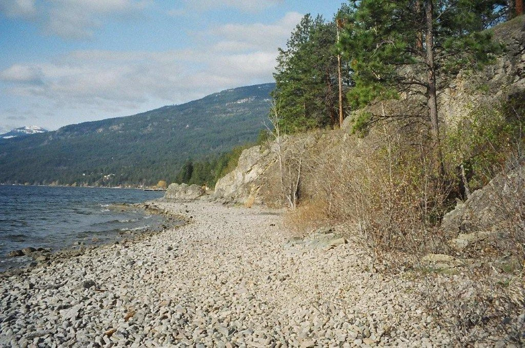
Evely
Vernon · Rec Site · 48 sites68GreatGravelhas photoscuratedgood sizewaterlakedrive (one-way)47 kmdrive time55 minround-trip$18.6711.3 LThFrSa34°/14° · looking greatSwimmingFishingBoat launchPit toiletLake+18 km· Little Kingdom9 km· Fintry6 km· Tompson LakeNearby MTB (1)- Vernon~15 km
First-come, first-servedSource ↗<BR><BR> THERE ARE NO RESERVATIONS AVAILABLE AT EVELY RECREATION SITE <BR><BR> EVELY RECREATION SITE HAS SPECIFIC DURATION OF STAY RULES <BR><BR> 14 DAY STAY MAXIMUM AND YOU MUST LEAVE EVELY FOR 14 DAYS BEFORE RETURNING TO THE SITE <BR><BR> There are no garbage facilities at this site please pack out your garbage <BR><BR> RV and tenting sites right on Okanagan Lake. No potable water. Short walking trails. A small boat launch. Swimming beach. <BR><BR> The Okanagan Lake Recreation Site was renamed the Evely Recreation Site in honour of the late Glen Evely to pay tribute to his commitment to p…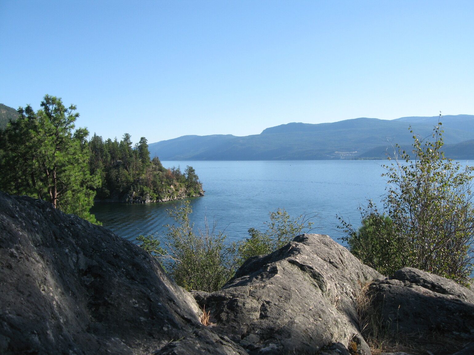
Ellison Provincial Park
— · BC Park · 71 sites68GreatPavedhas photoscuratedwaterlakelots to dodrive (one-way)66 kmdrive time1h 14mround-trip$26.0615.8 LThFrSa34°/14° · looking greatHikingBoat launchFishingSwimmingBiking+412 km· Chevron7 km· Fintry2 km· Tompson LakeNearby MTB (1)- Vernon~16 km
Mixed (some reservable)Source ↗Nestled on the northeastern shore of Okanagan Lake, Ellison Park includes 220 hectares of forested benchlands above a rocky shoreline of scenic headlands and sheltered coves. The park’s natural attractions, combined with the dry, sunny Okanagan climate, provide many recreational opportunities from spring through fall. Hiking trails along the scenic headlands are steep, requiring care and attention.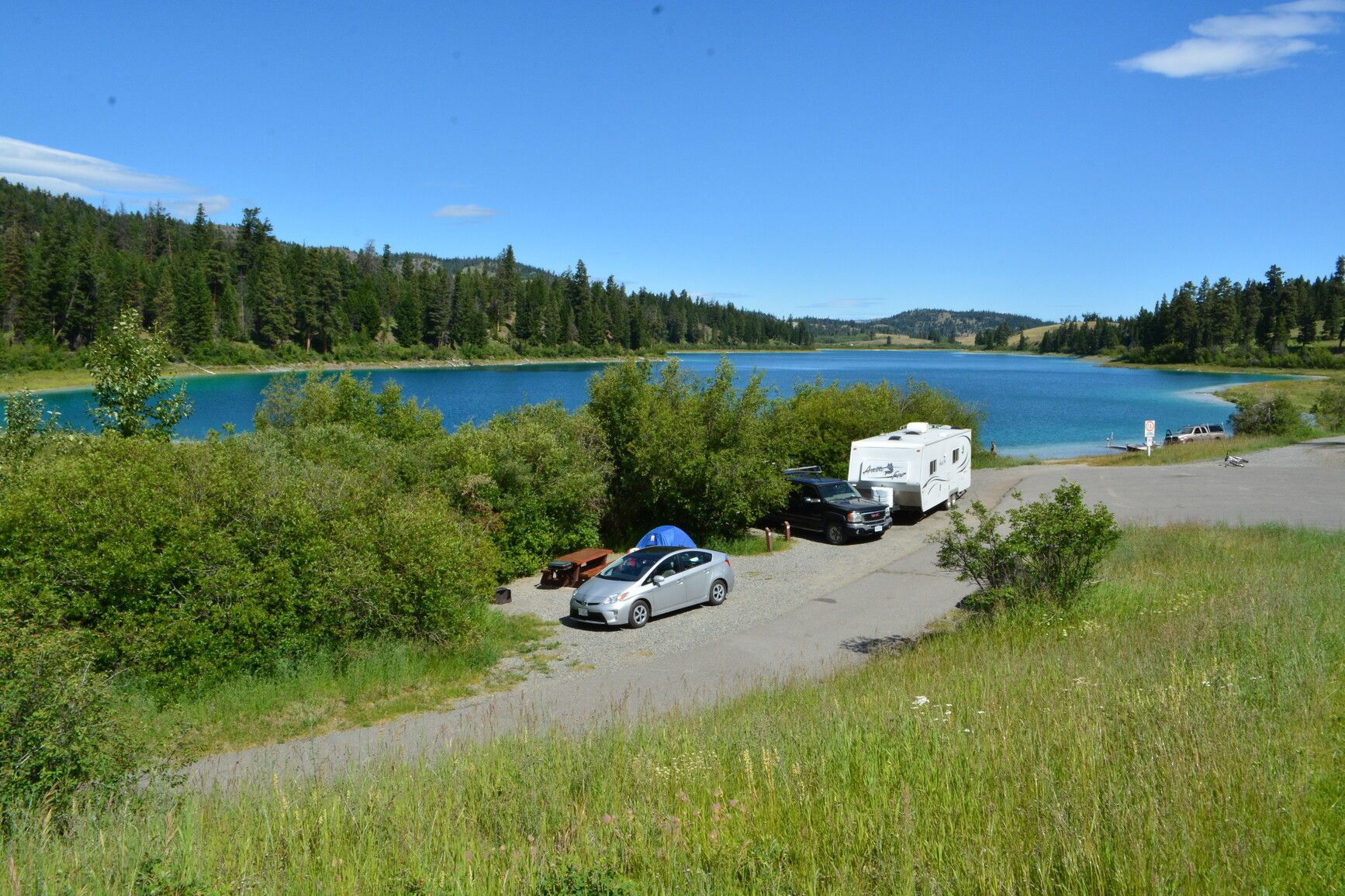
Kentucky-Alleyne Provincial Park
— · BC Park · 74 sites68GreatPavedhas photoscuratedwaterlakelots to dodrive (one-way)96 kmdrive time1h 34mround-trip$38.2123.2 LThFrSa29°/8° · looking greatHikingBoat launchSwimmingFishingBiking+420 km· Elkhart Gas Station5 km· Aspen Grove1 km· Alleyne LakeNearby attractions (2)Mixed (some reservable)Source ↗Wide open spaces, great fishing, wildlife, old west history and a quiet camping spot can all be yours in less than a 90-minute drive from the central Okanagan. In the heart of cattle country, rolling grasslands and dry open forest surround the sparkling turquoise waters of Kentucky Lake and Alleyne Lake. The scenery is spectacular from early April to late October with springs’ palette of soft pastels slowly changing to the vibrant golds of autumn. Once known only to local fishers and their friends, the park is being discovered as a weekend destination from the coast and from the Okanagan. The Coquihalla Highway and the Highway 97C Connector have made the access easier to these beautiful fishing lakes. This is also an excellent spot for viewing small mammals and large bird species.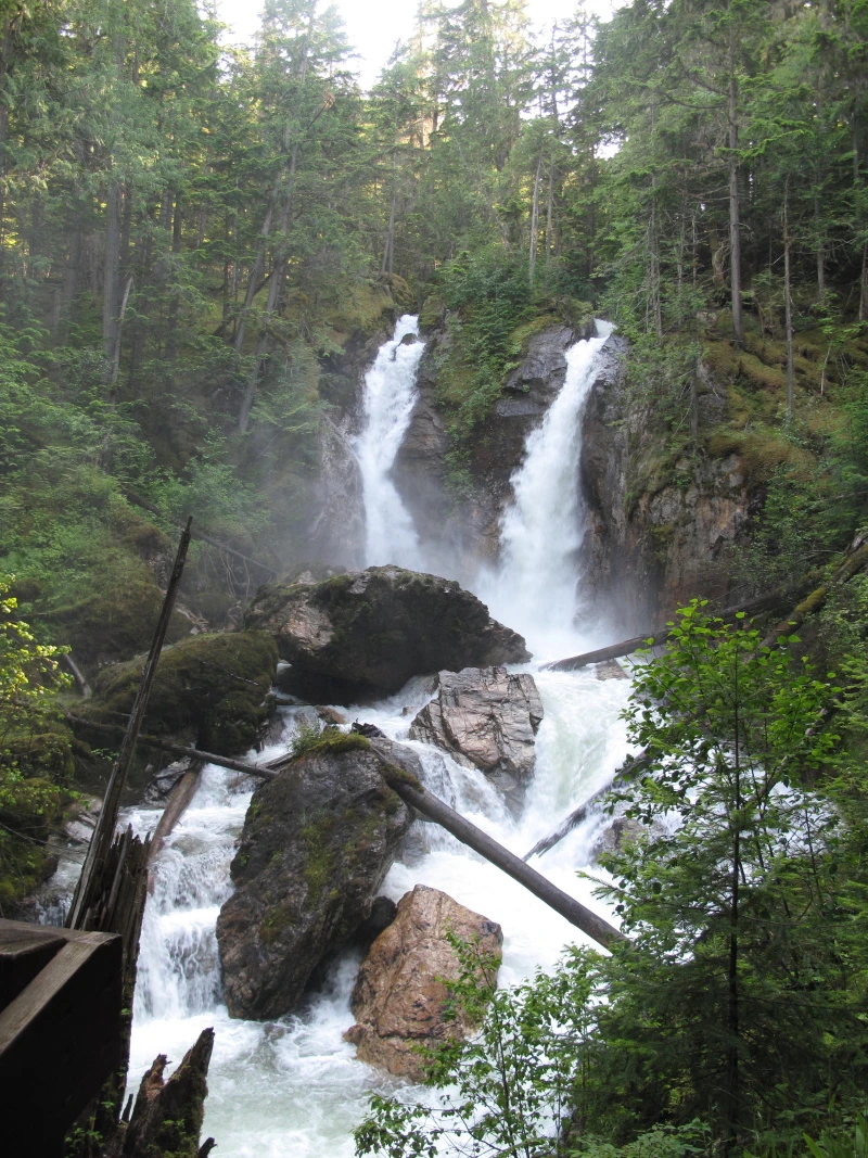
Begbie Falls
Revelstoke · Rec Site · 26 sites68GreatGravelhas photoscuratedgood sizelakeMTB trailsdrive (one-way)202 kmdrive time3h 2mround-trip$80.1548.6 LThFrSa34°/12° · looking greatHikingMTB trailsBikingPit toiletLake7 km· Big Eddy Market7 km· Revelstoke3 km· Begbie Lake57 km· Halfway Hot Springs1 km· Bagbie FallsNearby MTB (3)- Revelstoke Mountain Resort~4 km
- Revelstoke~6 km
- Sol Mountain~14 km
First-come, first-servedSource ↗Begbie Falls is a waterfall at the mouth of Begbie Creek on the Upper Arrow Lake. The day use site is located at the end of the Begbie Falls Forest Service Road (FSR). <BR> Access the falls by vehicle on Begbie Falls FSR or trail access from the Begbie Bluffs Parking area on Highway 23S via the Bluff Trail. The trail is a shared multi-use trail.<BR><BR> The Begbie Falls campground is located 2km down Begbie Falls FSR (just before the falls). There are 26 sites and there is a $18.00 fee. <br>Debit and Credit card payment options are available. <br><strong>NOTE: Water is not easily accessible…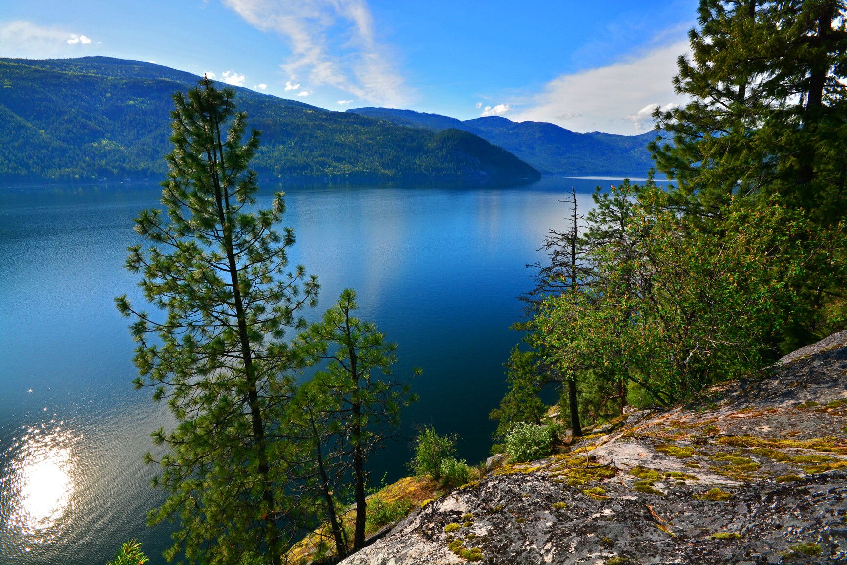
Gladstone Provincial Park
— · BC Park · 63 sites68GreatPavedhas photoscuratedwaterlakelots to dodrive (one-way)210 kmdrive time4h 4mround-trip$83.1650.4 LThFrSa34°/15° · looking greatHikingBoat launchSwimmingFishingBiking+420 km· Tempo19 km· Fife7 km· Xenia LakeNearby attractions (2)- Walker Creek Cabin12.2 km
- Lynch Creek12.4 km
Mixed (some reservable)Source ↗Gladstone Park is most well known for the vehicle-accessible Texas Creek campground. The park also has significant wilderness value. It provides a diversity of habitats in the Selkirk Foothills eco section of the province that is found nowhere else. These include Kokanee spawning areas, winter range for deer and elk, and of particular importance, low elevation habitats and old growth cedar and hemlock forests. There are several short trails that lead from the campground to the lake. Christina Lake has a reputation as one of the warmest and clearest lakes in Canada. There are several pocket beaches that provide great opportunities for privacy and quiet moments. The Monashee Mountains surround the lake and it is a perfect backdrop for a variety of water-oriented recreational activities. F…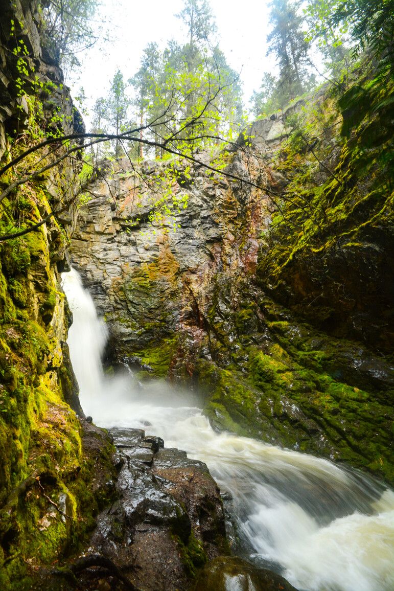
Syringa Provincial Park
— · BC Park · 86 sites68GreatPavedhas photoscuratedwaterlakelots to dodrive (one-way)329 kmdrive time4h 56mround-trip$130.2078.9 LThFrSa30°/12° · looking greatHikingBoat launchFishingSwimmingBiking+417 km· Tempo11 km· Deer ParkNearby attractions (2)- 24 Mile Snowmobile Area10.5 km
- Deer Creek Falls12.8 km
Nearby MTB (1)- Castlegar~19 km
Mixed (some reservable)Source ↗Syringa Park is located in south central B.C. near the southeast end of the Lower Arrow Lake. The lake is a part of the Columbia River that was widened and deepened with the construction of the Hugh Keenleyside Dam at Castlegar. Recreation opportunities on the Arrow Lake Reservoir have made the park a long time popular destination. This park offers a comfortable base camp for visitors to pursue a variety of activities including fishing, boating and swimming. Explore local history and visit the Doukhbour Village Museum and Zukerberg Island located in nearby Castlegar. The park protects not only provincially significant interior Douglas fir forests but also preserves one of the few remaining examples of grassland ecosystems in the Kootenays. A variety of wildlife are at home in the park i…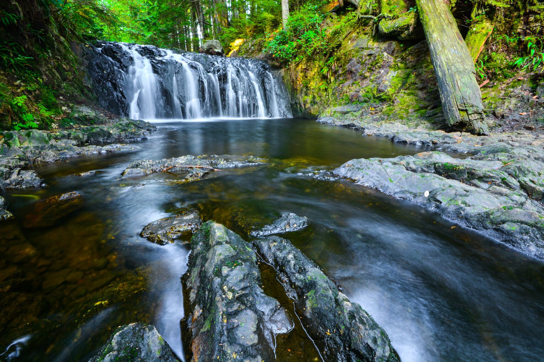
Rolley Lake Provincial Park
— · BC Park · 79 sites68GreatPavedhas photoscuratedwaterlakelots to dodrive (one-way)350 kmdrive time4h 26mround-trip$138.6584.0 LThFrSa25°/11° · looking greatHikingBoat launchFishingSwimmingBiking+48 km· Centex3 km· Stave Falls43 km· Harrison Hot Springs3 km· Reservoir Trail TrailheadMixed (some reservable)Source ↗Less than an hour drive from Vancouver, Rolley Lake Park provides a quick escape from urban life. The park is a predominately flat, wilderness area blanketed with tall, second-growth conifers. The small, warm-water lake provides opportunities for swimming, fishing, and canoeing. Sixty-four campsites are nestled in the trees just minutes from the lakeshore. Visitors can also enjoy picnicking and short hikes.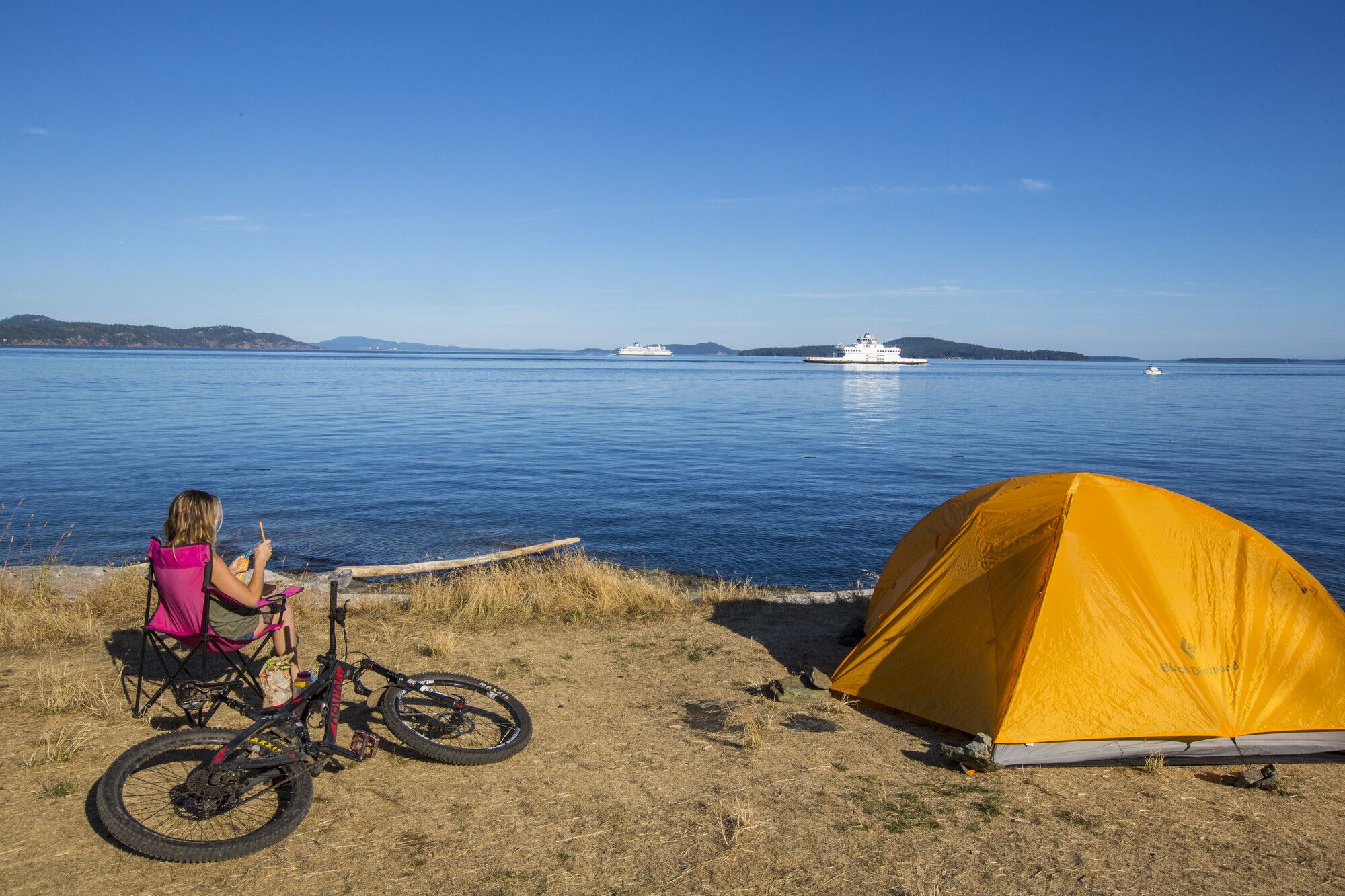
Ruckle Provincial Park
— · BC Park · 86 sites68GreatPavedhas photoscuratedwaterlakelots to dodrive (one-way)459 kmdrive time7h 30mround-trip$181.78110.2 LThFrSa21°/6° · looking greatHikingSwimmingFishingBikingBoat launch+48 km· Driftwood Auto Centre5 km· Fulford Harbour6 km· Roe Lake14 km· Stoney Hill TrailheadNearby MTB (1)- Cowichan~24 km
Mixed (some reservable)Source ↗Ruckle Park on Salt Spring Island is one of the most beautiful parks in the southern Gulf Islands area. Pitch your tent in the grassy meadow overlooking Swanson Channel then lie back and relax, watching pleasure boats and ferries sail by in a stately and colourful parade. With its seven kilometres of shoreline, rocky headlands, and tiny coves and bays, Ruckle Park provides hours or even days of enjoyable exploration. Forest, field, and shore habitats make it one of the most productive wildlife viewing areas on Salt Spring. Watch for sea lions and killer whales out at sea, as well as mink and river otters cavorting along the shoreline. Tidal pools are filled with a brightly coloured mix of crab, mussel, limpet, oyster, sculpin, starfish, and more. Scuba divers frequent the waters off Ruc…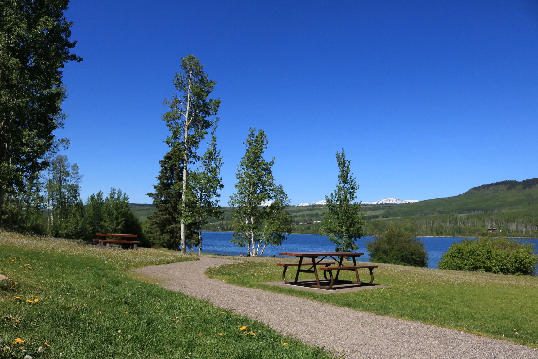
Tyhee Lake Provincial Park
— · BC Park · 71 sites68GreatPavedhas photoscuratedwaterlakelots to dodrive (one-way)1039 kmdrive time13h 55mround-trip$411.40249.3 LThFrSa20°/7° · mixedHikingSwimmingFishingBoat launchBiking+41 km· Race Track1 km· Telkwa1 km· Tyhee LakeNearby attractions (3)- Tyee Mountain Trails6.3 km
- Lunan9.1 km
- Goldeneye Lake12.0 km
Nearby MTB (1)- Smithers~12 km
Mixed (some reservable)Source ↗Tyhee Lake Park is popular family destination in the Skeena East region of northwestern British Columbia. It a great spot for frontcountry camping and has an accessible day-use area on the shore of Tyhee Lake. Tyhee Lake Campground offers both vehicle-accessible and walk-in sites. Some sites at the campground can be reserved, while others are available on a first come, first served basis. Electrified sites and a large groupsite are also available. Other facilities include a beach volleyball court, children’s bike park, accessible picnic shelter, bird viewing platform, and electric vehicle chargers. The park also features a day-use beach, which now offers world-class accessibility features. These include a graded trail and roll-out mobility mat, which provide access to the shore. Other c…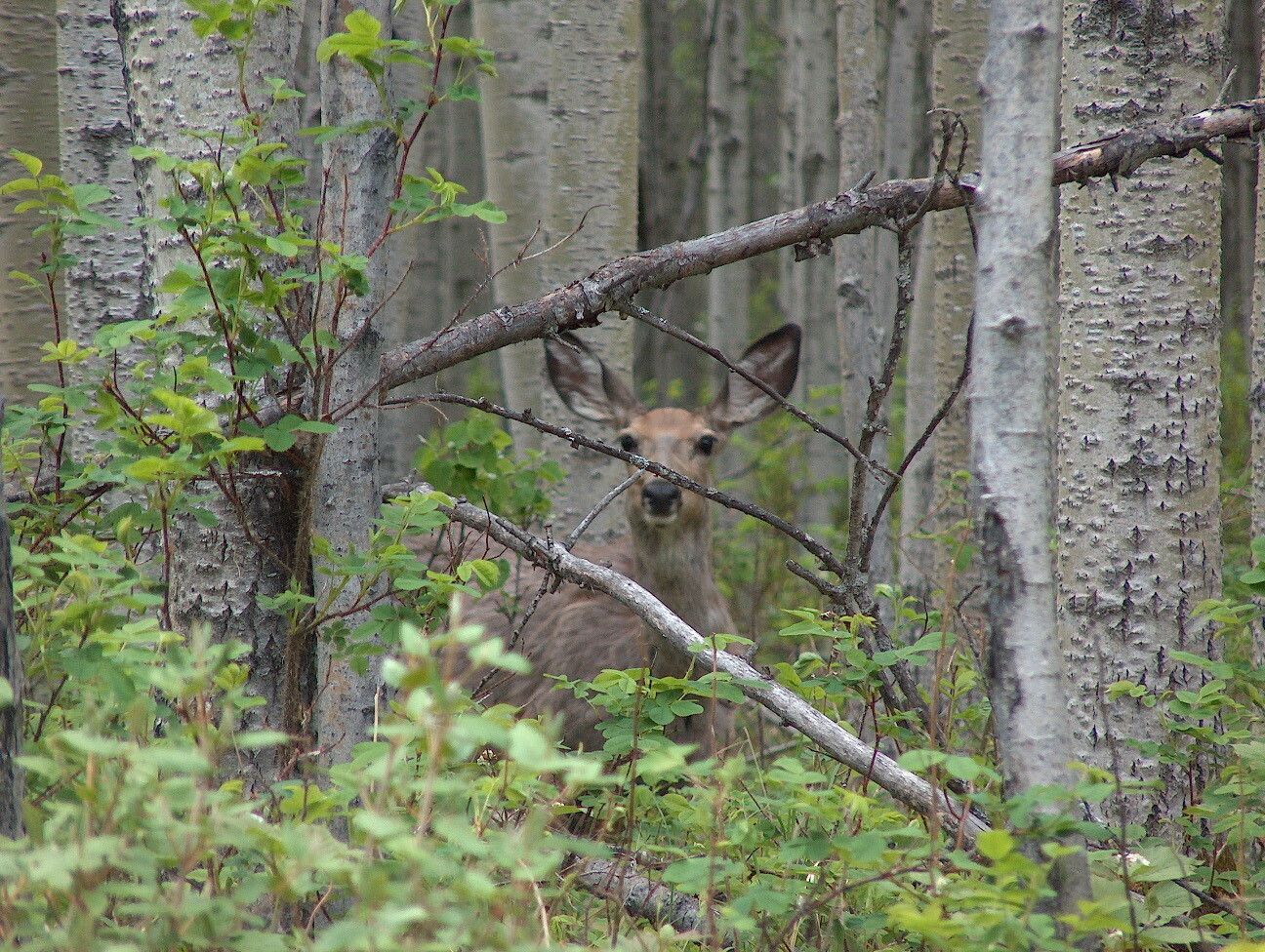
Charlie Lake Provincial Park
— · BC Park · 57 sites68GreatPavedhas photoscuratedwaterlakelots to dodrive (one-way)1134 kmdrive time14h 54mround-trip$448.91272.1 LThFrSa28°/11° · looking greatHikingBoat launchFishingSwimmingBiking+41 km· Chevron4 km· Charlie Lake3 km· Charlie LakeMixed (some reservable)Source ↗Charlie Cole Creek Ecological Reserve was established for preservation of unique cone-shaped cold-water mineral springs used by ungulates as salt licks. Ecological reserves protect special natural ecosystems, and support research and education. They are not intended for outdoor recreation. However, this ecological reserve is open to the public for non-destructive activities like hiking, nature observation and photography. Consumptive activities like hunting, fishing, camping, or foraging are prohibited. Motorized vehicles are not allowed.