Soak & sleep
60+ spots · drive & weather from Kelowna, BCCamps near a hot spring. Ranked by quality score; closed and day-use sites excluded.
Near a hot spring
Loading map…
OriginBC ParkRec Site
© BC Parks Alice Lake Provincial Park
Sea-to-Sky · BC Park · 107 sites77GreatPavedhas photoscuratedwaterlakeMTB trailsdrive (one-way)464 kmdrive time5h 58mround-trip$183.60111.3 LThFrSa20°/6° · looking greatLakeSwimmingBikingMTB trailsHiking+53 km· Petro-Canada9 km· Squamish1 km· Alice Lake32 km· Pitt River Hot Spring1 km· Alice Lakes TrailheadNearby attractions (3)Nearby MTB (1)- Squamish~9 km
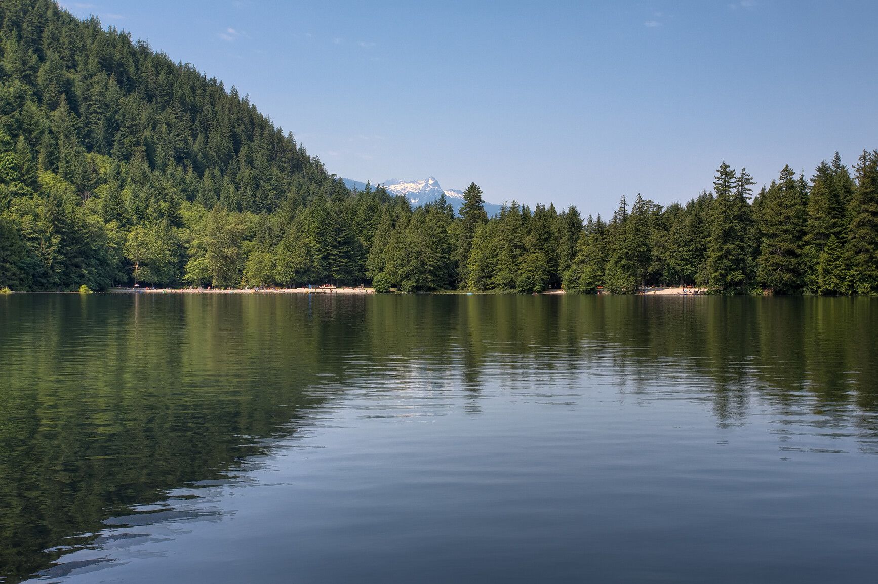
Mixed (some reservable)Source ↗Alice Lake is a popular family park surrounded by towering mountains, dense forests, and grassy areas. Four freshwater lakes dominate the landscape, making this a great park for swimming and fishing. The trail around Alice Lake is a popular spot for evening strolls while more adventurous hikers, will enjoy the Four Lakes Trail . The DeBeck’s Hill Trail , meanwhile, offers excellent views of the Squamish River and the Tantalus Range.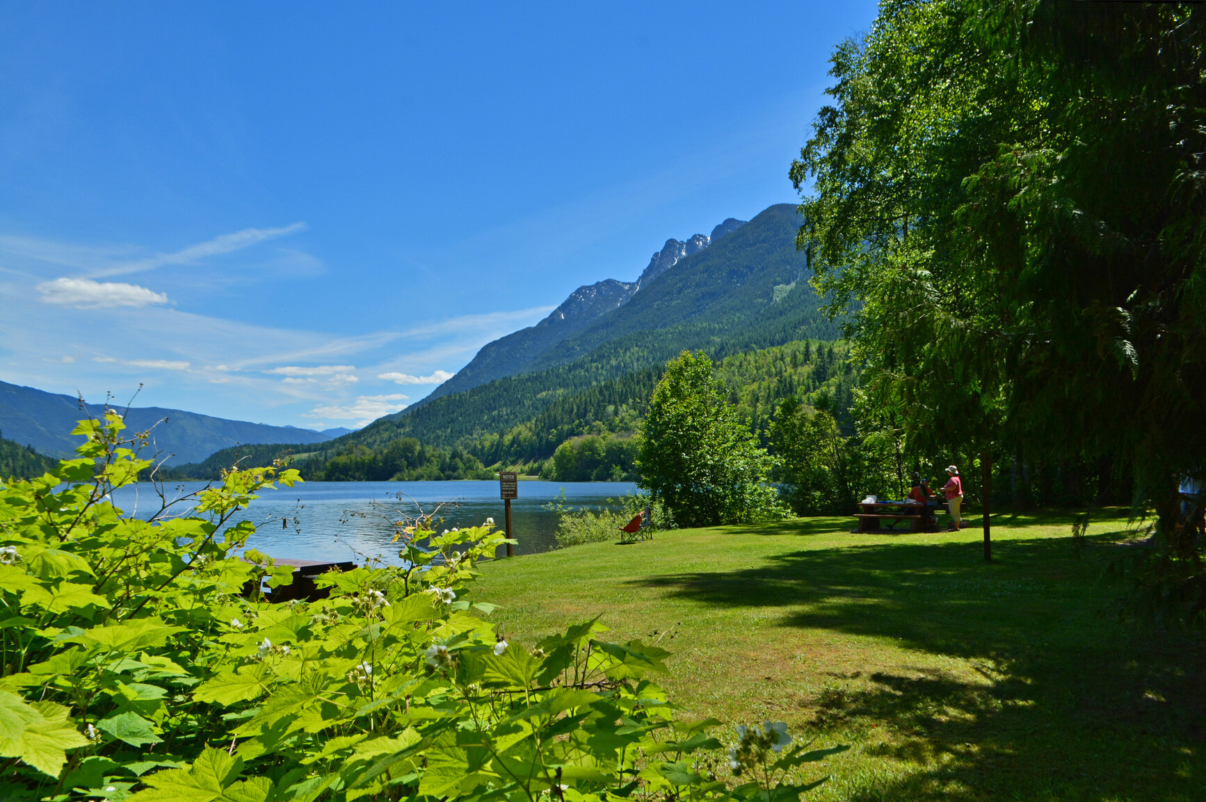
© BC Parks Summit Lake Provincial Park
— · BC Park · 35 sites75GreatPavedhas photoscuratedgood sizewaterlakedrive (one-way)256 kmdrive time4h 9mround-trip$101.3561.4 LThFrSa34°/13° · looking greatHikingBoat launchFishingSwimmingBiking+413 km· Carson's Corner1 km· Summit Lake7 km· Box Lake40 km· Halfway Hot SpringsNearby attractions (3)- Valhalla Hills Nordic8.2 km
- Shannon Lake11.2 km
- Kimbol Lake13.5 km
Nearby MTB (1)- Arrow Slocan~29 km
Mixed (some reservable)Source ↗Summit Lake Park is a beautiful 6 hectare park located with in the Nakusp range of the Selkirk Mountains. Park visitors enjoy canoeing, fishing for rainbow and cutthroat trout or swimming in the lake’s clear, refreshing water. The mountainous backdrop of the park is a stage to the wonders of nature. A natural spectacle occurs as thousands of toads emerge from the lake and migrate to the nearby forest to hibernate for the winter. Mountain goats can often be viewed on rocky outcroppings and in late summer, while birds in flight paint the skyline.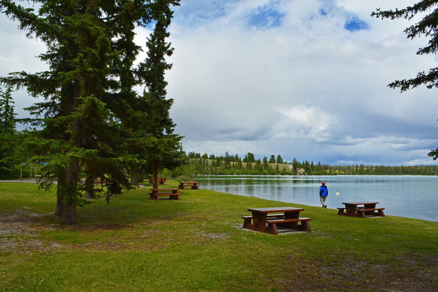
© BC Parks Big Bar Lake Provincial Park
— · BC Park · 46 sites75GreatPavedhas photoscuratedgood sizewaterlakedrive (one-way)328 kmdrive time5h 14mround-trip$129.8678.7 LThFrSa27°/12° · looking greatHikingBoat launchFishingSwimmingBiking+429 km· 70 Mile General Store29 km· Clinton24 km· Canoe Creek Warm SpringNearby attractions (1)- Jesmond Fire Lookout7.2 km
Mixed (some reservable)Source ↗Big Creek Ecological Reserve was established for the permanent protection of natural climax grassland in the Chilcotin region. Ecological reserves protect special natural ecosystems, and support research and education. They are not intended for outdoor recreation. However, this ecological reserve is open to the public for non-destructive activities like hiking, nature observation and photography. Consumptive activities like hunting, fishing, camping, or foraging are prohibited. Motorized vehicles are not allowed.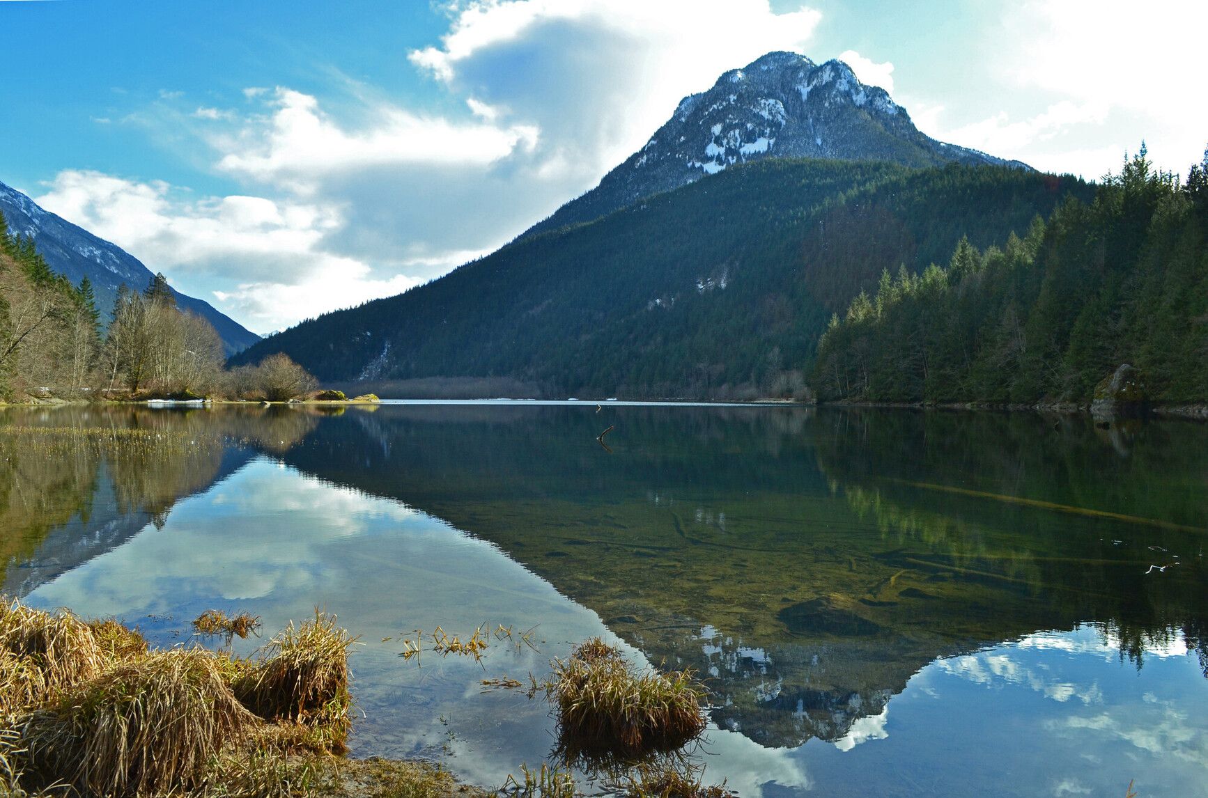
© BC Parks Silver Lake Provincial Park
— · BC Park · 25 sites75GreatPavedhas photoscuratedgood sizewaterlakedrive (one-way)252 kmdrive time3h 10mround-trip$99.6260.4 LThFrSa22°/8° · looking greatHikingFishingSwimmingBikingPit toilet+46 km· Esso8 km· Hope9 km· Eaton Lake28 km· Harrison Hot SpringsNearby attractions (1)- Peers Creek/HBC Trail10.7 km
Mixed (some reservable)Source ↗Situated in the scenic Skagit Valley, Silver Lake Park is a small, undeveloped lakefront area. Visitors can enjoy fishing, picnicking and boating (10 horse power motor limit) against a spectacular mountain backdrop or take pleasure in a rustic camping experience.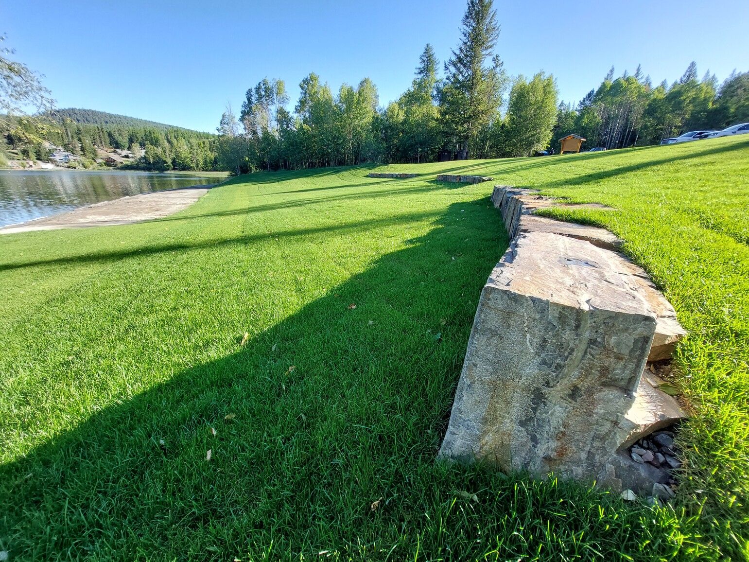
© BC Parks Jimsmith Lake Provincial Park
— · BC Park · 35 sites75GreatPavedhas photoscuratedgood sizewaterlakedrive (one-way)532 kmdrive time7h 23mround-trip$210.81127.8 LThFrSa35°/12° · looking greatHikingSwimmingFishingBoat launchBiking+45 km· Fas Gas6 km· Cranbrook1 km· Jim Smith Lake45 km· Wildhorse Warm SpringsNearby attractions (1)Nearby MTB (2)- Cranbrook~6 km
- Kimberley~23 km
Mixed (some reservable)Source ↗This 35 site campground situated among a lakeside Douglas fir and larch forest, is a peaceful and welcome retreat near the city of Cranbrook. The campground was rebuilt in 2001 to accommodate recreational vehicles. Sunbathing, swimming, non-motorized boating and picnicking are popular activities at Jimsmith Park. The day-use gates are open from 8am to 10pm. This is the perfect setting for nature study and wildlife viewing. In winter, the park is transformed into a snowy playground for tobogganing and ice skating.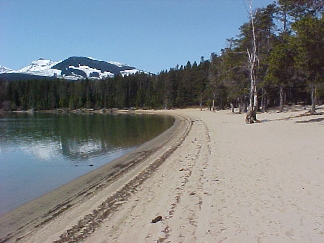
© Recreation Sites and Trails BC Red Sand Lake
Terrace · Rec Site · 21 sites74GreatGravelhas photoscuratedgood sizelakeMTB trailsdrive (one-way)1286 kmdrive time17h 54mround-trip$509.33308.7 LThFrSa17°/8° · 1 wet daySwimmingBoat launchLakeHikingMTB trails+222 km14 km· Rosswood43 kmNearby attractions (2)- Red Sand Operations Trail0.6 km
- Kalum Lake Boat Launch9.1 km
Nearby MTB (1)- Terrace~25 km
First-come, first-servedSource ↗Red Sand Lake Demonstration Forest has 2 camping areas (Red Sand Lake: a 20 unit site with facilities that include tables, firepits, pit toilets,a wheelchair accessible campsite and toilet, and a picnic shelter; Hart Farm: a 16 unit site with facilities that include tables, firepits and pit toilets. There are also 3 short and easy trails which begin and end at the Red Sand campground. During spring melt or heavy rains the West Kalum forest road may flood around the 25 km mark preventing entry or exit from Redsands and Hart Farm Recreation Sites. High water conditions may last for several we…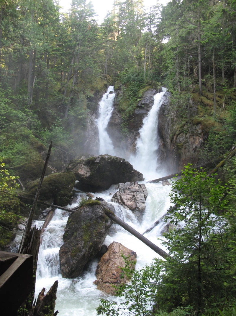
© Recreation Sites and Trails BC Begbie Falls
Revelstoke · Rec Site · 26 sites68GreatGravelhas photoscuratedgood sizelakeMTB trailsdrive (one-way)202 kmdrive time3h 2mround-trip$80.1548.6 LThFrSa34°/12° · looking greatHikingMTB trailsBikingPit toiletLake7 km· Big Eddy Market7 km· Revelstoke3 km· Begbie Lake57 km· Halfway Hot Springs1 km· Bagbie FallsNearby MTB (3)- Revelstoke Mountain Resort~4 km
- Revelstoke~6 km
- Sol Mountain~14 km
First-come, first-servedSource ↗Begbie Falls is a waterfall at the mouth of Begbie Creek on the Upper Arrow Lake. The day use site is located at the end of the Begbie Falls Forest Service Road (FSR). <BR> Access the falls by vehicle on Begbie Falls FSR or trail access from the Begbie Bluffs Parking area on Highway 23S via the Bluff Trail. The trail is a shared multi-use trail.<BR><BR> The Begbie Falls campground is located 2km down Begbie Falls FSR (just before the falls). There are 26 sites and there is a $18.00 fee. <br>Debit and Credit card payment options are available. <br><strong>NOTE: Water is not easily accessible…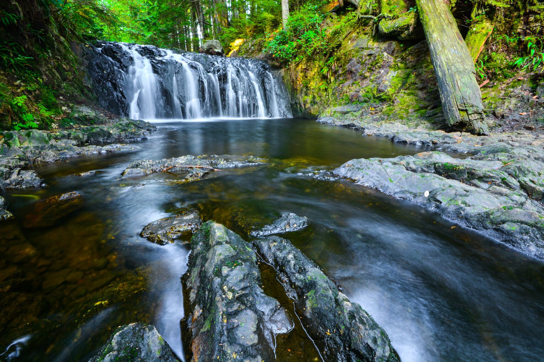
© BC Parks Rolley Lake Provincial Park
— · BC Park · 79 sites68GreatPavedhas photoscuratedwaterlakelots to dodrive (one-way)350 kmdrive time4h 26mround-trip$138.6584.0 LThFrSa25°/11° · looking greatHikingBoat launchFishingSwimmingBiking+48 km· Centex3 km· Stave Falls43 km· Harrison Hot Springs3 km· Reservoir Trail TrailheadMixed (some reservable)Source ↗Less than an hour drive from Vancouver, Rolley Lake Park provides a quick escape from urban life. The park is a predominately flat, wilderness area blanketed with tall, second-growth conifers. The small, warm-water lake provides opportunities for swimming, fishing, and canoeing. Sixty-four campsites are nestled in the trees just minutes from the lakeshore. Visitors can also enjoy picnicking and short hikes.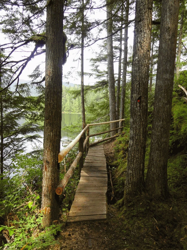
© Recreation Sites and Trails BC Weaver Lake Group Site
West Harrison · Rec Site · 10 sites67Great4x4 onlyhas photoscuratedgood sizelakelots to dodrive (one-way)314 kmdrive time4h 45mround-trip$124.2375.3 LThFrSa26°/11° · looking greatBoat launchLakeFishingHikingPit toilet+17 km· Fas Gas7 km· Sts'a'í:les / Sts'ailes1 km· Francis Lake7 km· Harrison Hot SpringsNearby attractions (1)- Harrison Recreation Site10.5 km
First-come, first-servedSource ↗Enjoy use of this GROUP site for your family or group gatherings. This semi-private site is located at the northeast side of Weaver Lake and boasts a dock, 10 tenting pad sites and a communal fire ring. In addition, it features a beautiful log shelter complete with wood stove, food preparation station and three beautiful log tables. <BR><BR>The fee structure is: weekdays are $200.00/night with weekends and holidays are $290.00 per night. This site is available through reservations only. For more information and site availability visit <a href="http://www.westharrisonreservations.com" target…Norbury Lake Provincial Park
— · BC Park · 46 sites67GreatPavedcuratedgood sizewaterlakelots to dodrive (one-way)563 kmdrive time7h 49mround-trip$222.84135.1 LThFrSa36°/12° · looking greatHikingBoat launchFishingSwimmingBiking+414 km· Centex9 km· Bull River30 km· Wildhorse Warm SpringsNearby MTB (2)- Cranbrook~21 km
- Fernie Alpine Bike Park~29 km
Mixed (some reservable)Source ↗Just south of Fort Steele, Norbury Lake Park encompasses Peckham’s Lake and fronts on Norbury Lake. Beach areas, water sports and pleasant walking trails are available to visitors. Rainbow trout in Peckham’s Lake and the Kootenay Fish Hatchery at Wardner is a short distance away. The Steeples, a distinctive feature of the Hughes Range of the Rocky Mountains, stands clear against the sky to the east of this lightly wooded area.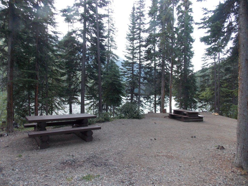
© Recreation Sites and Trails BC Kingdom Lake
Goldbridge · Rec Site · 15 sites66Great4x4 onlyhas photoscuratedgood sizelakelots to dodrive (one-way)408 kmdrive time6h 40mround-trip$161.5497.9 LThFrSa24°/8° · looking greatSwimmingLakeFishingBoat launchHiking+16 km· Esso3 km· Bralorne49 km· Etta's Secret SpringNearby MTB (2)- South Chilcotin~5 km
- Tyax Adventures~6 km
First-come, first-servedSource ↗A pretty lake with mountain views. There are 15 sites located here with 1 good boat launch at the notherm end of the lake. Activities include canoeing,swimming and fishing. A 3.2 km trail (one way) on the north end of the lake leads past the walk in Noel Lake campsite and to Lost Lake campsite that is a nice, intermediate difficulty rated hike.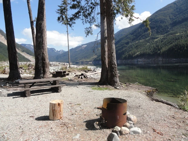
© Recreation Sites and Trails BC Skwellepil Creek
West Harrison · Rec Site · 10 sites66Great4x4 onlyhas photoscuratedgood sizelakelots to dodrive (one-way)320 kmdrive time6h 1mround-trip$126.6376.7 LThFrSa28°/11° · looking greatSwimmingFishingBoat launchHikingPit toilet+118 km· Fas Gas19 km· Sts'a'í:les / Sts'ailes1 km· Chehalis Lake23 km· Harrison Hot SpringsFirst-come, first-servedSource ↗ACCESS TO SKWELLEPIL CREEK REC SITE IS HIGH CLEARANCE 4X4 ONLY. THREE LARGE WATERBARS HAVE BEEN DUG INTO THE ENTRANCE AS OF SUMMER 2022. Skwellepil Creek campsite has changed status to a wilderness site only. This designation means it is still open to the public but no maintenance services will be provided. Available campsite locations will also be reduced. Sites are first come first serve, no reservation system is in place. Please be respectful and pack it in, pack it out. The access road to this site will also receive minimal maintenance and access will be high clearance 4x4 only.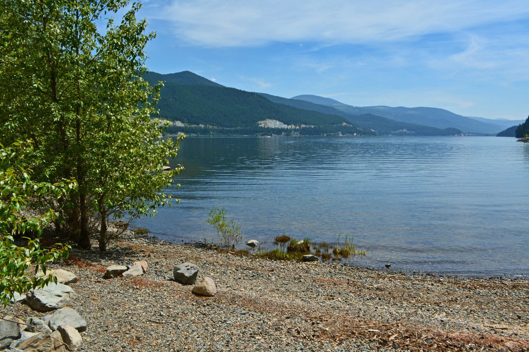
© BC Parks Moyie Lake Provincial Park
— · BC Park · 111 sites65GreatPavedhas photoscuratedwaterlakelots to dodrive (one-way)513 kmdrive time7h 7mround-trip$203.18123.1 LThFrSa29°/9° · looking greatFishingSwimmingBoat launchHikingBiking+410 km· Race Trac9 km· Moyie1 km· Hiawatha Lake55 km· Wildhorse Warm SpringsNearby MTB (1)- Cranbrook~16 km
Mixed (some reservable)Source ↗Located 20 kilometres south of Cranbrook off Highway 3/95, Moyie Lake Park day-use area, boat launch and 111 site campground provides the only public access to the deep blue mountain waters of Moyie Lake. Take a virtual tour of Moyie Lake Park This vacation friendly park features 1,300 metres of developed sandy beach, backed by a large grassy area. Swimming, wind surfing, sailing, boating, wildlife and bird viewing and a variety of fishing experiences enhance Moyie Lake Park. As well, an adventure playground and hot showers are on site.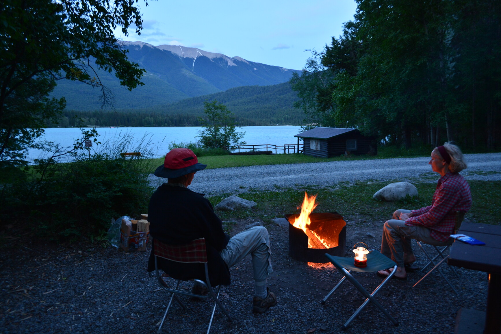
© BC Parks Whiteswan Lake Provincial Park
— · BC Park · 114 sites65GreatPavedhas photoscuratedwaterlakelots to dodrive (one-way)540 kmdrive time8h 5mround-trip$213.97129.7 LThFrSa33°/13° · looking greatHikingFishingBikingBoat launchSwimming+422 km· Gas Plus22 km· Canal Flats1 km· Whiteswan Lake37 km· Wildhorse Warm SpringsMixed (some reservable)Source ↗The shining waters of two mountain lakes, Whiteswan and Alces, and a natural hot springs are the focal points of Whiteswan Lake Park. Five lakeside or riverside campgrounds, three boat launches, an historic lakeside hiking trail, and abundant wildlife viewing opportunities makes this a perfect setting for a camping holiday. Take a virtual tour of Whiteswan Lake Park Visitors may watch a moose feeding in the fog-shrouded water of Alces Lake, admire spectacular views of the Rocky Mountains and enjoy angling in some of the most productive lakes in the region for trophy rainbow trout. After a day in the backcountry or on the lake, relax in the soothing waters of Lussier Hot Springs located near the park entrance at the 17.5km marker on the Whiteswan forest service road.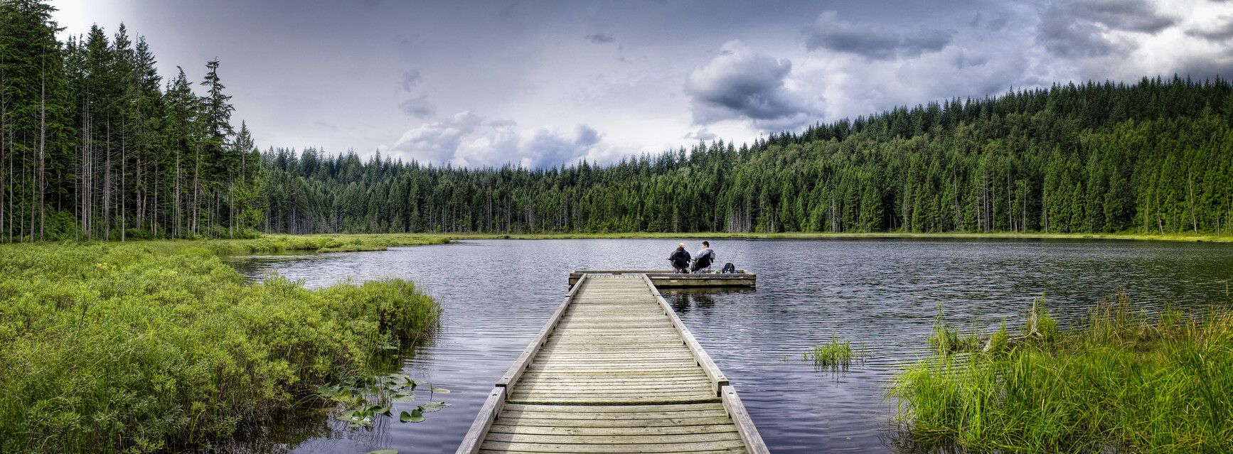
© BC Parks Golden Ears Groupsite
— · BC Park · 435 sites65GreatPavedhas photoscuratedwaterlakelots to dodrive (one-way)374 kmdrive time4h 49mround-trip$147.9289.7 LThFrSa25°/11° · looking greatPotable waterPit toiletHikingSwimmingBoat launch+413 km· Esso13 km· Stave Falls4 km· Alouette Lake45 km· Pitt River Hot Spring14 km· Reservoir Trail TrailheadMixed (some reservable)Source ↗Golden Gate/X̱áat Yádi Aani Conservancy was established as a result of the Wóoshtin Wudidaa Atlin Taku Land Use Plan and Taku River Tlingit First Nation Strategic Engagement Agreement. The conservancy is a high value Tlingit landscape that includes important cultural and recreational features in the islands, bays and shoreline at the junction of Tagish Lake and Graham Inlet. The Tlingit name (X̱áat Yádi Aani) refers to a village located close to the place where humpback whitefish congregated. The conservancy is located approximately 35 kilometres northwest from Atlin in the asserted traditional territory of the Taku River Tlingit and Carcross/Tagish First Nations.© BC Parks Golden Ears Backcountry
— · BC Park · 435 sites65GreatPavedhas photoscuratedwaterlakelots to dodrive (one-way)405 kmdrive time8h 57mround-trip$160.4297.2 LThFrSa24°/11° · looking greatHikingSwimmingBoat launchFishingBiking+431 km· Petro-Canada31 km· Stave Falls7 km· Judicator Lake29 km· Pitt River Hot SpringMixed (some reservable)Source ↗Golden Gate/X̱áat Yádi Aani Conservancy was established as a result of the Wóoshtin Wudidaa Atlin Taku Land Use Plan and Taku River Tlingit First Nation Strategic Engagement Agreement. The conservancy is a high value Tlingit landscape that includes important cultural and recreational features in the islands, bays and shoreline at the junction of Tagish Lake and Graham Inlet. The Tlingit name (X̱áat Yádi Aani) refers to a village located close to the place where humpback whitefish congregated. The conservancy is located approximately 35 kilometres northwest from Atlin in the asserted traditional territory of the Taku River Tlingit and Carcross/Tagish First Nations.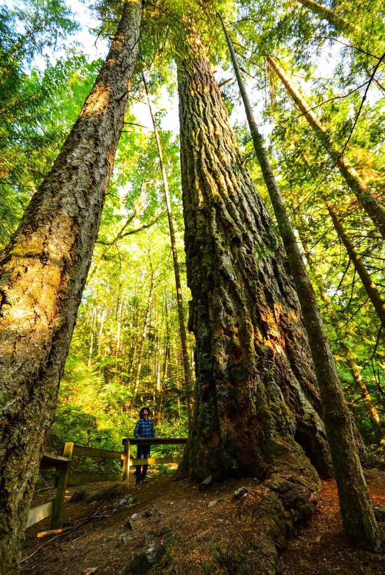
© BC Parks Cultus Lake Provincial Park
— · BC Park · 298 sites65GreatPavedhas photoscuratedwaterlakelots to dodrive (one-way)305 kmdrive time3h 45mround-trip$120.7073.2 LThFrSa23°/9° · looking greatHikingSwimmingFishingBoat launchBiking+43 km· Esso2 km· Cultus Lake1 km· Cultus Lake32 km· Harrison Hot Springs1 km· Teapot Hill TrailheadMixed (some reservable)Source ↗As one of the most popular destination areas in the Lower Mainland, Cultus Lake Park is characterized by a large, warm freshwater lake and scenic forest-clad mountains. The park is almost evenly divided between the northwest and southeast sides of Cultus Lake. The northwest portion is mostly undeveloped with the visitor-oriented facilities confined to the southeast portion. Just an hour and a half drive away from Vancouver, Cultus Lake Park has four campgrounds, a large day-use area for picnicking and boating, and ample opportunity for fishing, water skiing, wind surfing, and hiking. The park is near the small community of Cultus Lake. This community offers waterslides, two golf courses, bumper boats, go-karts, as well as canoe, boat, and jet ski rentals. There is also a marina, miniatu…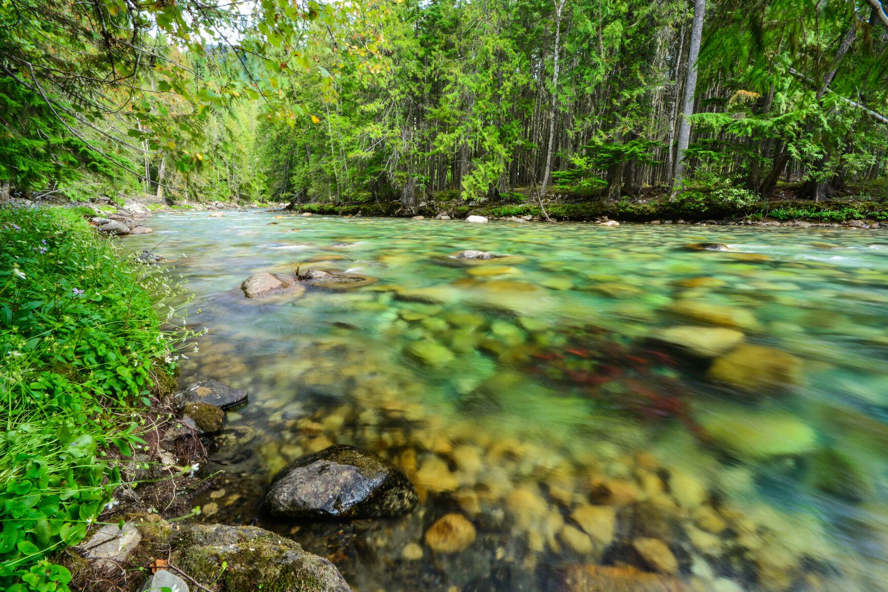
© BC Parks Rosebery Provincial Park
— · BC Park · 35 sites65GreatPavedhas photoscuratedgood sizewaterlakedrive (one-way)281 kmdrive time4h 33mround-trip$111.2667.4 LThFrSa30°/12° · looking greatBikingPit toiletPotable waterFirepitLake5 km1 km· Rosebery59 km· Halfway Hot SpringsNearby attractions (3)- Dennis Creek Basin7.6 km
- Idaho Fire Lookout10.1 km
- Shannon Lake13.2 km
Mixed (some reservable)Source ↗Just for camping, Rosebery Park is located just north of New Denver, on Highway 6. To the west, across Slocan Lake, is the magnificent Valhalla Park . Tucked along the banks of Wilson Creek, this park has an intimate, forested creek setting that offers secluded camping for overnight travelers or visitors seeking more adventure. It is a good staging area for backcountry exploration of nearby Valhalla , Kokanee Glacier and Goat Range Parks. Visitors can also explore the numerous ghost-mining towns nearby and after an exciting day, relax in the many commercial or undeveloped natural hot springs in the area.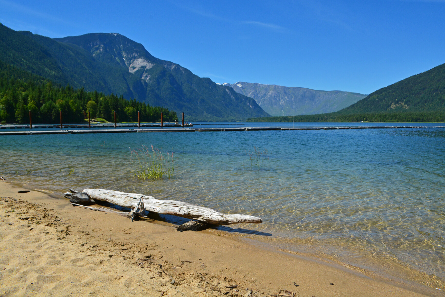
© BC Parks McDonald Creek Provincial Campground
— · BC Park · 112 sites65GreatPavedhas photoscuratedwaterlakelots to dodrive (one-way)228 kmdrive time3h 44mround-trip$90.2754.7 LThFrSa34°/13° · looking greatBoat launchHikingSwimmingFishingBiking+411 km· Carson's Corner10 km· East Arrow Park41 km· Halfway Hot SpringsNearby attractions (1)Nearby MTB (1)- Arrow Slocan~24 km
Mixed (some reservable)Source ↗Situated just south of Nakusp, McDonald Creek Park is one of a system of four provincial parks on the Arrow Lake reservoir. With facilities on the eastern shoreline, it is a holiday destination for swimming, boating, jetskiing, waterskiing and fishing opportunities. It features several kilometres of fine sandy beach, waterfront sites and open grassy meadows. You can always find a quiet spot for yourself, try some beachcombing, or join in the fun at the main swimming area. A boat launch is available, offering good fishing opportunities for kokanee, bull and rainbow trout. The Arrow Reservoir bisects McDonald Creek Park and protects lakeshore riparian habitat on the east side and forested upland habitat on the west side. This combination offers outdoor recreational opportunities in a uniq…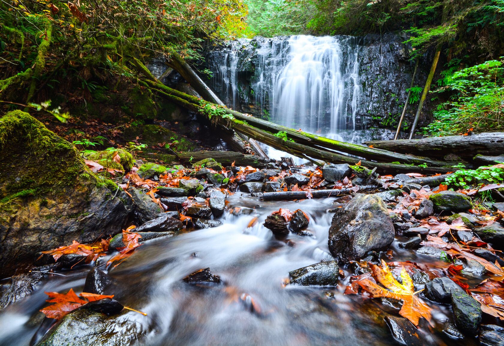
© BC Parks Sasquatch Provincial Park
— · BC Park · 178 sites65GreatPavedhas photoscuratedwaterlakelots to dodrive (one-way)289 kmdrive time3h 43mround-trip$114.5269.4 LThFrSa26°/11° · looking greatHikingBoat launchFishingSwimmingBiking+47 km· Husky7 km· Harrison Hot Springs1 km· Trout Lake7 km· Harrison Hot SpringsNearby attractions (1)- Harrison Recreation Site8.5 km
Mixed (some reservable)Source ↗Located north of Harrison Hot Springs, Sasquatch Park is characterized by a series of pocket lakes, a unique second-growth and birch forest, and scenic mountain ridges. Hicks Lake and Deer Lake are ideal for motorboating and canoeing, while Trout Lake provides a tranquil fishing experience. Visitors can also enjoy camping, hiking, wildlife viewing, and picnicking.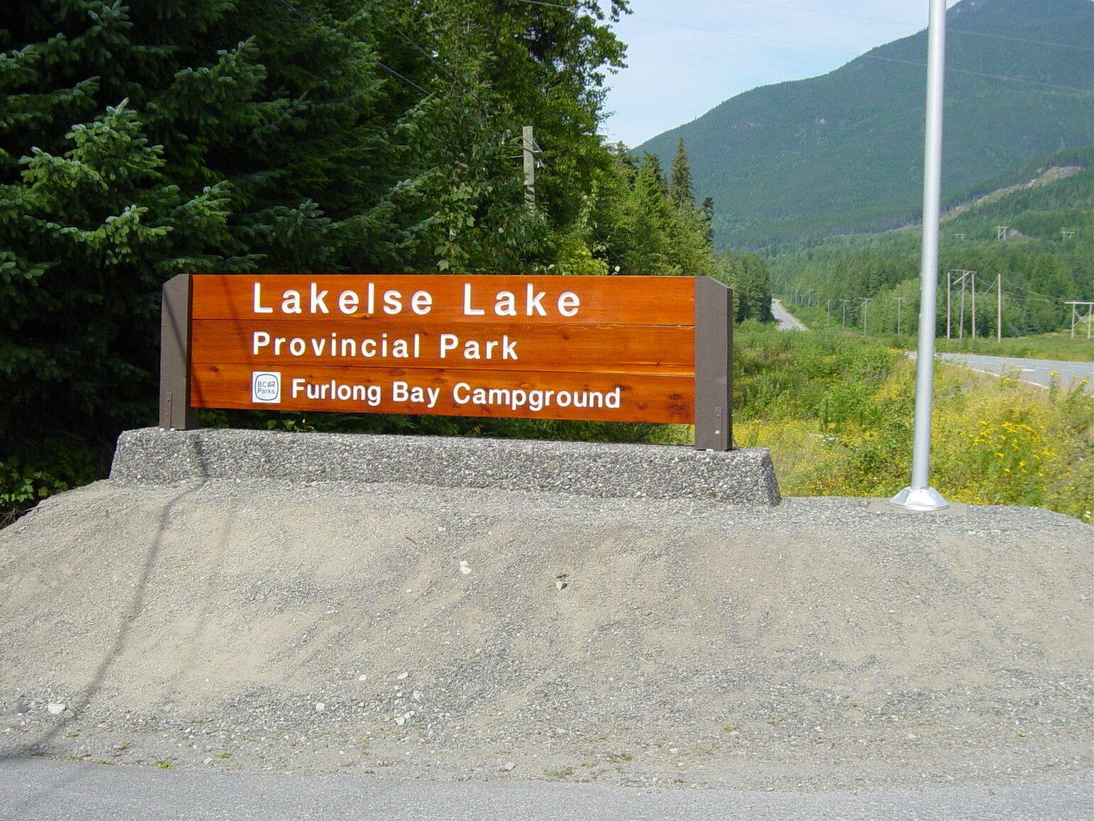
© BC Parks Lakelse Lake Provincial Park
— · BC Park · 165 sites65GreatPavedhas photoscuratedwaterlakelots to dodrive (one-way)1268 kmdrive time16h 59mround-trip$502.08304.3 LThFrSa21°/9° · mixedHikingSwimmingFishingBoat launchBiking+411 km· Petro-Canada5 km· Lakelse4 km· Lakelse Lake6 kmNearby attractions (2)- Clearwater Lakes Trail11.1 km
- Onion Lake Ski Trails Stadium12.6 km
Nearby MTB (1)- Terrace~12 km
Mixed (some reservable)Source ↗Lakelse Lake Park comprises three separately accessible areas, Furlong Bay Campground, Lakelse Picnic Site, and Gruchy's Beach. All three sections have sandy beach access to Lakelse Lake, a very beautiful lake complimented by the Kitimat Mountain Range in the background. Activities most enjoyed in the park include hiking, canoeing, boating, windsurfing, swimming, fishing, camping and sightseeing. Furlong Bay Campground is the main part of the Lakelse Lake Provincial Park. It includes lakefront day-use facilities, a covered picnic shelter, amphitheatre, Visitor Centre and ice cream stand. Kayaks and standup board rentals are available during the open season. The Lakelse Picnic Site family beach and covered area are located north of Furlong Bay and open year round. The reservable groupsit…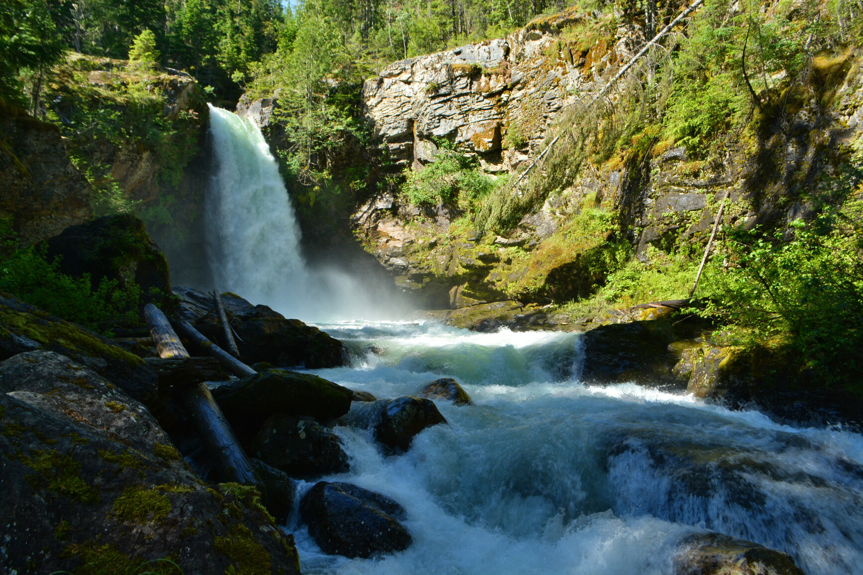
© BC Parks Blanket Creek Provincial Park
— · BC Park · 105 sites65GreatPavedhas photoscuratedwaterlakelots to dodrive (one-way)220 kmdrive time3h 19mround-trip$87.0352.7 LThFrSa36°/15° · looking greatHikingBoat launchSwimmingFishingBiking+420 km· Petro-Canada19 km· Arrowhead42 km· Halfway Hot Springs13 km· Bagbie FallsNearby attractions (1)- Shaketown9.8 km
Nearby MTB (3)- Sol Mountain~2 km
- Revelstoke Mountain Resort~15 km
- Revelstoke~19 km
Mixed (some reservable)Source ↗Looking for a family holiday destination? Plan your next weekend to Blanket Creek Park just south of Revelstoke. Popular with local residents, this park was originally a farm now developed to provide recreational opportunities. It is one of a system of four provincial parks on the Arrow Lake Reservoir. With its warm man-made swimming lagoon, adventure playground, historic homestead site and easy access to scenic Sutherland Falls, this park offers enjoyment for the entire family. Blanket Creek Park makes a great staging area for other recreational explorations. Mount Revelstoke and Glacier National Parks both close by, offer hiking trails for all skill levels. Travel south, take a ferry ride and discover Nakusp Hot Springs. The variety of opportunities both in and around this park beckon…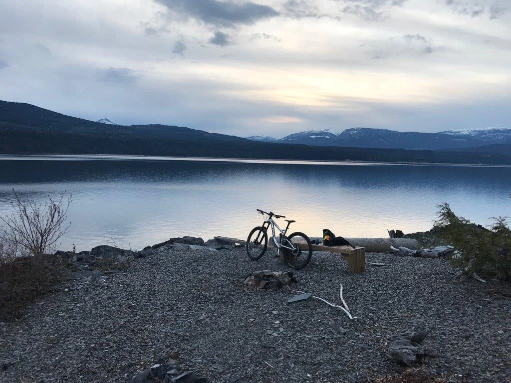
© Recreation Sites and Trails BC Mt Abriel
Nakusp · Rec Site · 48 sites65GreatGravelhas photoscuratedgood sizelakeMTB trailsdrive (one-way)251 kmdrive time4h 5mround-trip$99.5360.3 LThFrSa34°/13° · looking greatMTB trailsBikingHikingLakeSwimming9 km· Canco9 km· Glenbank10 km· Cameron Lake21 km· Halfway Hot SpringsFirst-come, first-servedSource ↗All recreation sites in the Kootenay Boundary district are first come first serve, there are NO reservation systems in place. FEE COLLECTION BEGINS APRIL 1ST. A recently developed (with upgrades in 2021) campsite on the shores on Upper Arrow lake just North of Nakusp BC. There are 48 campsites available for tent and trailer camping. There is some beach access and a day use area. The campsite is connected to a network of adaptive and regular mountain biking trails. The campsite and trail network is managed by the Nakusp and Area Bike Society. CAMPING FEES IN EFFECT STARTING SUMMER 2019. A si…© BC Parks McDonald Creek Provincial Park
— · BC Park · 112 sites65GreatPavedhas photoscuratedwaterlakelots to dodrive (one-way)229 kmdrive time3h 47mround-trip$90.5754.9 LThFrSa34°/13° · looking greatHikingBoat launchSwimmingFishingBiking+410 km· Carson's Corner10 km· East Arrow Park10 km· Box Lake40 km· Halfway Hot SpringsNearby attractions (1)Nearby MTB (1)- Arrow Slocan~25 km
Mixed (some reservable)Source ↗Situated just south of Nakusp, McDonald Creek Park is one of a system of four provincial parks on the Arrow Lake reservoir. With facilities on the eastern shoreline, it is a holiday destination for swimming, boating, jetskiing, waterskiing and fishing opportunities. It features several kilometres of fine sandy beach, waterfront sites and open grassy meadows. You can always find a quiet spot for yourself, try some beachcombing, or join in the fun at the main swimming area. A boat launch is available, offering good fishing opportunities for kokanee, bull and rainbow trout. The Arrow Reservoir bisects McDonald Creek Park and protects lakeshore riparian habitat on the east side and forested upland habitat on the west side. This combination offers outdoor recreational opportunities in a uniq…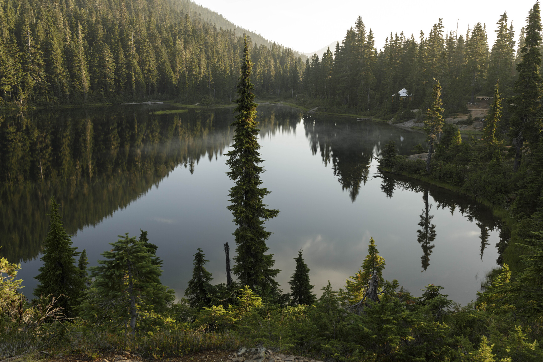
© Shayd Johnson / BC Parks Strathcona Backcountry
— · BC Park · 160 sites65GreatPavedhas photoscuratedwaterlakelots to dodrive (one-way)818 kmdrive time12h 7mround-trip$324.02196.4 LThFrSa22°/5° · looking greatHikingFishingSwimmingBikingBoat launch+428 km· Shell28 km· Gold River2 km· Carter Lake51 km· Hot Springs12 km· Marble Meadows TrailheadMixed (some reservable)Source ↗Strathcona Park, designated in 1911, is the oldest park in British Columbia. Located almost in the centre of Vancouver Island, Strathcona Park is a rugged mountain wilderness comprising of more than 250,000 hectares. Mountain peaks, some perpetually mantled with snow, dominate the park. Lakes and alpine tarns dot a landscape laced with rivers, creeks, and streams. Summer in Strathcona is usually pleasantly warm, while winters are fairly mild except for the higher levels, where heavy snowfalls are the norm. From November through March, snowfalls can be expected on the mountain slopes and alpine plateaus. Snow remains all year on the mountain peaks and may linger into July even at moderate elevations. Summer evenings can be cool and rain can be expected at any time of the year. Two areas,…© BC Parks Golden Ears Provincial Park
— · BC Park · 435 sites65GreatPavedhas photoscuratedwaterlakelots to dodrive (one-way)405 kmdrive time8h 57mround-trip$160.4297.2 LThFrSa24°/11° · looking greatHikingSwimmingBoat launchFishingBiking+431 km· Petro-Canada31 km· Stave Falls7 km· Judicator Lake29 km· Pitt River Hot SpringMixed (some reservable)Source ↗Golden Ears Park is one of B.C.’s largest parks and one of the province’s most popular camping destinations. With recreation opportunities just over an hour east of Vancouver, the park draws visitors from across the Lower Mainland, and beyond. The park offers these visitors three large campgrounds and an extensive system of hiking and horseback-riding trails. Alouette Lake, meanwhile, is a popular spot for swimming, windsurfing, water-skiing, canoeing, boating, and fishing. The landscape of Golden Ears Park offers an excellent example of B.C.’s coastal western hemlock forest. The park’s extensive backcountry is mountainous and extremely rugged. Brochures Golden Ears Park information guide (for reading on your computer or phone) [PDF] Golden Ears Park information guide (for printing) [PDF]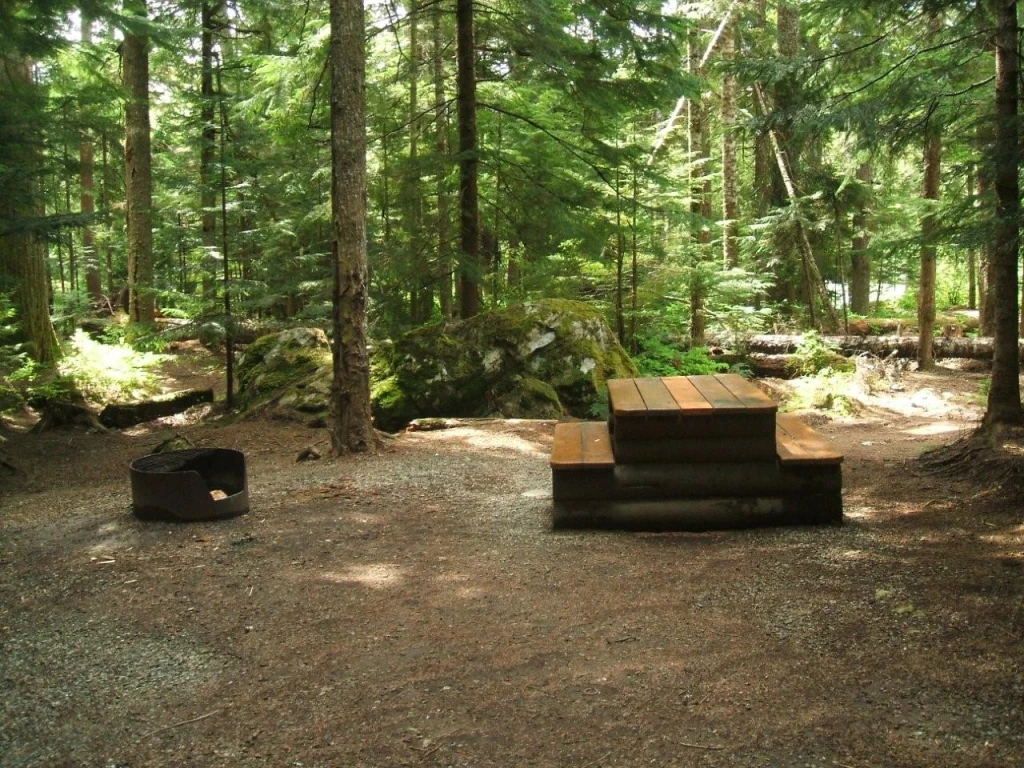
© Recreation Sites and Trails BC Cal-cheak
Whistler · Rec Site · 63 sites65GreatGravelhas photoscuratedlakeMTB trailslots to dodrive (one-way)497 kmdrive time6h 23mround-trip$196.88119.3 LThFrSa20°/6° · looking greatBoat launchMTB trailsBikingHikingPit toilet+18 km· Co-op12 km· Whistler Village3 km· West Jane Lake50 km· Pitt River Hot Spring6 km· Lower Brandywine Meadows TrailheadNearby attractions (2)- Whistler Interpretive Forest5.2 km
- Alexander Falls7.9 km
Nearby MTB (2)- Whistler Mountain Bike Park~12 km
- Whistler~12 km
First-come, first-servedSource ↗Cal-cheak is a first come first served campsite, no reservation system exists. A campsite fee of $18 is charged from May 1st to October 31st annually. There are 63 campsites to chose from in 4 separate areas between Callaghan Creek and Cheakamus River. Many sites are large enough for RV's, but no power or sewage services on site.<BR><BR> This site is heavily treed, provides lots of shade in the hot summer. Wheelchair accessible toilet in the first area. Please self register and pay the camping fees using the yellow collection box. A site operator will be by periodically to check the sites. …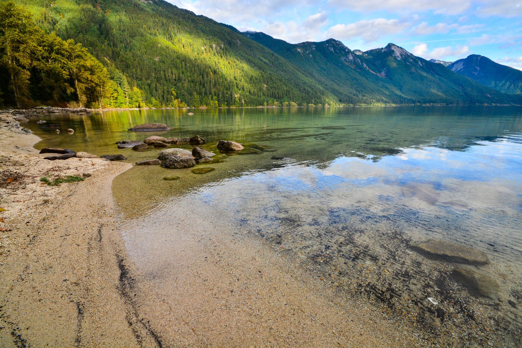
© BC Parks Sx̱ótsaqel / Chilliwack Lake Park
— · BC Park · 182 sites65GreatPavedhas photoscuratedwaterlakelots to dodrive (one-way)340 kmdrive time4h 22mround-trip$134.4581.5 LThFrSa18°/3° · looking greatHikingBoat launchSwimmingFishingBiking+426 km· Shell26 km· Bridal Falls3 km· Radium Lake37 km· Harrison Hot Springs4 km· Radium Lake TrailheadMixed (some reservable)Source ↗Located 150 km east of Vancouver in the upper Chilliwack River Valley, S⨱ótsaqel / Chilliwack Lake Park is characterized by a valley-bottom lake, old-growth forested slopes, and spectacular subalpine and alpine ridges. The sparkling Chilliwack Lake is ideal for motorboating, canoeing, kayaking, swimming, or fishing. There are opportunities for hiking, bird and wildlife viewing, and nature appreciation on the 40 km of trails in the park. The park also has a playground and 182 frontcountry campsites. Those seeking a wilderness camping experience can access the backcountry camps located at Greendrop, Lindeman, Flora, and Radium Lakes.© Shayd Johnson / BC Parks Strathcona Provincial Park
Vancouver Island · BC Park · 160 sites65GreatPavedhas photoscuratedwaterlakelots to dodrive (one-way)799 kmdrive time11h 44mround-trip$316.29191.7 LThFrSa18°/2° · looking greatLakeHikingSwimmingBoat launchFishing+434 km· Shell34 km· Gold River4 km· Marsh Marigold Lake57 km· Hot Springs5 km· Marble Meadows TrailheadMixed (some reservable)Source ↗Strathcona Park, designated in 1911, is the oldest park in British Columbia. Located almost in the centre of Vancouver Island, Strathcona Park is a rugged mountain wilderness comprising of more than 250,000 hectares. Mountain peaks, some perpetually mantled with snow, dominate the park. Lakes and alpine tarns dot a landscape laced with rivers, creeks, and streams. Summer in Strathcona is usually pleasantly warm, while winters are fairly mild except for the higher levels, where heavy snowfalls are the norm. From November through March, snowfalls can be expected on the mountain slopes and alpine plateaus. Snow remains all year on the mountain peaks and may linger into July even at moderate elevations. Summer evenings can be cool and rain can be expected at any time of the year. Two areas,…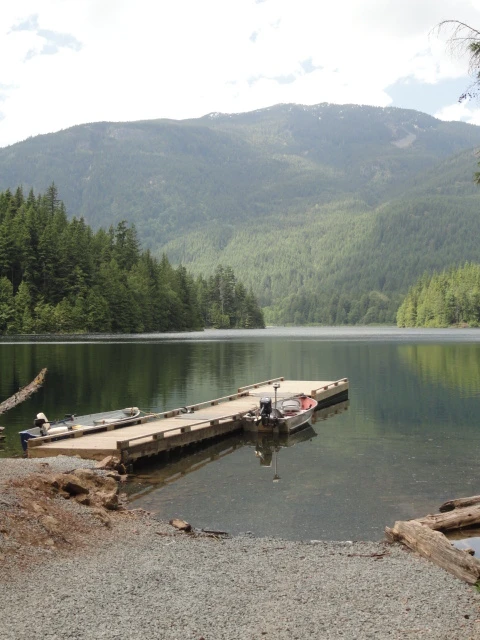
© Recreation Sites and Trails BC Weaver Lake
West Harrison · Rec Site · 38 sites64Great4x4 onlyhas photoscuratedgood sizelakelots to dodrive (one-way)313 kmdrive time4h 42mround-trip$124.0775.2 LThFrSa26°/11° · looking greatBoat launchHikingLakeFishingPit toilet7 km· Fas Gas6 km· Sts'a'í:les / Sts'ailes1 km· Francis Lake7 km· Harrison Hot SpringsNearby attractions (1)- Harrison Recreation Site10.2 km
First-come, first-servedSource ↗Weaver Lake Rec Site has implemented a $10 Visitor Fee. The Visitor Fee must be paid in CASH and will apply to ANY vehicle on the Weaver Lake Rec Site for a MAX 4 Hour visit per vehicle (excluding paid overnight campers). The gate will be closed when the day use area is full and there will be no access for additional vehicles. This site is a medium sized campsite on a stocked fishing lake. This site is popular with anglers and families. A boat launch is available along with a dock for use by boaters with small boats with a maximum of 7.5 kw or 10 hp motor restriction. South Weaver Group sit…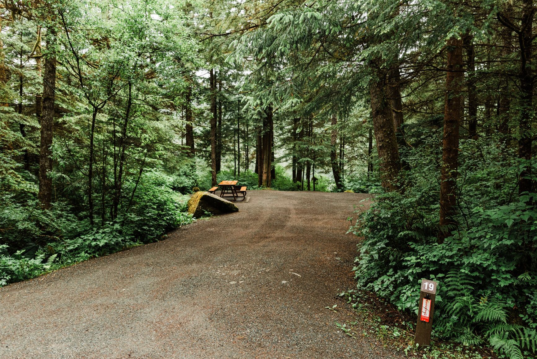
© BC Parks Prudhomme Lake Provincial Park
— · BC Park · 24 sites64GreatPavedhas photosgood sizewaterlakelots to dodrive (one-way)1378 kmdrive time18h 15mround-trip$545.76330.8 LThFrSa18°/10° · mostly wetBoat launchFishingSwimmingPit toiletPotable water+212 km· Petro-Canada8 km· Caspaco17 km3 km· Diana Creek TrailMixed (some reservable)Source ↗Prudhomme Lake Park is a small, forested lakefront campground only a short distance east of Prince Rupert. Nearby Diana Lake Park provides opportunities for a variety of day-use activities.Desous Mountain
Williams Lake · Rec Site · 8 sites63GreatGravelcuratedgood sizelakeMTB trailslots to dodrive (one-way)469 kmdrive time6h 35mround-trip$185.71112.6 LThFrSa27°/8° · looking greatHikingMTB trailsBikingPit toiletLake+115 km· Husky5 km· Springhouse58 km· Canoe Creek Warm SpringNearby MTB (1)- Williams Lake~18 km
First-come, first-servedSource ↗Desous Mountain is a popular mountain biking area located 30 minutes south of Williams Lake. The site has room for parking, a toilet and change room building, and provides 8 camping sites with tables and fire rings.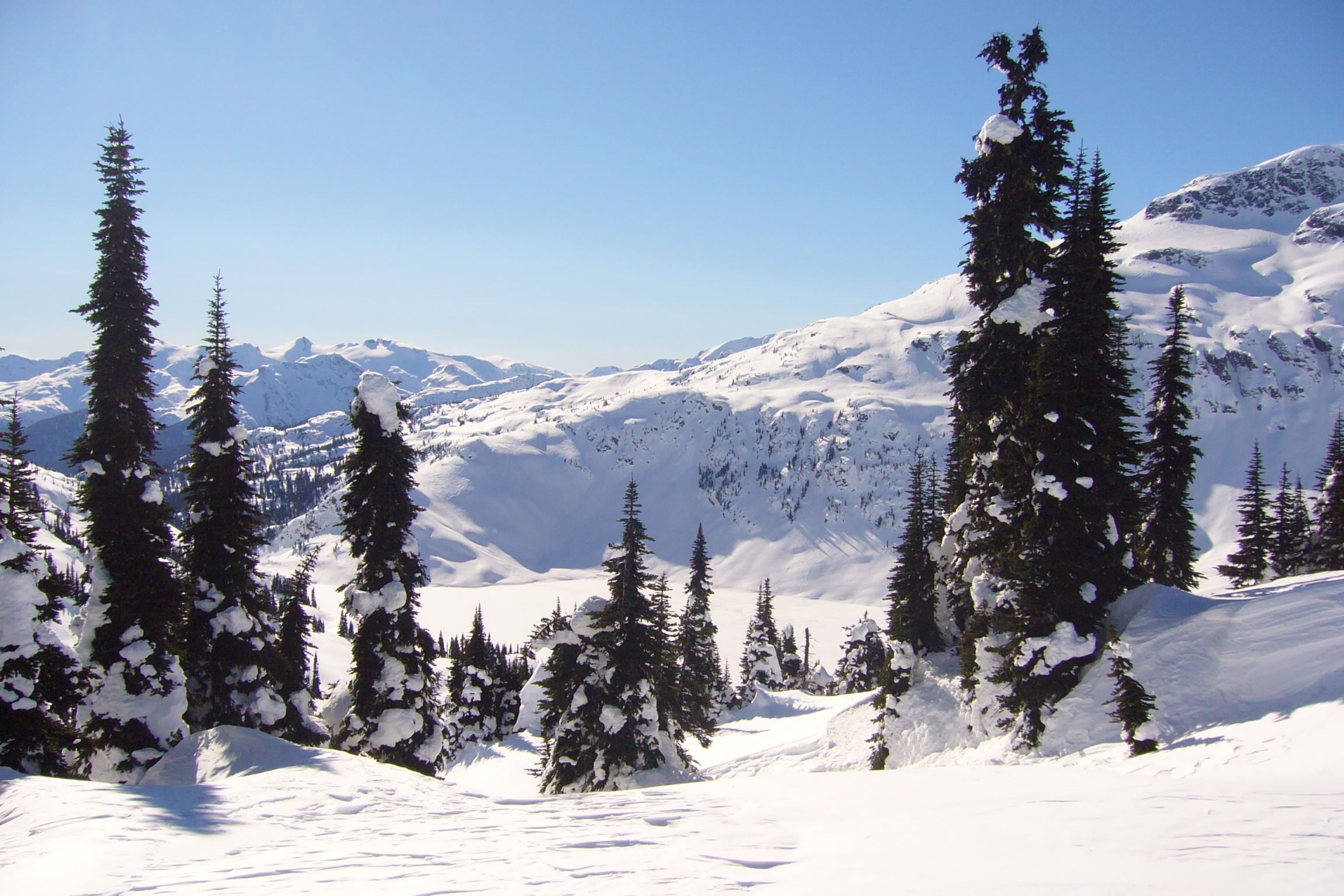
© BC Parks Callaghan Lake
— · BC Park · 6 sites63GreatPavedhas photoscuratedgood sizelakelots to dodrive (one-way)514 kmdrive time6h 59mround-trip$203.69123.4 LThFrSa18°/3° · looking greatLakeHikingBoat launchFishingPit toilet+117 km· Chevron18 km· Whistler2 km· Telemagique Lake47 km· Meager Creek Hot Spring5 km· Rainbow Madeley TrailNearby attractions (1)- Alexander Falls7.7 km
Nearby MTB (3)- Whistler~18 km
- Whistler Mountain Bike Park~19 km
- Flow State Guiding Heli Biking~30 km
First-come, first-servedSource ↗Callaghan Lake Park is within the Coast Mountain Range in British Columbia’s Sea to Sky region. It is an area of exceptional natural beauty with year-round recreational opportunities that draw visitors from near and far. In summer, a rough forest road offers access to rustic frontcountry camping and a variety of hiking opportunities. Other popular summer activities in this park include canoeing and fishing . The area is home to Whistler Olympic Park and is a popular destination for all sorts of winter recreation . Callaghan Lake Park offers opportunities for snowshoeing, cross-country skiing, telemark, and alpine ski touring. In addition to Callaghan Lake itself, the park has abundant wetlands and small lakes. These are concentrated in the park’s southern and eastern areas and in the up…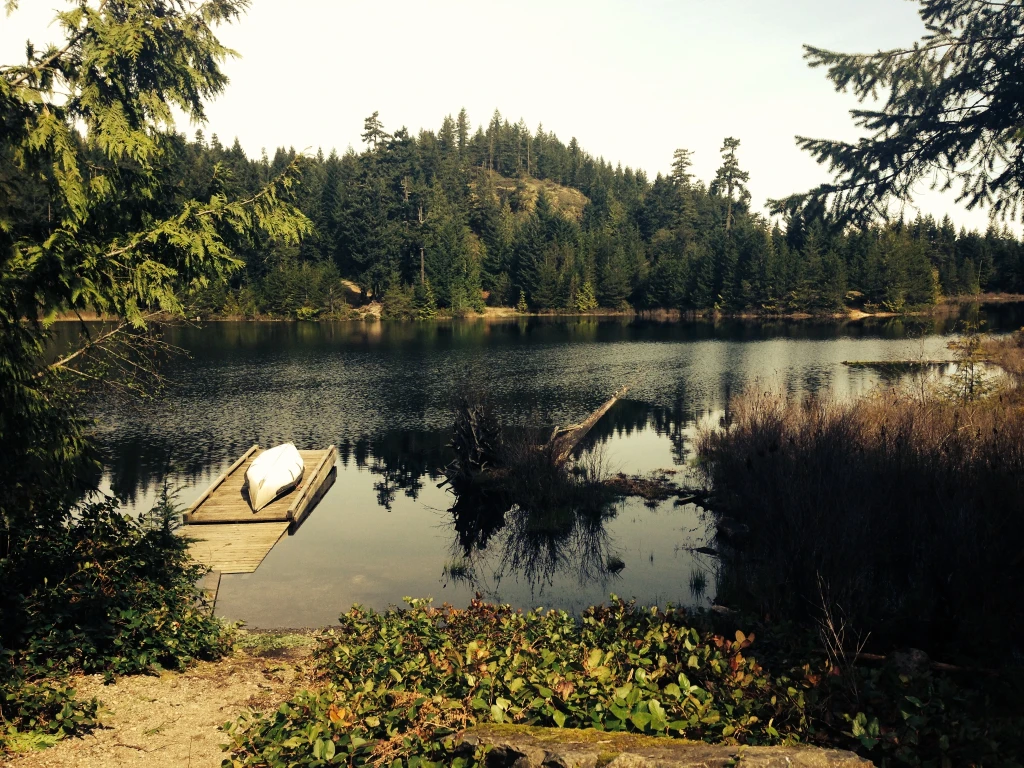
© Recreation Sites and Trails BC Wood Lake
West Harrison · Rec Site · 35 sites62GreatGravelhas photoscuratedgood sizelakelots to dodrive (one-way)321 kmdrive time4h 40mround-trip$126.9676.9 LThFrSa27°/10° · looking greatBoat launchSwimmingLakeFishingHiking+118 km· Fas Gas18 km· Sts'a'í:les / Sts'ailes3 km· Barnet Lake18 km· Harrison Hot SpringsFirst-come, first-servedSource ↗A large semi-open site with three separated camping areas, one on each side of the lake, and one tucked behind the south end sites. Wood Lake is a great fishing lake, however no power boats are allowed. <BR><BR>The campsites are available on a first-come, first-served basis, however up to 60% are available for reservations. Reservations will not be taken further than 30 days in advance. For complete reservation, payment and site information visit <a href="http://www.westharrisonreservations.com" target="_blank">www.westharrisonreservations.com</a> for more information. This is a CASH ONLY s…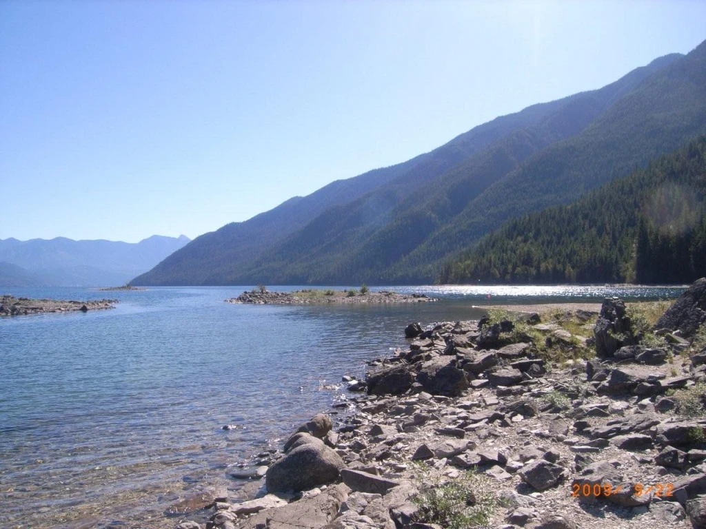
© Recreation Sites and Trails BC Wragge Beach
New Denver · Rec Site · 35 sites62GreatGravelhas photoscuratedgood sizelakelots to dodrive (one-way)282 kmdrive time4h 58mround-trip$111.5667.6 LThFrSa30°/12° · looking greatHikingBoat launchFishingPit toiletLake+19 km4 km· Rosebery9 km· Shannon Lake56 km· Halfway Hot SpringsNearby attractions (3)- Shannon Lake9.3 km
- Dennis Creek Basin10.6 km
- Valhalla Hills Nordic11.4 km
First-come, first-servedSource ↗All recreation sites in the Kootenay Boundary district are first come first serve, there are NO reservation systems in place. Site expansion completed fall of 2019. The site now has 28 vehicle campsites and 7 tent sites. Wragge Beach is one of the prettiest beaches on Slocan Lake. The spacious campsites along the lake shore are shaded by trees. A wide beach curves gently for several hundred meters in both directions, inviting beach walking. A rocky outcrop extends out into the lake, making a scenic shoreline. This site is a popular destination campsite for vacationing families. The lake off…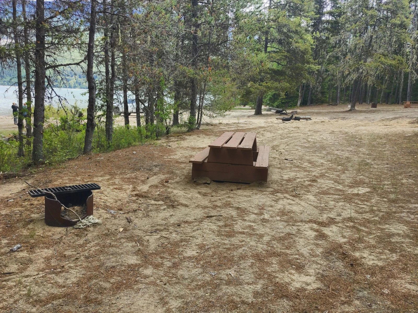
© Recreation Sites and Trails BC Hart Farm
Terrace · Rec Site · 17 sites62GreatGravelhas photoscuratedgood sizelakelots to dodrive (one-way)1288 kmdrive time18h 2mround-trip$509.87309.0 LThFrSa17°/8° · 1 wet daySwimmingBoat launchHikingFishingPit toilet+124 km13 km· Rosswood44 kmNearby attractions (2)- Red Sand Operations Trail1.3 km
- Kalum Lake Boat Launch7.5 km
Nearby MTB (1)- Terrace~27 km
First-come, first-servedSource ↗A large semi-open site on Kalum Lake, located in the Redsand Demonstration Forest. Features a sandy beach, good boating and fishing opportunities. 7 kms of easy walking and cycling trails adjacent to the site. During spring melt or heavy rains the West Kalum forest road may flood around the 25 km mark preventing entry or exit from Redsands and Hart Farm Recreation Sites. High water conditions may last for several weeks and prevent vehicles from leaving. Between Fall 2020 and Summer 2021 the road flooded 3 times! Do not camp during periods of high rainfall or melt. Monitor road conditions an…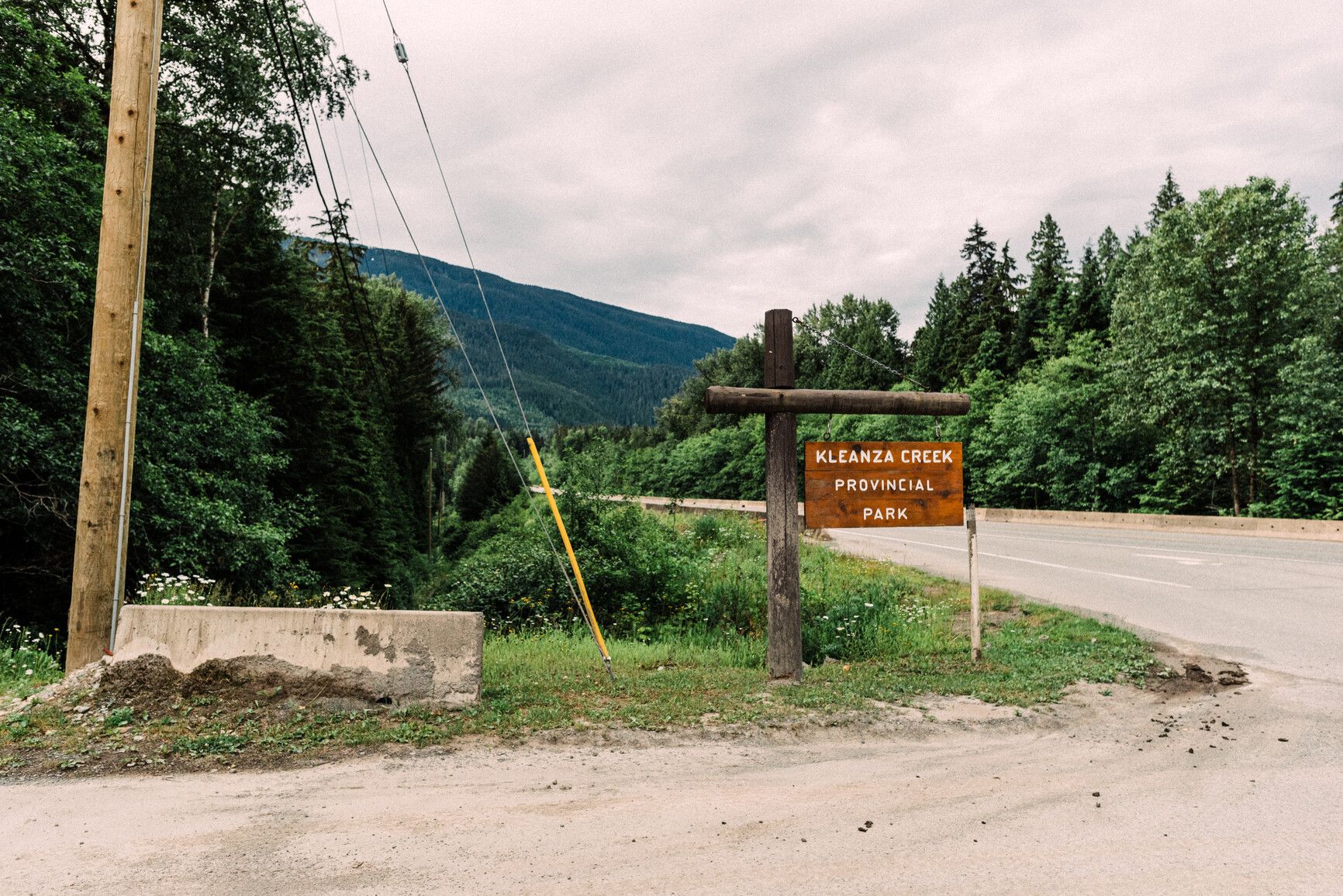
© BC Parks Kleanza Creek Provincial Park
— · BC Park · 34 sites61GreatPavedhas photoscuratedgood sizewaterlots to dodrive (one-way)1237 kmdrive time16h 34mround-trip$489.97297.0 LThFrSa21°/9° · mixedHikingBoat launchPit toiletPotable waterFirepit13 km· Chevron Commercial Cardlock1 km· Gitaus29 kmNearby MTB (1)- Terrace~16 km
Mixed (some reservable)Source ↗Kleanza Creek Park is located amongst the forests and rock canyons in the Coast Mountains. Occupying frontage on the Skeena River and on both sides of Kleanza Creek, the park is of historical significance. Kleanza means gold in the Gitxsan language and it was this metal that influenced the early history of the park site. Placer mining for gold was first carried out in the creek in the late 1890s.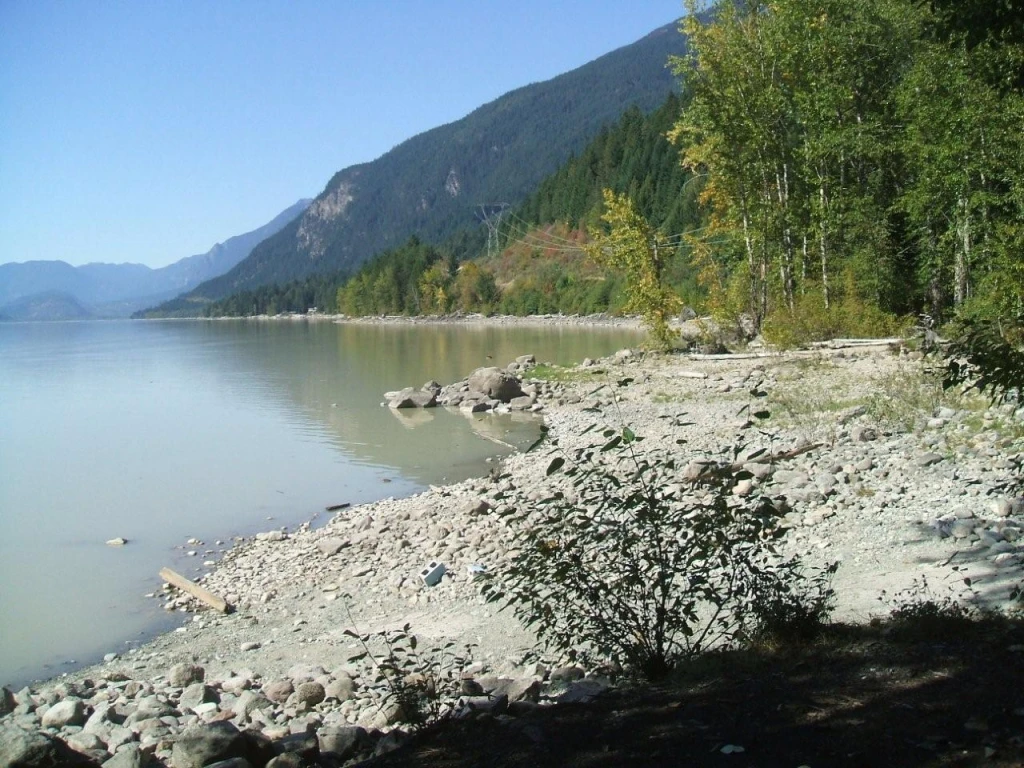
© Recreation Sites and Trails BC Twin One Creek
Lillooet Lake · Rec Site · 15 sites61GreatGravelhas photoscuratedgood sizelakelots to dodrive (one-way)381 kmdrive time6h 8mround-trip$151.0591.5 LThFrSa30°/14° · looking greatSwimmingPit toiletLakeBoat launchFirepit18 km· Chevron18 km· Líl̓wat / Mount Currie7 km· Moat Lake44 km· August Jacob's Hot Spring13 km· Joffre Lakes TrailNearby MTB (2)- Flow State Guiding Heli Biking~23 km
- Pemberton~23 km
First-come, first-servedSource ↗A mid sized campsite-somewhat open on the large jade coloured Lillooet lake, with 2 small grassy areas. Two or three sites can accommodate an RV. two entrances, the first one is steep, the second one is less steep. Small unimproved boat launch on site-beware when boating there is a lot of large woody debris in the lake. Twin One Creek nearby. Berry bushes on site-watch for bears. Tables, fire rings, garbage pick up and outhouses on site. <BR><BR> Please self register and pay the camping fees using the yellow collection box. A site operator will be by periodically to check the sites.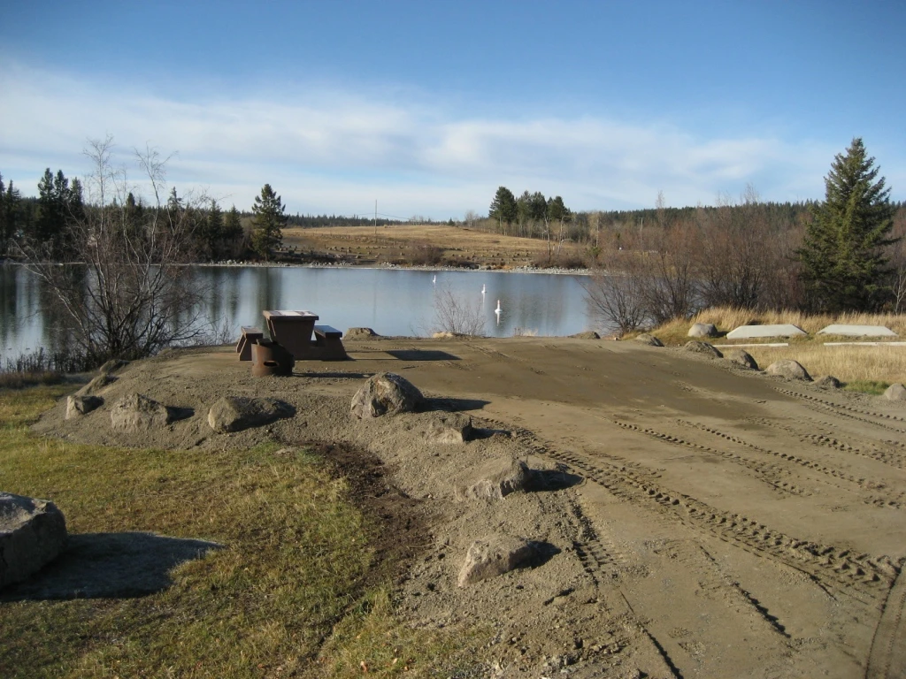
© Recreation Sites and Trails BC Chimney Lake North
Williams Lake · Rec Site · 25 sites60GreatGravelhas photoscuratedgood sizelakelots to dodrive (one-way)420 kmdrive time6h 17mround-trip$166.49100.9 LThFrSa26°/10° · looking greatSwimmingBoat launchLakeFishingPit toilet20 km· Husky11 km· Springhouse52 km· Canoe Creek Warm SpringNearby MTB (1)- Williams Lake~25 km
First-come, first-servedSource ↗Open grassland area with large designated campsites, large beach and day use area, great lake for swimming with a designated swimming area. People wishing to utilize the day use area are to park in the parking lot and not on the campsites. If you wish to utilize a camping area for day use, a camping permit is required.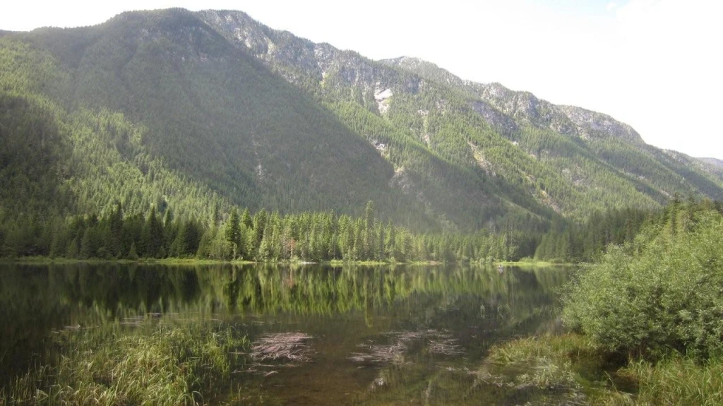
© Recreation Sites and Trails BC Beaver Lake
Nakusp · Rec Site · 7 sites60GreatGravelhas photoscuratedgood sizelakelots to dodrive (one-way)302 kmdrive time5h 28mround-trip$119.7272.6 LThFrSa24°/6° · looking greatFishingBoat launchLakePit toiletSwimming22 km9 km· Hills43 km· Halfway Hot SpringsNearby attractions (1)- Valhalla Hills Nordic7.9 km
First-come, first-servedSource ↗This beautiful lake is found in the narrow valley of Fitzstubbs Creek, backed by the 2300 m peaks of the Nakusp Range. It is popular with family groups, as it offers something for everyone. The level sites beneath trees are suitable for tents, campers or trailers. Long weekends find folks coming from far and wide to gather for reunions, do some fishing for Kokanee and rainbow trout, swim, bike ride, play bocce and horseshoes. For those who want to get away from the crowds, a small hidden lake joined to Beaver Lake by a narrow stream, is accessible by canoe. Canoeists will also find the inle…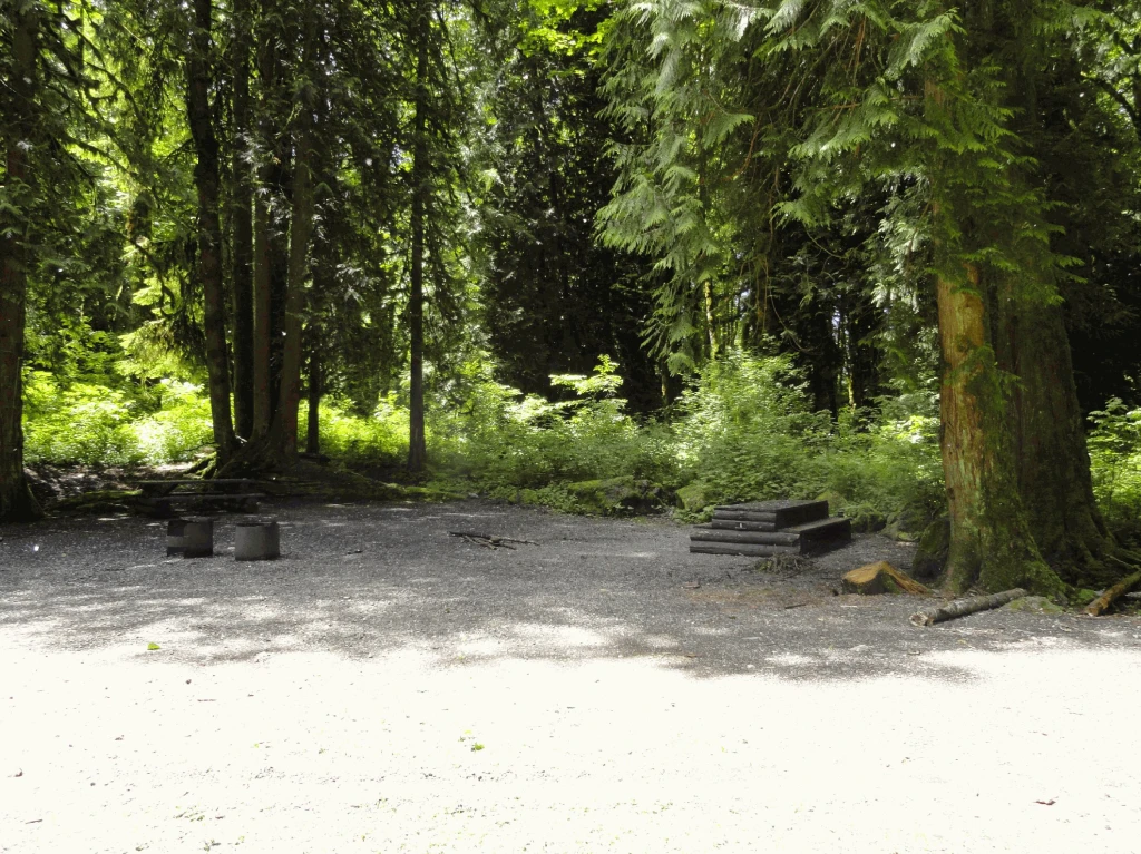
© Recreation Sites and Trails BC Allison Pool
Chilliwack · Rec Site · 7 sites60GreatGravelhas photoscuratedgood sizelakelots to dodrive (one-way)309 kmdrive time3h 48mround-trip$122.3174.1 LThFrSa22°/9° · looking greatBoat launchHikingFishingPit toiletLake10 km· Husky11 km· Th'ewá:lí / Soowahlie6 km· Ryder Lake25 km· Harrison Hot Springs11 km· Edmeston Road Gate | KM 10.0First-come, first-servedSource ↗A small site along the banks of the Chilliwack River; accessed off the Chilliwack Lake Road. This site is not suitable for large RVs due to the gravel road access. The site is popular with anglers and has access to the Trans Canada Trail. The site is designed as a group site and can be reserved during camping season. Payment for camping permits are Cash Only. For reservations, visit <a href="https://campchilliwackvalley.ca" target="_blank">https://campchilliwackvalley.ca</a>.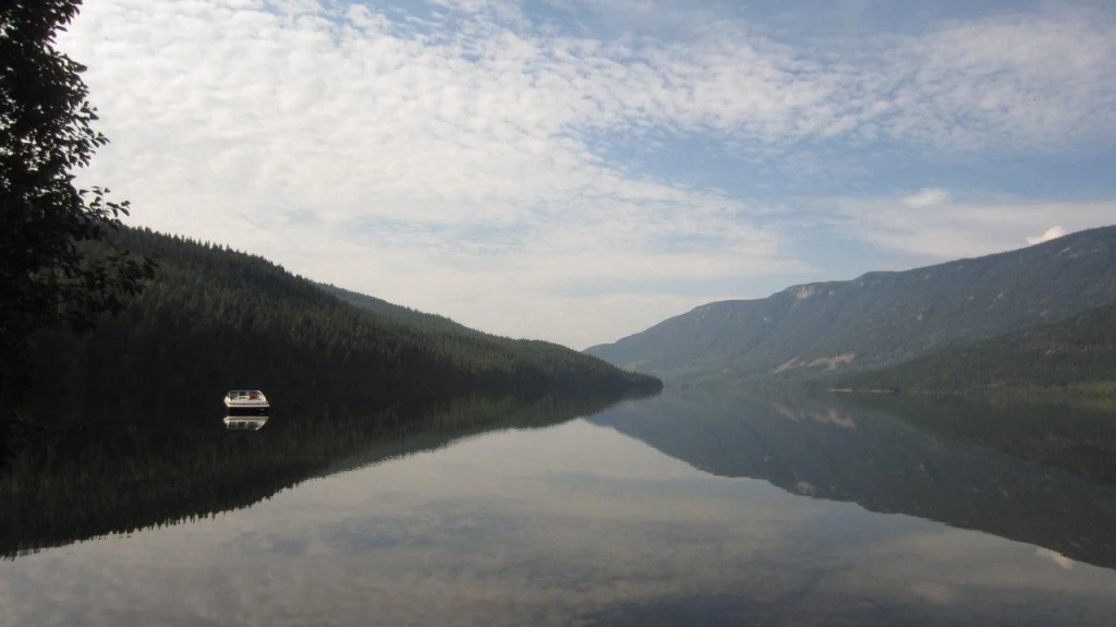
© Recreation Sites and Trails BC Richy
Nakusp · Rec Site · 5 sites60GreatGravelhas photoscuratedgood sizelakelots to dodrive (one-way)203 kmdrive time3h 51mround-trip$80.3148.7 LThFrSa27°/6° · looking greatBoat launchSwimmingFishingPit toiletLake17 km· Burton12 km· East Arrow Park53 km· Halfway Hot SpringsNearby MTB (1)- Arrow Slocan~25 km
First-come, first-servedSource ↗This shady site, near the north end of Whatshan Lake, is a good family site with opportunities for boating and fishing. The boat launch provides good access to the lake. Later in the season, the water of Whatshan Lake warms and is very pleasant swimming. There is a pea gravel and sand beach.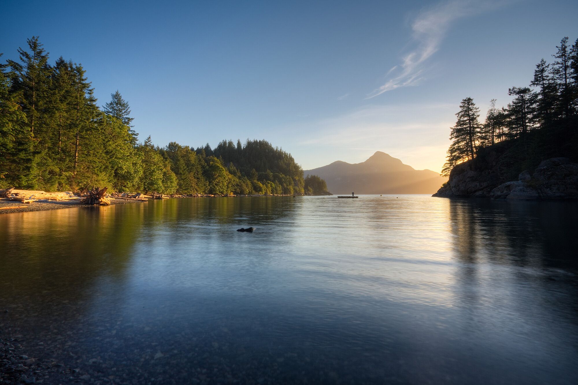
© BC Parks Porteau Cove Provincial Park
Sea-to-Sky · BC Park · 60 sites60GreatPavedhas photoscuratedwaterlots to doBC Parkdrive (one-way)433 kmdrive time5h 24mround-trip$171.40103.9 LThFrSa22°/16° · looking greatSwimmingPotable waterBikingHikingBoat launch+316 km· Squamish Valley Gas Bar1 km· Furry Creek3 km· Lost Lake40 km· Pitt River Hot Spring10 km· Lions TrailheadNearby MTB (3)- Squamish~16 km
- Grouse Bike Park~23 km
- North Shore~24 km
Mixed (some reservable)Source ↗Situated on the most southerly fjord in North America, Porteau Cove Provincial Park features waterfront campsites with a view over Howe Sound to the mountains beyond. An old ship has been sunk to provide interest for scuba divers and to attract marine life. There are special facilities for divers. Adjacent train tracks are active and occasional noise disturbance may occur. Take a virtual tour of Porteau Cove Park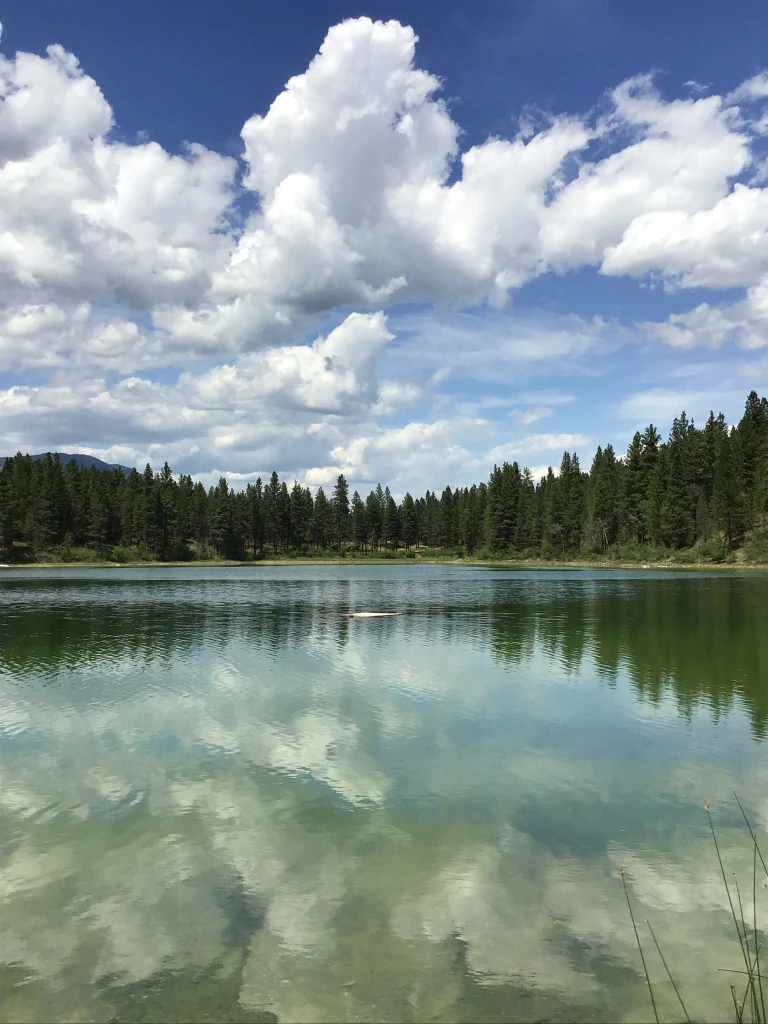
© Recreation Sites and Trails BC Johnson Lake
Canal Flats · Rec Site · 5 sites60GreatGravelhas photoscuratedgood sizelakelots to dodrive (one-way)533 kmdrive time7h 42mround-trip$211.16128.0 LThFrSa36°/13° · looking greatBoat launchSwimmingLakeFishingPit toilet18 km· Wasa Lake Gas & Food5 km· Skookumchuck26 km· Wildhorse Warm SpringsFirst-come, first-servedSource ↗Two campsite areas are located on the north and south shores of Johnson Lake. The campsites are set in an open Ponderosa Pine and bunchgrass landscape. The north site is accessed by skirting the gravel pit along its south and west boundary. The lake edge here is marshy. The south site is more popular with its small sandy beach and picnic day use area and is accessible taking the left fork in the road at the gravel pit. There is a short steep pitch trailers should approach with caution at this site. Fencing has been installed to keep range cattle out from the campsite areas. Please use road …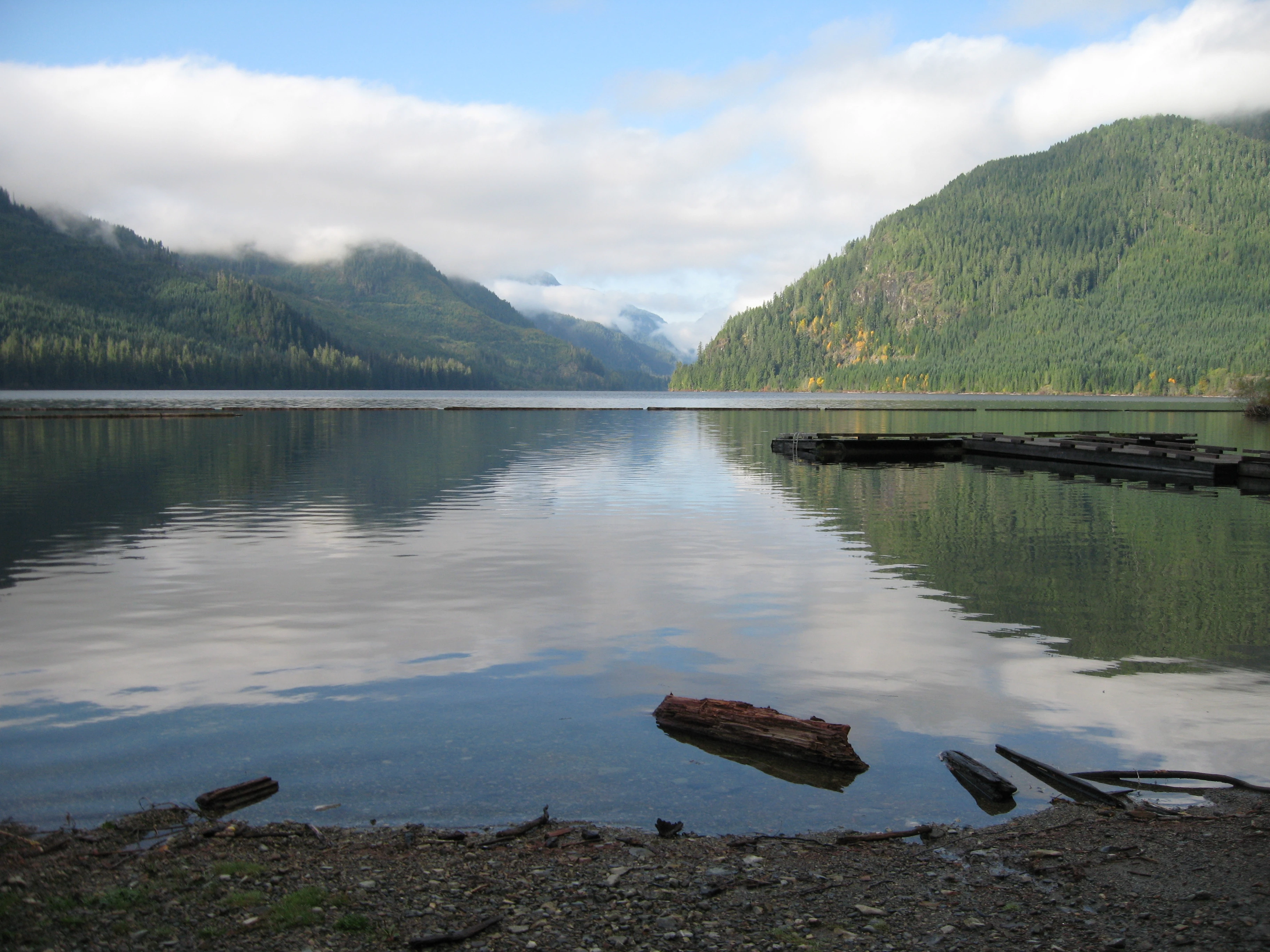
© Recreation Sites and Trails BC Muchalat Lake
Gold River · Rec Site · 40 sites60GreatGravelhas photoscuratedgood sizelakelots to dodrive (one-way)833 kmdrive time12h 26mround-trip$330.01200.0 LThFrSa20°/5° · looking greatFishingBoat launchLakePit toiletSwimming13 km· Shell13 km· Gold River7 km· Upana Lake59 km· Hot SpringsNearby attractions (1)- Upana Caves8.5 km
First-come, first-servedSource ↗A large, treed site at the east end of Muchalat Lake. The site includes a boat ramp, dock, beach and swimming area; lots to see and do!<br><br> The site will open for the season with a host for the May long weekend.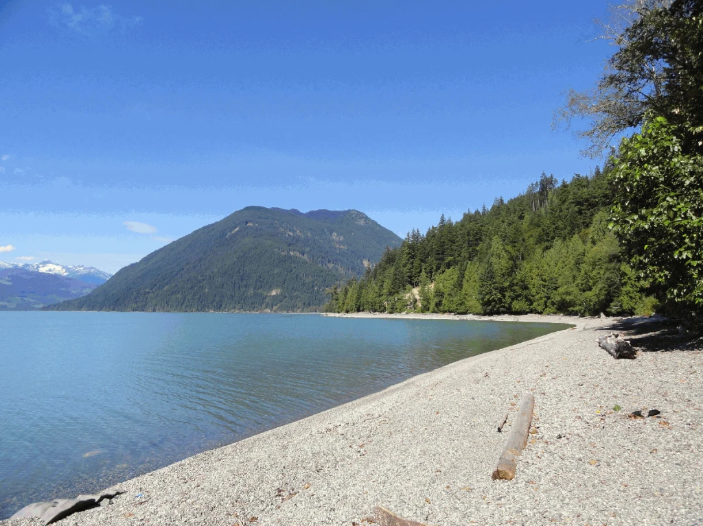
© Recreation Sites and Trails BC Cogburn Beach
East Harrison · Rec Site · 25 sites60GreatGravelhas photoscuratedgood sizelakelots to dodrive (one-way)309 kmdrive time6h 9mround-trip$122.4974.2 LThFrSa27°/10° · looking greatSwimmingBoat launchPit toiletLakeFishing24 km· Husky21 km· Sq'ewá:lxw / Skawahlook5 km· Comet Lake19 km· Clear Creek Hot SpringsFirst-come, first-servedSource ↗This site stretches along a beautiful gravel beach and offers a more rustic camping experience on Harrison Lake. Ample room exists along the waterfront for numerous camping spots and a limited number of camp pads are located in a treed area accessible by foot along short trails from the road. Site is popular for swimming, fishing and boating. <BR><BR>This is a CASH ONLY site and has on-site supervision. For reservations, additional information and updates, please visit <a href="http://www.harrisoneastcamping.com" target="_blank">www.harrisoneastcamping.com</a>. <BR><BR> Payment for camping …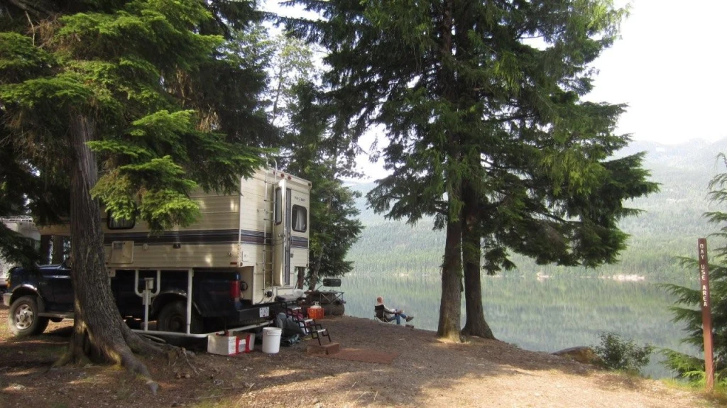
© Recreation Sites and Trails BC Stevens Creek
Nakusp · Rec Site · 13 sites60GreatGravelhas photoscuratedgood sizelakelots to dodrive (one-way)205 kmdrive time3h 55mround-trip$81.0149.1 LThFrSa27°/6° · looking greatSwimmingFishingBoat launchPit toiletLake18 km· Burton12 km· East Arrow Park52 km· Halfway Hot SpringsNearby MTB (1)- Arrow Slocan~26 km
First-come, first-servedSource ↗Whatshan Lake is a boating and popular fishing lake with more to offer than just big fish. In summer the lake warms up to very pleasant swimming temperature. Stevens Creek is very scenic. Whatshan Peak is directly across the lake and the Pinnacles loom in the distance. Large white pine trees shade level campsites. Some of the sites are clustered together, making them perfect for group camping. There is a day use area for picnicking and enjoying the pea gravel and sand beach.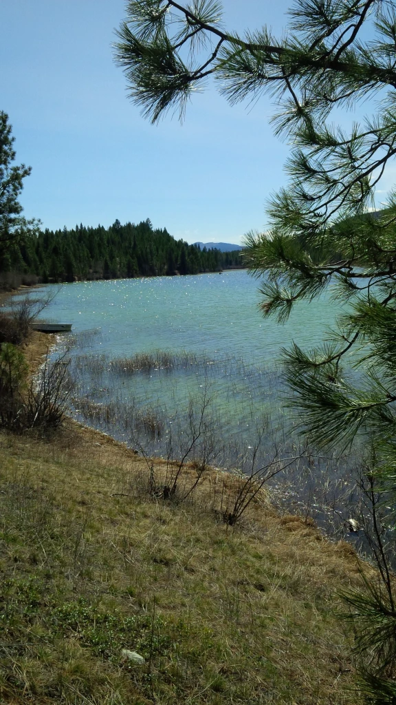
© Recreation Sites and Trails BC Larchwood Lake
Skookumchuck · Rec Site · 22 sites60GreatGravelhas photoscuratedgood sizelakelots to dodrive (one-way)549 kmdrive time8h 8mround-trip$217.27131.7 LThFrSa36°/13° · looking greatLakeFishingBoat launchHikingPit toilet18 km· Wasa Lake Gas & Food6 km· Skookumchuck28 km· Wildhorse Warm SpringsFirst-come, first-servedSource ↗This small lake is busy in the summer months. The sunny, open campsites provide scenic lake views. Great spring time fishing conditions-check the fishing regulations for specifics. <br> <br> A fee for camping is in effect at Larchwood Lake. Campsites can not be reserved, they are available on a first-come-first-served basis. An operator is on site to maintain the site and collect fees. Most sites can accommodate trailers. <br><br> Motorized vehicles including ATV's and dirt bikes are permitted on the gravelled roads and sites only. Off-road vehicles are to use areas outside of the Larchwood…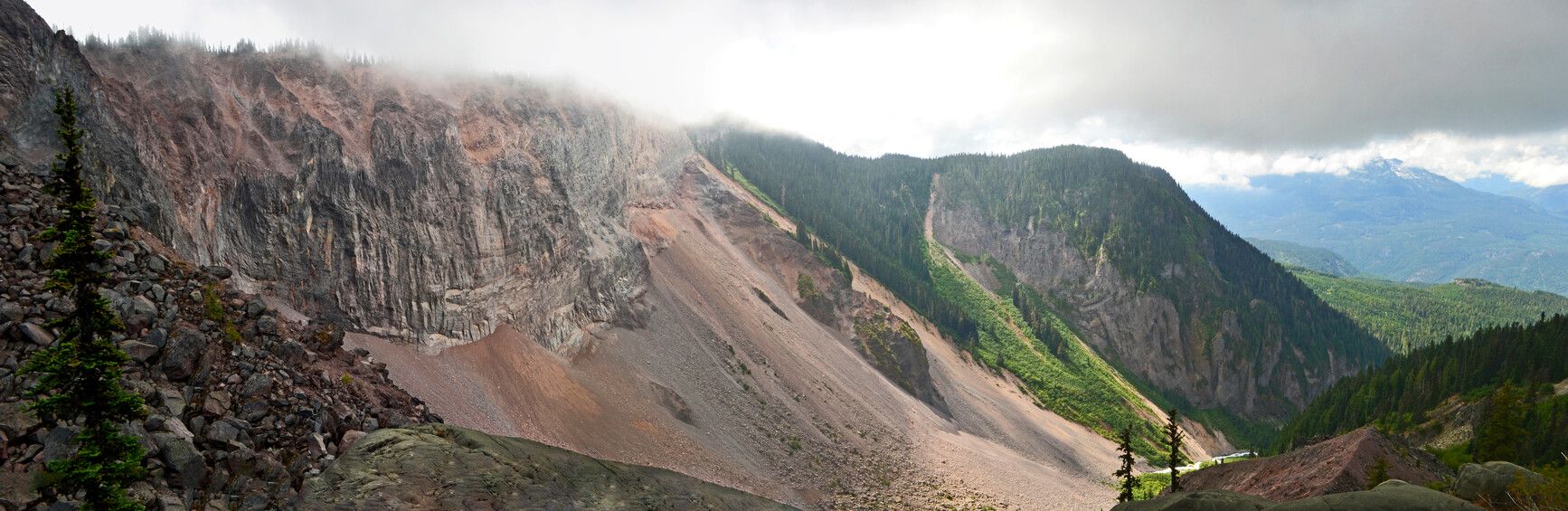
© BC Parks Garibaldi Lake Campground
— · BC Park60GreatPavedhas photoscuratedwaterlakelots to dodrive (one-way)513 kmdrive time7h 54mround-trip$203.08123.1 LThFrSa20°/6° · looking greatLakeHikingBoat launchSwimmingBiking+318 km· Co-op20 km· Whistler Village1 km· Lesser Garibaldi Lake37 km· Pitt River Hot SpringNearby attractions (1)- Brohm Lake Day Use14.8 km
Nearby MTB (3)- Whistler Mountain Bike Park~20 km
- Whistler~21 km
- Squamish~28 km
Reservation requiredSource ↗Located in the heart of the Coast Mountains just 64 km north of Vancouver, Garibaldi is known for its natural beauty and numerous hiking trails. Here, you’ll find rich geological history, diverse vegetation, snow-capped mountains, iridescent waters, abundant wildlife, and scenic vistas. The towering 2,678 m peak of Mount Garibaldi is the park’s centrepiece. Offering over 90 km of established hiking trails, Garibaldi Park is a favourite year-round destination for outdoor enthusiasts.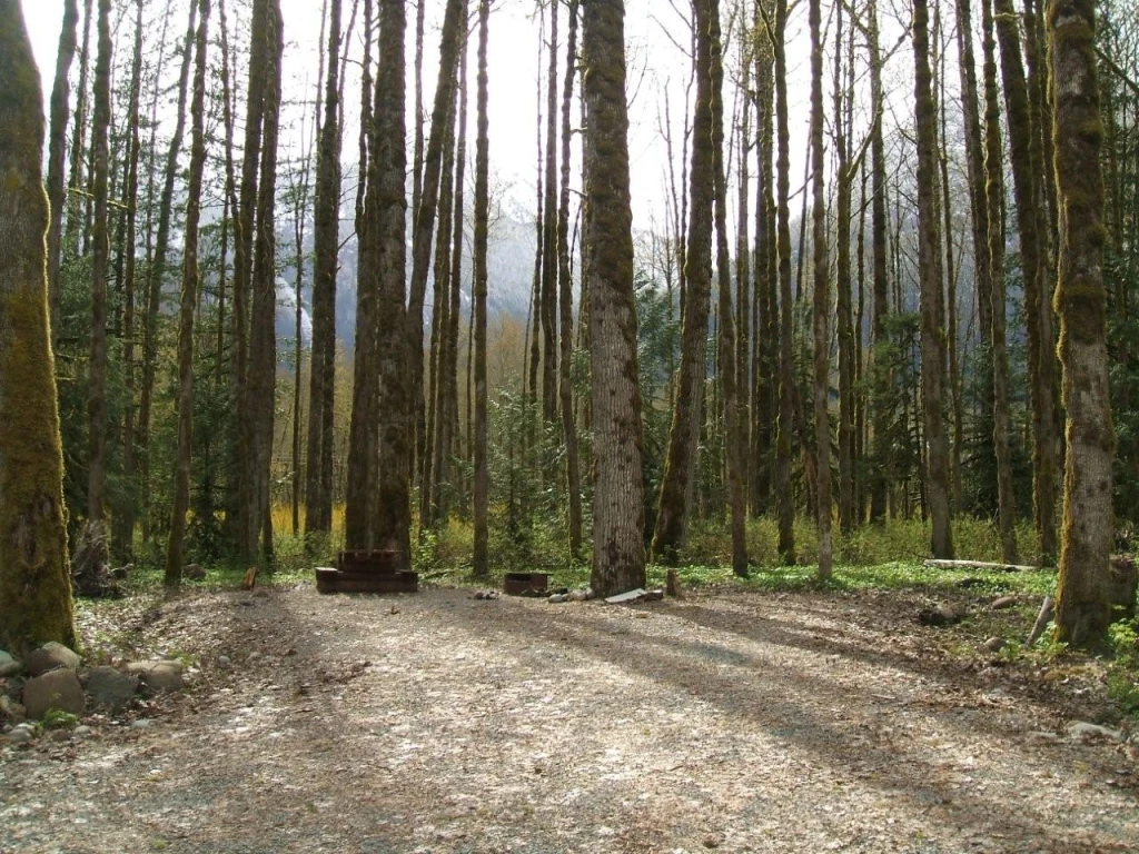
© Recreation Sites and Trails BC Squamish Riverside Campsite
Squamish · Rec Site · 9 sites59GoodGravelhas photoscuratedgood sizelakelots to dodrive (one-way)485 kmdrive time6h 27mround-trip$191.99116.4 LThFrSa17°/2° · looking greatSwimmingFishingPit toiletLakeFirepit21 km· Petro-Canada26 km· Squamish6 km· Lewis Lake49 km· Pitt River Hot Spring2 km· Sigurd Creek Trail / Crooked FallsNearby attractions (1)- Anderson Beach3.8 km
Nearby MTB (1)- Squamish~26 km
First-come, first-servedSource ↗This site has 9 tent areas, tables, fire rings and 2 outhouses. Beautiful site beside the Squamish River, close to the Ashlu Creek. Very popular for fishing and camping. <BR><BR> The area has a history of Black/Grizzly Bear presence. Please store food items in vehicles and pack out all garbage and refuse as there is no garbage pick-up service, and therefore no camping fees at this time. <BR> Wheelchair accessible toilet on site. <BR><BR><b>This site is prone to flooding from Squamish River during high rainfall.</b>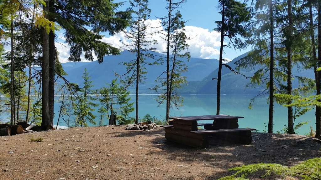
© Recreation Sites and Trails BC Hadow Creek
Nakusp · Rec Site · 8 sites57Good4x4 onlyhas photoscuratedgood sizelake4x4 onlydrive (one-way)287 kmdrive time5h 5mround-trip$113.7368.9 LThFrSa30°/13° · looking greatFishingBoat launchPit toiletLake40 km· Petro-Canada5 km· Beaton9 km· Armstrong Lake27 km· Halfway Hot SpringsNearby MTB (1)- Sol Mountain~22 km
First-come, first-servedSource ↗This is a beautiful campsite right at the mouth of Hadow Creek. There are six campsites suitable for tenting or small RVメs . Great opportunities for camping, fishing, and boating are available here. This recreation site was constructed in partnership with BC Timber Sales, with special thanks to Galena Contractors LTD.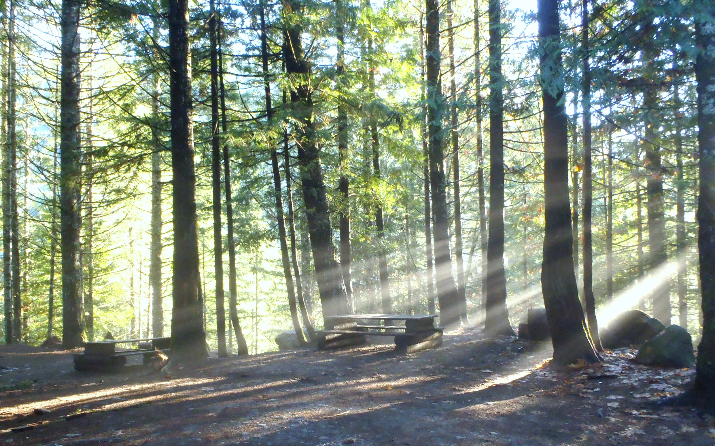
© Recreation Sites and Trails BC Sloquet Hot Springs
West Harrison · Rec Site · 20 sites56Good4x4 onlyhas photoscuratedgood sizelake4x4 onlydrive (one-way)392 kmdrive time8h 17mround-trip$155.3294.1 LThFrSa28°/10° · looking greatHikingPit toiletLakeFirepit9 km· Xa'xtsa Gas Bar & C-store10 km· Tipella18 km· August Jacob's Hot SpringFirst-come, first-servedSource ↗The In-Shuck Forest Service Road is the main form of access. Access via the West Harrison FSR is limited. <b>PLEASE NOTE: In-Shuck FSR is RARELY cleared in the winter and access is difficult. 4x4 WITH CHAINS necessary. Access via West Harrison FSR is NOT recommended in winter.</b> Logging roads may be active, please be prepared and drive with caution. <BR><BR> This is a rustic campsite with a small natural hot spring. The area is the traditional territory of Xa'xtsa or Douglas First Nation. The hot springs have been used since before settlement. The Xa'xtsa people still use the hot springs …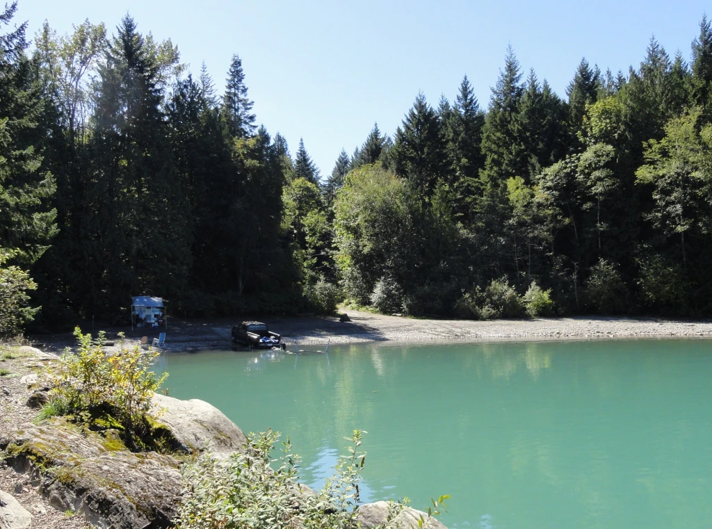
© Recreation Sites and Trails BC Cascade Peninsula
East Harrison · Rec Site · 25 sites55Good4x4 onlyhas photoscuratedgood sizelake4x4 onlydrive (one-way)304 kmdrive time5h 23mround-trip$120.4773.0 LThFrSa27°/10° · looking greatBoat launchPit toiletLake15 km· Husky15 km· Sq'ewá:lxw / Skawahlook5 km· Barnet Lake15 km· Harrison Hot SpringsFirst-come, first-servedSource ↗A medium sized forested site on the shores of Harrison Lake. The site is located in a bay sheltered from the inflow winds prevalent during the hot periods of the day. This site is popular with boaters, anglers and hikers. The access to this site has been improved but four wheel drive is recommended. <BR><BR>Seasonal Closure opening date to be determined Spring 2026 <BR><BR>NOTE: All visitors are required to exit the site by 10:30 PM unless otherwise posted. Gates are locked at 11:00 PM and will remain closed until 7:00 AM. Quiet time is 11pm - 7am. Gates are locked during off season.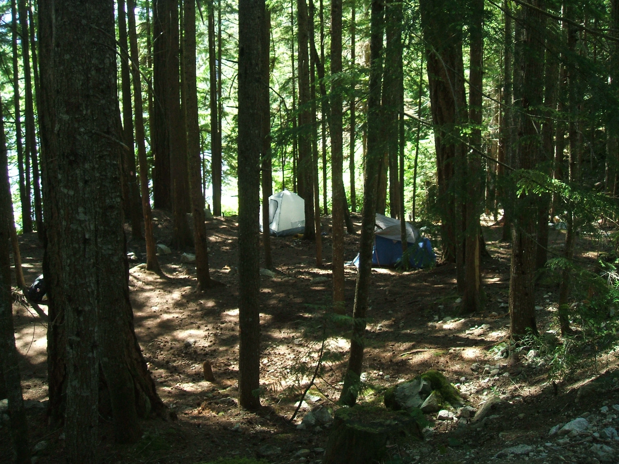
© Recreation Sites and Trails BC Levette Lake
Squamish · Rec Site · 9 sites55Good4x4 onlyhas photoscuratedgood sizelake4x4 onlydrive (one-way)471 kmdrive time6h 7mround-trip$186.61113.1 LThFrSa20°/6° · looking greatHikingSwimmingLakePit toilet9 km· Petro-Canada15 km· Squamish3 km· Evans Lake37 km· Pitt River Hot Spring8 km· Alice Lakes TrailheadNearby attractions (3)- Brohm Lake Day Use4.0 km
- Brohm Lake Interpretive Forest Trails4.2 km
- Anderson Beach8.4 km
Nearby MTB (1)- Squamish~15 km
First-come, first-servedSource ↗<BR><BR>The overnight fee is $18 per night - per vehicle or group of 6 people, per site.<BR><BR> Levette Lake is a beautiful lake with mountain views. Very rough road, 4x4 only. Take all garbage out with you, there is no garbage pick-up here.<BR><BR> Levette lake is frequently visited by black bears, this means you must use extra caution managing your food and garbage. Please use bear proof food caches available on-site whenever food or garbage must be left unattended.<b> This site has high bear activity.</b> Do not feed bears or any wildlife.<BR><BR> The North half of Levette Lake is an un…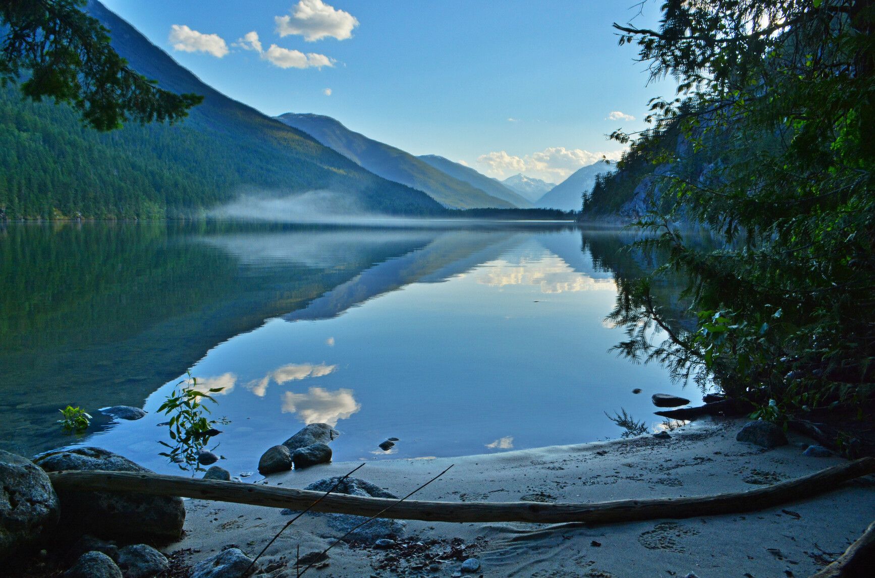
© BC Parks Nahatlatch Lake Campsite
— · BC Park55GoodPavedhas photoscuratedlakelots to doBC Parkdrive (one-way)303 kmdrive time4h 53mround-trip$119.9772.7 LThFrSa27°/8° · looking greatLakeHikingBoat launchSwimmingFishing+325 km· Fas Gas16 km· Kanaka Bar2 km· Nahatlatch Lake36 km· Clear Creek Hot SpringsNearby attractions (1)- Nahatlatch Lookout10.4 km
Mixed (some reservable)Source ↗Nahatlatch Park is characterized by scenic mountain peaks and glaciers, old growth forests, and a unique lake and river system. This park protects one of the largest intact wetlands remaining in the Lower Mainland. A series of small streams flow into, out of, and between the three lakes in the park named Frances, Hannah, and Nahatlatch. Their waters drain into the Nahatlatch River, which is 20 km upstream from its confluence with the Fraser. The powerful Nahatlatch River features a spectacular series of rapids, ideal for river rafting and kayaking. Those seeking a more tranquil experience will enjoy canoeing around and between the placid lakes, swimming in the backwater pools, and fishing along the lakeshores. Other activities for summer recreationists include backcountry hiking, and bi…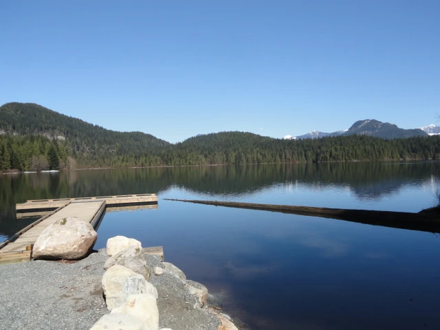
© Recreation Sites and Trails BC Sayres Lake
Mission · Rec Site · 40 sites54Good4x4 onlyhas photoscuratedgood sizelake4x4 onlydrive (one-way)360 kmdrive time4h 36mround-trip$142.3786.3 LThFrSa27°/13° · looking greatBoat launchHikingFishingLake14 km· Save Gas10 km· Stave Falls1 km· Sayres Lake38 km· Harrison Hot SpringsFirst-come, first-servedSource ↗Enjoy this beautiful reconstructed site on Sayres Lake, located within Mission TFL. This site is unique as remnants of historical harvesting exist shown by the massive Western Red Cedar stumps that add to the character of the site. It is illegal to damage the environment; therefore cutting the stumps or any Crown timber within a recreation site is prohibited by law in BC. <BR><BR>This site was primarily designed for smaller vehicles such as truck and camper units, or tent camping. There are 28 campsites, including several group sites to accommodate larger gatherings, as well 12 walk-in tent…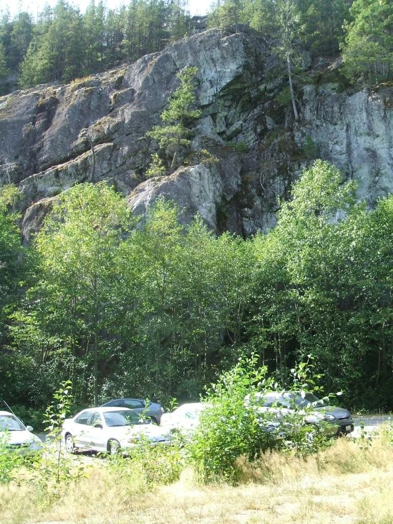
© Recreation Sites and Trails BC Chek Canyon Climbing Site
Squamish · Rec Site · 32 sites54Good4x4 onlyhas photoscuratedgood sizelake4x4 onlydrive (one-way)477 kmdrive time6h 9mround-trip$188.93114.5 LThFrSa17°/2° · looking greatPit toiletLakeFirepit17 km· Petro-Canada23 km· Squamish1 km· Starvation Lake40 km· Pitt River Hot Spring11 km· High Falls CreekNearby attractions (3)- Anderson Beach8.4 km
- Brohm Lake Day Use9.9 km
- Brohm Lake Interpretive Forest Trails10.8 km
Nearby MTB (3)- Squamish~23 km
- Whistler Mountain Bike Park~27 km
- Whistler~28 km
First-come, first-servedSource ↗A popular climbing area, known as "Chek." Access road is steep, all wheel drive is recommended. This site has about 100 climbing routes in place, for beginner to expert climbers. Pack out all that you pack in. <BR><BR>Campsites are available at both parking lots & are first come, first served. Most sites are walk-in sites but a few drive-in sites available. Picnic tables, fire rings, outhouses & bear caches available throughout site.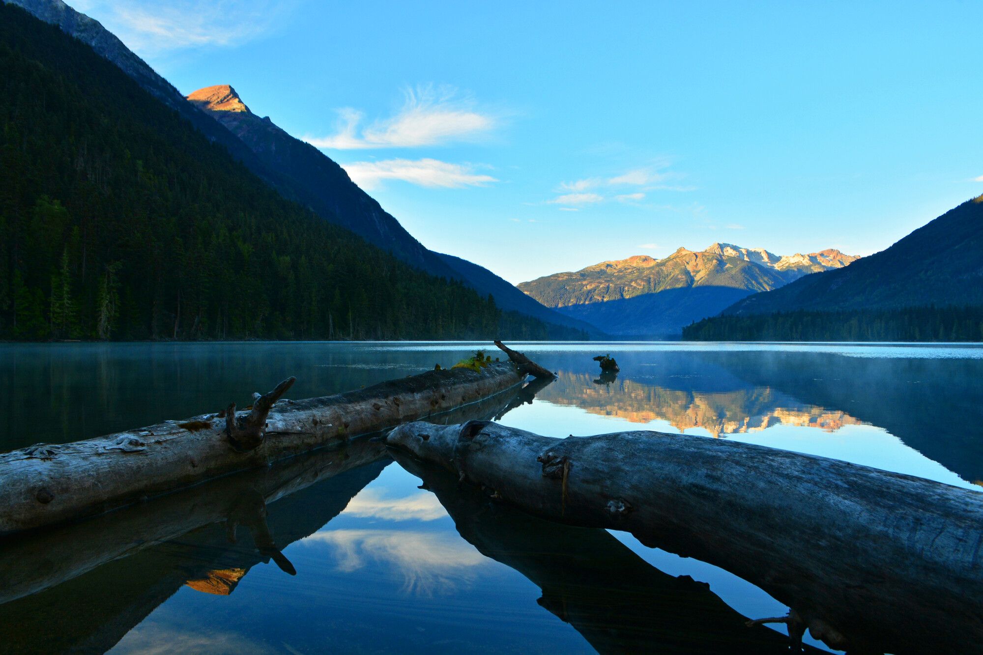
© BC Parks Birkenhead Lake Provincial Park
Sea-to-Sky · BC Park · 91 sites54GoodGravelhas photoscuratedlakelots to doBC Parkdrive (one-way)431 kmdrive time7h 16mround-trip$170.55103.4 LThFrSa24°/11° · looking greatLakeSwimmingFishingBoat launchHiking12 km· N'Quatqua Central Service Station7 km· Birkenhead Lake Estates3 km· Birkenhead Lake58 km· Meager Creek Hot Spring15 km· Cool Creek Canyon TrailheadNearby MTB (2)- Pemberton~28 km
- Flow State Guiding Heli Biking~30 km
Reservation requiredSource ↗Birkenhead Lake Park was first established in 1963 to provide lakeside camping and other recreation experiences for travellers between Whistler and Lillooet. The park was expanded in 1996 from 3,642 hectares to 9,755 hectares, adding significant conservation values of the Sockeye Creek watershed. The park was again expanded by 684 hectares in 2008 to include more of the alpine headwaters of the western side of the Sockeye Creek watershed. The park protects important habitat for a variety of wildlife, including spotted owls, mountain goats, black bears, and grizzly bears. Old growth forests, subalpine and alpine environments, large and small lakes all contribute to the park’s diversity.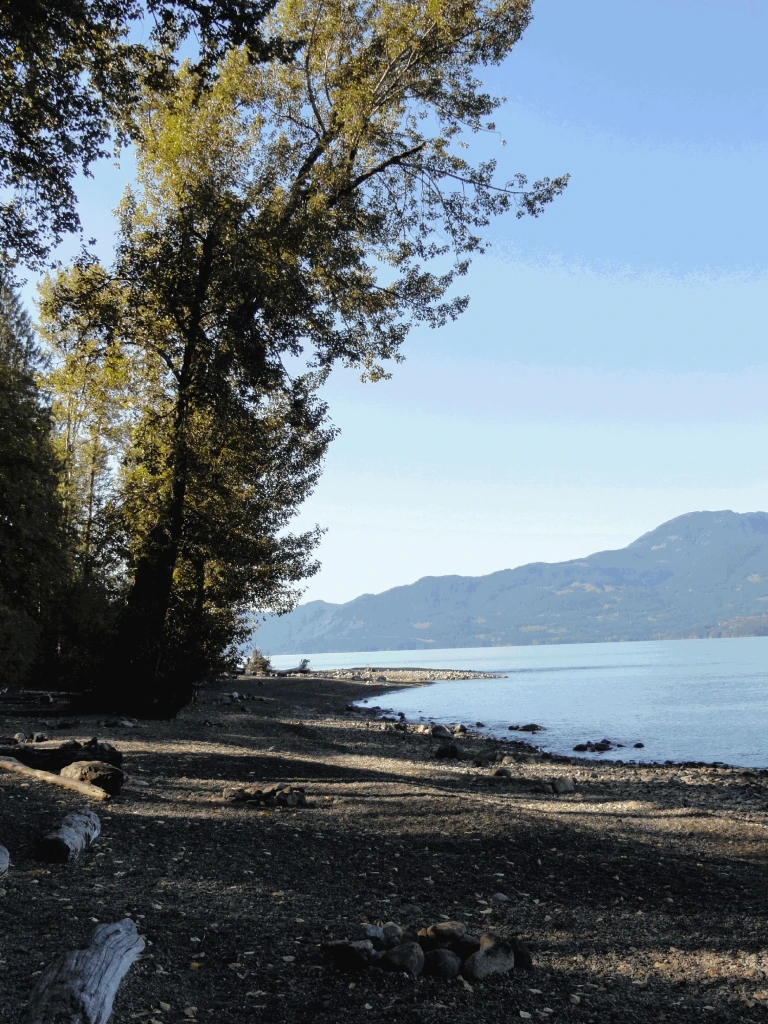
© Recreation Sites and Trails BC Bear Creek
East Harrison · Rec Site · 40 sites53GoodGravelhas photoscuratedgood sizelakedrive (one-way)303 kmdrive time5h 34mround-trip$120.1372.8 LThFrSa27°/10° · looking greatSwimmingBoat launchPit toiletLake18 km· Husky17 km· Sq'ewá:lxw / Skawahlook4 km· Barnet Lake18 km· Harrison Hot SpringsFirst-come, first-servedSource ↗A small forested site on the shore of Harrison Lake. Access is by gravel road suitable for two wheel drive vehicles. It is a popular site with the windsurfers and beach camping is available. <BR><BR> This is a CASH ONLY site and has on-site supervision. For reservations, additional information and updates, please visit <a href="http://www.harrisoneastcamping.com" target="_blank">www.harrisoneastcamping.com</a>. <BR><BR><B>NOTE:All visitors are required to exit the site by 10:30 PM unless otherwise posted. Gates are locked at 11:00 PM and will remain closed until 7:00 AM. Quiet time is 11pm …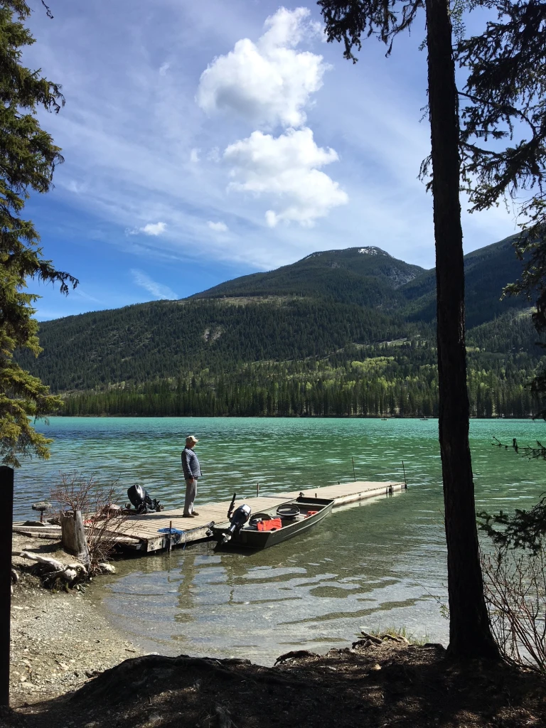
© Recreation Sites and Trails BC Whitetail Lake
Canal Flats · Rec Site · 30 sites53GoodGravelhas photoscuratedgood sizelakedrive (one-way)530 kmdrive time8h 18mround-trip$209.79127.1 LThFrSa25°/8° · looking greatBoat launchLakeFishingPit toilet15 km· Centex17 km· Canal Flats1 km· Whitetail Lake60 km· Wildhorse Warm SpringsNearby attractions (1)- Findlay Falls14.8 km
First-come, first-servedSource ↗A beautiful campsite along a turquoise-blue lake. Popular for fishing in the spring and fall and kayaking, canoeing and paddle boarding in the summer. Most campsites offer shade and easy lake access. The first group of sites is accessible by trailers. A boat launch and day-use parking area are also provided. The second group of sites further south has only a very small trailer turn-around area. <br><br> Water-skiing is prohibited. <br><br> Whitetail Lake Recreation Site is busy during the months of May and June for trophy fishing. The fishing here is generally productive. The lake is manage…