Sea-to-Sky & Sunshine Coast · this weekend
Top 40 for Sat, Jul 25 · drive from Kelowna, BCThe region's best campgrounds, re-ranked for the weekend: warm, dry forecasts rise; rained-out and campfire-banned sites sink. The score badge stays baseline quality, check each card's forecast strip and campfire-ban chip for why.
84 active wildfires in BC5 of note
BC Wildfire Service: 24 min agoLargest active fire: 17,299 ha
Campfire ban:CaribooCoastalKamloopsSoutheast
Category 2 open-fire ban:CaribooCoastalKamloopsNorthwestPrince GeorgeSoutheast
Category 3 open-fire ban:CaribooCoastalKamloopsNorthwestPrince GeorgeSoutheast
Loading map…
OriginBC ParkRec Site
© BC Parks Campfire ban in effect at this locationSmelt Bay Provincial Park
— · BC Park · 24 sites73GreatPavedcampfire banhas photoscuratedgood sizewaterdrive (one-way)777 kmdrive time12h 31mround-trip$307.68186.5 LSaSuMo21°/13° · looking greatBoat launchSwimmingFishingBikingPit toilet+311 km· Squirrel Cove General Store4 km· Mansons Landing5 km· Gunflint LakeNearby MTB (1)- Campbell River~20 km
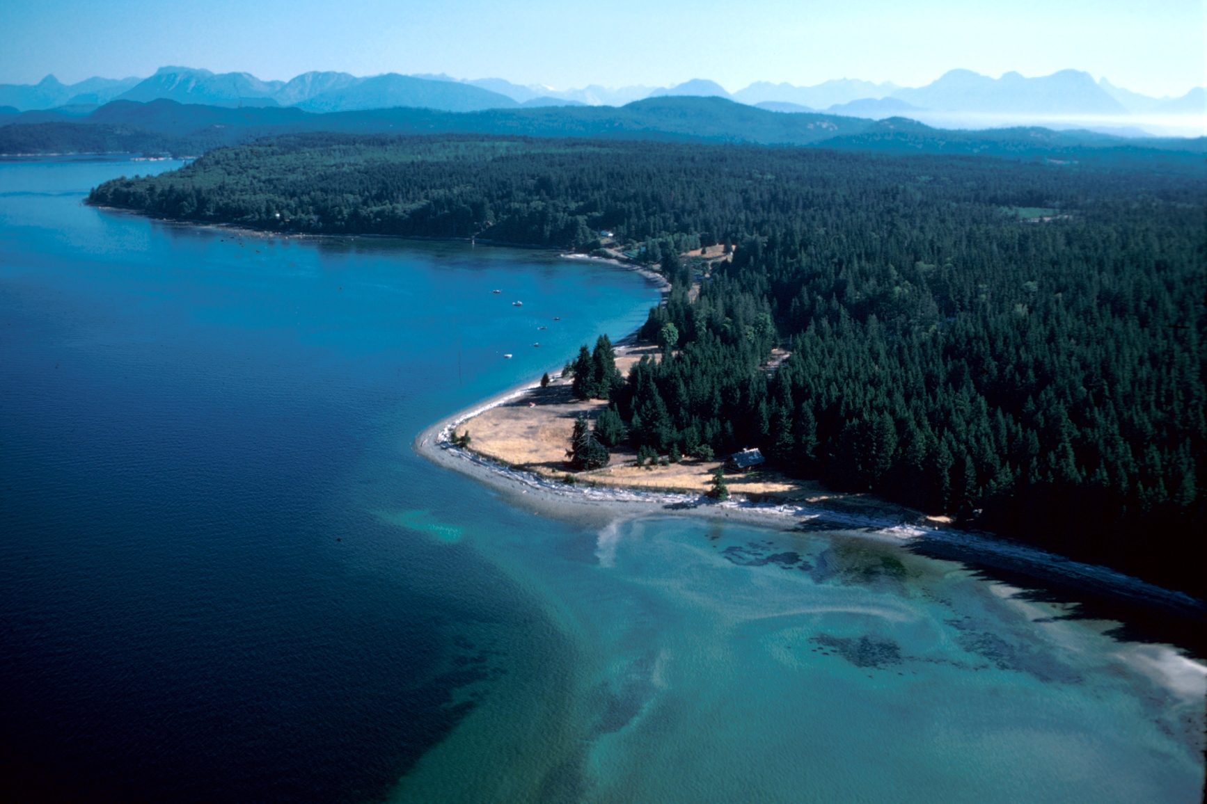
Mixed (some reservable)Source ↗Located on the southern peninsula of Cortes Island, Smelt Bay Park is named for the capelin fish that spawn ashore by the tens of thousands. Females lay up to 65,000 eggs on the shore in late September and early October, which hatch within three weeks. These small, silver fish draw a variety of other marine life to the area. The park features a beautiful beach that extends from the south end of Smelt Bay around the shoreline to Sutil Point. It is a great place for marine exploration at low tide. The beach is backed by mounds which are believed to have been built by Coast Salish First Nations as a form of defense. This is the only provincial campground on remote Cortes Island. It offers 22 spacious campsites laid out in a delightful setting in the woods, overlooking Smelt Bay.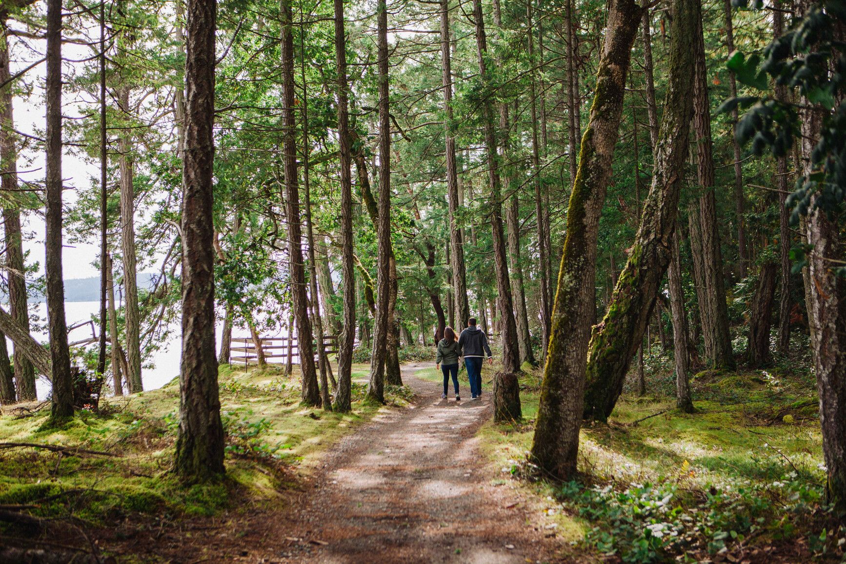
© BC Parks Campfire ban in effect at this locationSaysutshun (Newcastle Island Marine) Park
— · BC Park · 18 sites71GreatPavedcampfire banhas photoscuratedgood sizewaterdrive (one-way)468 kmdrive time6h 58mround-trip$185.42112.4 LSaSuMo20°/15° · mixedHikingFishingSwimmingBikingPit toilet+32 km· Esso3 km· Nanaimo1 km· Mallard LakeNearby MTB (1)- Nanaimo~2 km
Reservation requiredSource ↗For an experience rich in history, culture and entertainment, do what people have been doing since the 1930s and hop on a boat to Saysutshun (Newcastle Island Marine) Park. Bring your own boat or take the passenger ferry from Nanaimo (a 10 minute ride that deposits passengers on Newcastle Island), located just a few hundred metres offshore from Vancouver Island. From a distance you’ll see an island shoreline dominated by steep sandstone cliffs and ledges, interspersed with sunny beaches. A marked contrast to the interior of the island, which is studded with mature Douglas fir, Garry oak, arbutus and Big Leaf maple trees. Visitors to Newcastle Island can choose from an extensive network of walking and hiking trails that lead to various historic points around the island. Indigenous midden…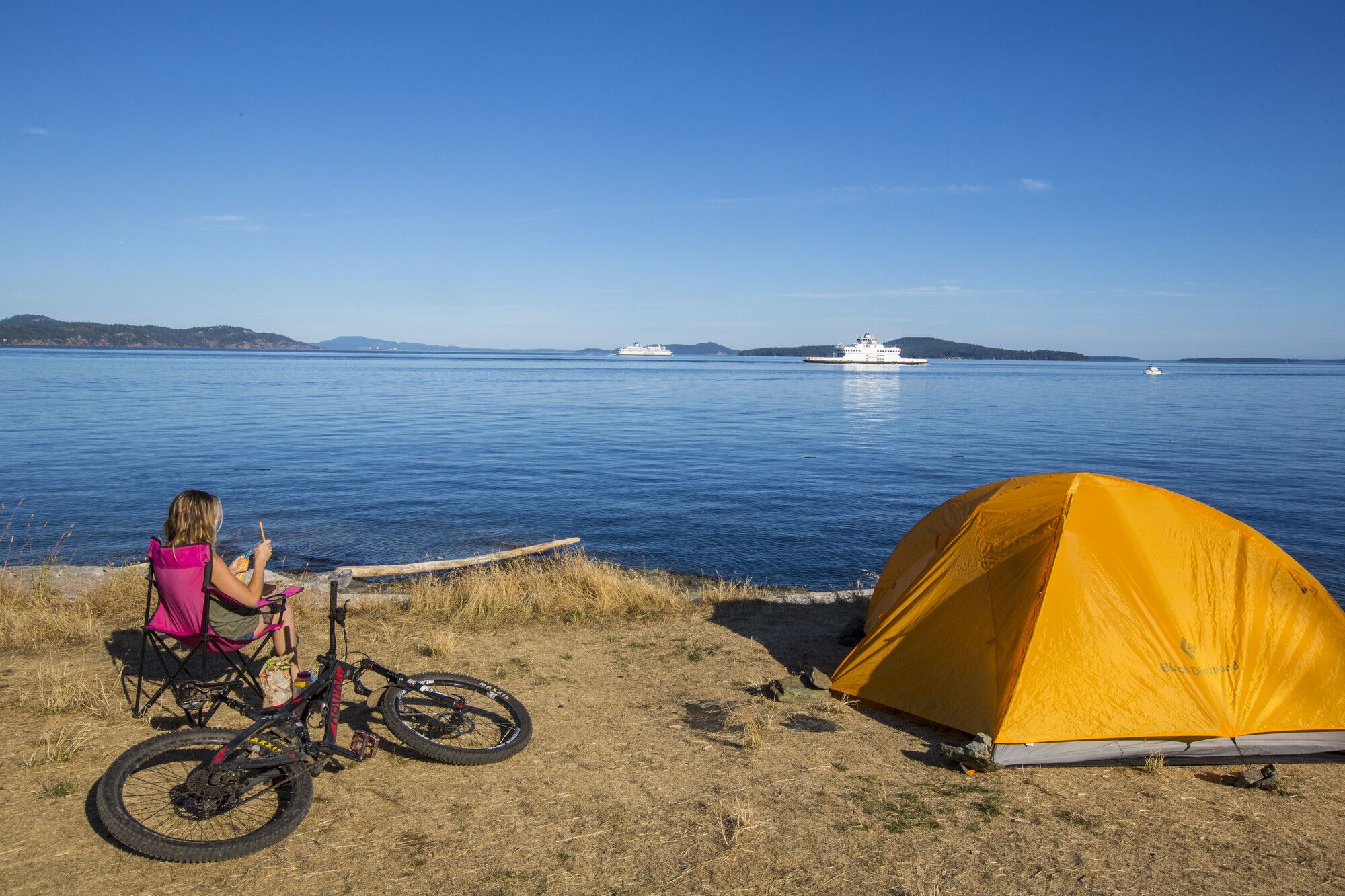
© BC Parks Campfire ban in effect at this locationRuckle Provincial Park
— · BC Park · 86 sites68GreatPavedcampfire banhas photoscuratedwaterlakedrive (one-way)459 kmdrive time7h 30mround-trip$181.78110.2 LSaSuMo21°/10° · looking greatHikingSwimmingFishingBikingBoat launch+48 km· Driftwood Auto Centre5 km· Fulford Harbour6 km· Roe Lake14 km· Stoney Hill TrailheadNearby MTB (1)- Cowichan~24 km
Mixed (some reservable)Source ↗Ruckle Park on Salt Spring Island is one of the most beautiful parks in the southern Gulf Islands area. Pitch your tent in the grassy meadow overlooking Swanson Channel then lie back and relax, watching pleasure boats and ferries sail by in a stately and colourful parade. With its seven kilometres of shoreline, rocky headlands, and tiny coves and bays, Ruckle Park provides hours or even days of enjoyable exploration. Forest, field, and shore habitats make it one of the most productive wildlife viewing areas on Salt Spring. Watch for sea lions and killer whales out at sea, as well as mink and river otters cavorting along the shoreline. Tidal pools are filled with a brightly coloured mix of crab, mussel, limpet, oyster, sculpin, starfish, and more. Scuba divers frequent the waters off Ruc…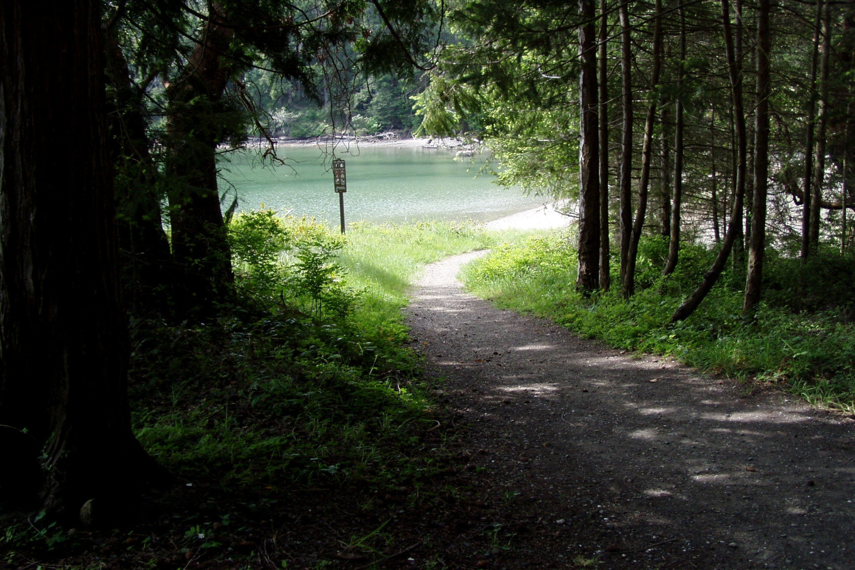
© BC Parks Campfire ban in effect at this locationMontague Harbour Marine Park
— · BC Park · 44 sites67GreatPavedcampfire banhas photoscuratedgood sizewaterdrive (one-way)479 kmdrive time8h 12mround-trip$189.73115.0 LSaSuMo20°/16° · looking greatBoat launchSwimmingHikingBikingFishing+37 km· Galiano Garage Services4 km· Galiano4 km· Finlay LakeNearby MTB (1)- Cowichan~26 km
Mixed (some reservable)Source ↗Montague Harbour Marine Park on peaceful Galiano Island. Beaches, open meadows, tidal lagoons, towering forests, craggy headlands and abundant bird life are just a few of the things that attract visitors to this park in the southern Gulf Islands. The park starts five metres below sea level and climbs 180 metres to a steep rocky precipice. Visitors can moor their boats to one of the 35 buoys in sheltered Montague Harbour or come by ferry and camp in one of the scenic vehicle-accessible or walk-in campsites. The park is the perfect place to enjoy a picnic or afternoon of exploration. Located within the park is Gray Peninsula, which was inhabited by First Nations peoples before the arrival of Spanish explorer Dionisio Galiano in 1792. Skirting the northwest edge of the peninsula is a spect…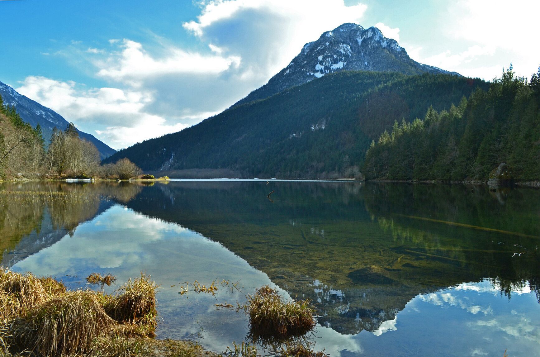
© BC Parks Campfire ban in effect at this locationSilver Lake Provincial Park
— · BC Park · 25 sites75GreatPavedcampfire banwet forecasthas photoscuratedgood sizedrive (one-way)252 kmdrive time3h 10mround-trip$99.6260.4 LSaSuMo19°/9° · 1 wet dayHikingFishingSwimmingBikingPit toilet+46 km· Esso8 km· Hope9 km· Eaton Lake28 km· Harrison Hot SpringsNearby attractions (1)- Peers Creek/HBC Trail10.7 km
Mixed (some reservable)Source ↗Situated in the scenic Skagit Valley, Silver Lake Park is a small, undeveloped lakefront area. Visitors can enjoy fishing, picnicking and boating (10 horse power motor limit) against a spectacular mountain backdrop or take pleasure in a rustic camping experience.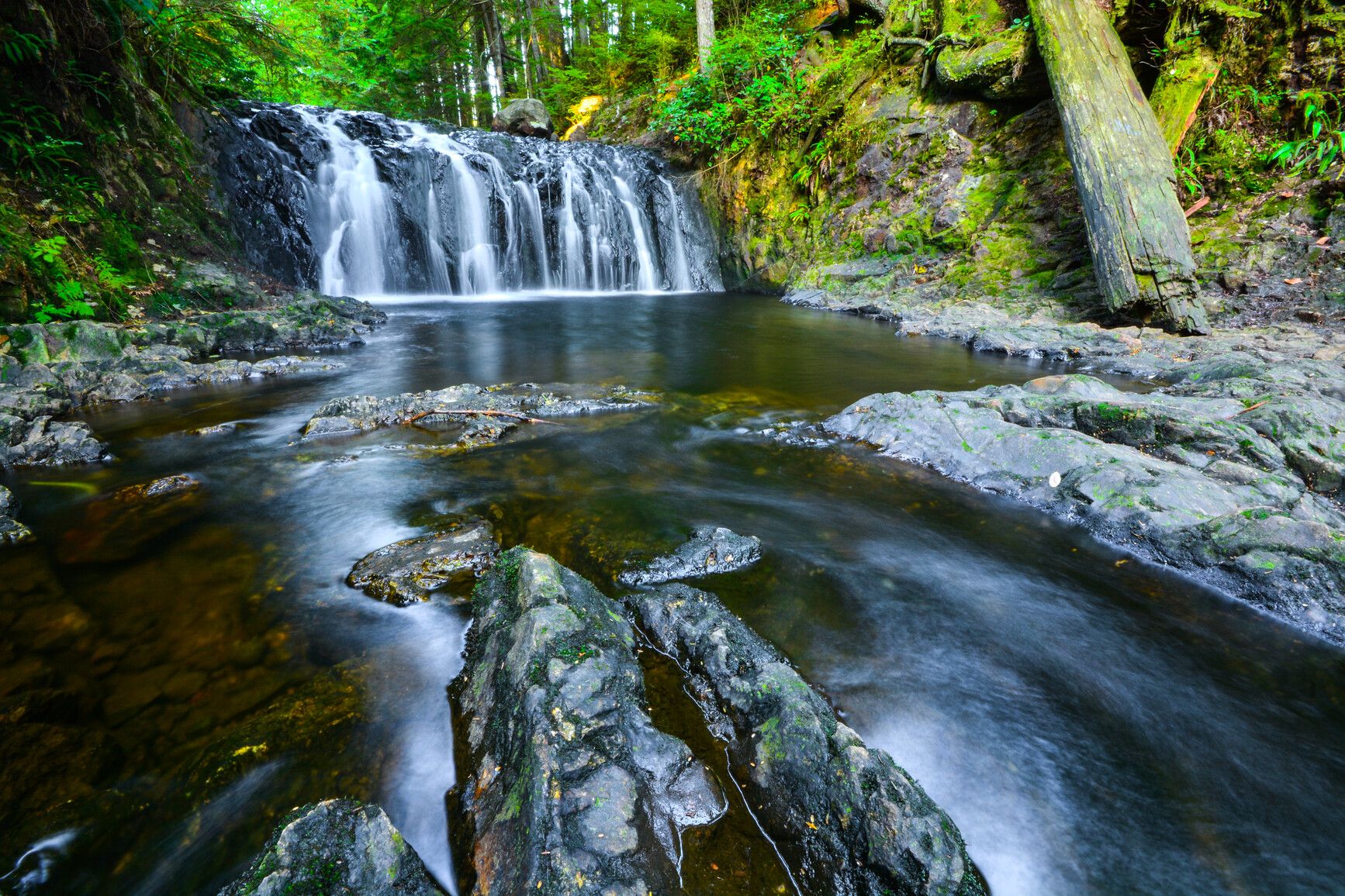
© BC Parks Campfire ban in effect at this locationRolley Lake Provincial Park
— · BC Park · 79 sites68GreatPavedcampfire banhas photoscuratedwaterlakedrive (one-way)350 kmdrive time4h 26mround-trip$138.6584.0 LSaSuMo23°/13° · 1 wet dayHikingBoat launchFishingSwimmingBiking+48 km· Centex3 km· Stave Falls43 km· Harrison Hot Springs3 km· Reservoir Trail TrailheadMixed (some reservable)Source ↗Less than an hour drive from Vancouver, Rolley Lake Park provides a quick escape from urban life. The park is a predominately flat, wilderness area blanketed with tall, second-growth conifers. The small, warm-water lake provides opportunities for swimming, fishing, and canoeing. Sixty-four campsites are nestled in the trees just minutes from the lakeshore. Visitors can also enjoy picnicking and short hikes.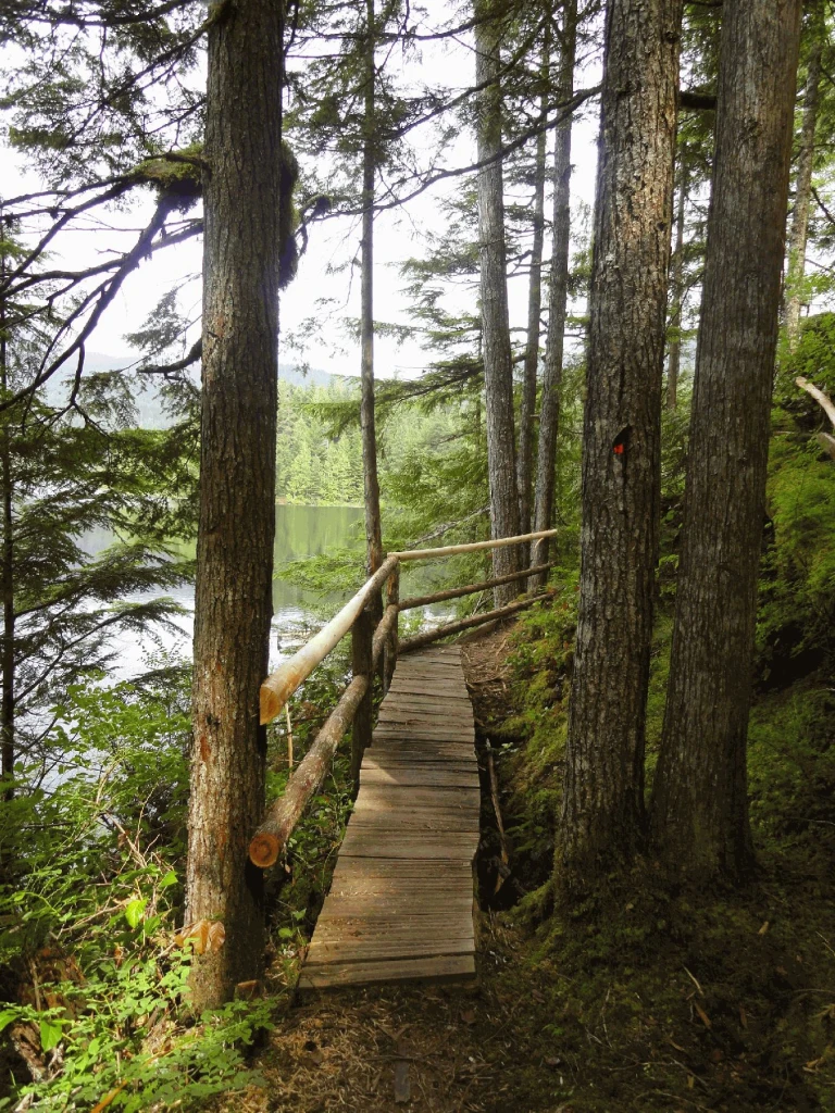
© Recreation Sites and Trails BC Campfire ban in effect at this locationWeaver Lake Group Site
West Harrison · Rec Site · 10 sites67Great4x4 onlycampfire banhas photoscuratedgood sizelakedrive (one-way)314 kmdrive time4h 45mround-trip$124.2375.3 LSaSuMo24°/14° · 1 wet dayBoat launchLakeFishingHikingPit toilet+17 km· Fas Gas7 km· Sts'a'í:les / Sts'ailes1 km· Francis Lake7 km· Harrison Hot SpringsNearby attractions (1)- Harrison Recreation Site10.5 km
First-come, first-servedSource ↗Enjoy use of this GROUP site for your family or group gatherings. This semi-private site is located at the northeast side of Weaver Lake and boasts a dock, 10 tenting pad sites and a communal fire ring. In addition, it features a beautiful log shelter complete with wood stove, food preparation station and three beautiful log tables. <BR><BR>The fee structure is: weekdays are $200.00/night with weekends and holidays are $290.00 per night. This site is available through reservations only. For more information and site availability visit <a href="http://www.westharrisonreservations.com" target…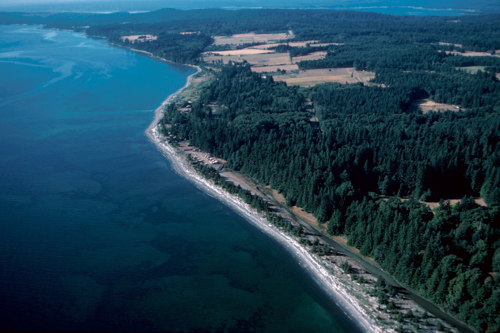
© BC Parks Campfire ban in effect at this locationFillongley Provincial Park
— · BC Park · 10 sites67GreatPavedcampfire banhas photoscuratedgood sizewaterdrive (one-way)670 kmdrive time10h 10mround-trip$265.28160.8 LSaSuMo23°/13° · mixedHikingSwimmingFishingBoat launchBiking+34 km7 km· Fanny Bay4 km· Chickadee LakeNearby MTB (1)- Comox Valley~21 km
Mixed (some reservable)Source ↗This small picturesque park on the north side of Denman Island offers an idyllic location to enjoy a picnic and spend a quiet afternoon. The land that is now Fillongley Park was bequeathed to the province of British Columbia by George Beadnell, an Englishman who settled here at the turn of the century. Over the years, Beadnell developed Fillongley into one of the most beautiful estates in the Gulf Islands. A large, flat grassy field, once the site of a bowling green, comes alive with vibrant wildflowers in the spring. Set amongst a canopy of imported deciduous trees, this park is also noted for its beautiful display of colours in the fall. Ten campsites are located along the ocean, and there are several walking trails through the park where visitors can observe the old growth cedar fore…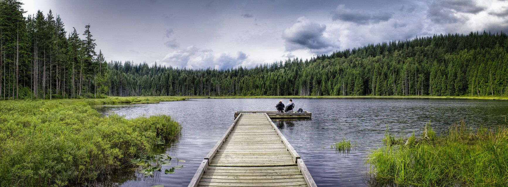
© BC Parks Campfire ban in effect at this locationGolden Ears Groupsite
— · BC Park · 435 sites65GreatPavedcampfire banhas photoscuratedwaterlakedrive (one-way)374 kmdrive time4h 49mround-trip$147.9289.7 LSaSuMo23°/13° · 1 wet dayPotable waterPit toiletHikingSwimmingBoat launch+413 km· Esso13 km· Stave Falls4 km· Alouette Lake45 km· Pitt River Hot Spring14 km· Reservoir Trail TrailheadMixed (some reservable)Source ↗Golden Gate/X̱áat Yádi Aani Conservancy was established as a result of the Wóoshtin Wudidaa Atlin Taku Land Use Plan and Taku River Tlingit First Nation Strategic Engagement Agreement. The conservancy is a high value Tlingit landscape that includes important cultural and recreational features in the islands, bays and shoreline at the junction of Tagish Lake and Graham Inlet. The Tlingit name (X̱áat Yádi Aani) refers to a village located close to the place where humpback whitefish congregated. The conservancy is located approximately 35 kilometres northwest from Atlin in the asserted traditional territory of the Taku River Tlingit and Carcross/Tagish First Nations.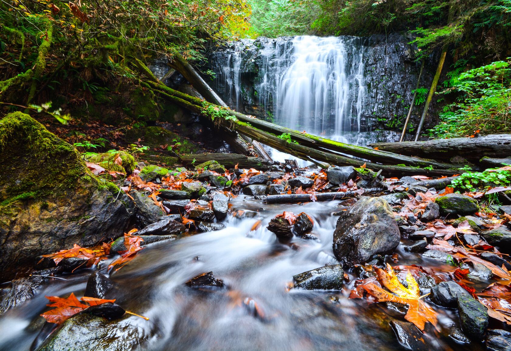
© BC Parks Campfire ban in effect at this locationSasquatch Provincial Park
— · BC Park · 178 sites65GreatPavedcampfire banhas photoscuratedwaterlakedrive (one-way)289 kmdrive time3h 43mround-trip$114.5269.4 LSaSuMo24°/14° · 1 wet dayHikingBoat launchFishingSwimmingBiking+47 km· Husky7 km· Harrison Hot Springs1 km· Trout Lake7 km· Harrison Hot SpringsNearby attractions (1)- Harrison Recreation Site8.5 km
Mixed (some reservable)Source ↗Located north of Harrison Hot Springs, Sasquatch Park is characterized by a series of pocket lakes, a unique second-growth and birch forest, and scenic mountain ridges. Hicks Lake and Deer Lake are ideal for motorboating and canoeing, while Trout Lake provides a tranquil fishing experience. Visitors can also enjoy camping, hiking, wildlife viewing, and picnicking.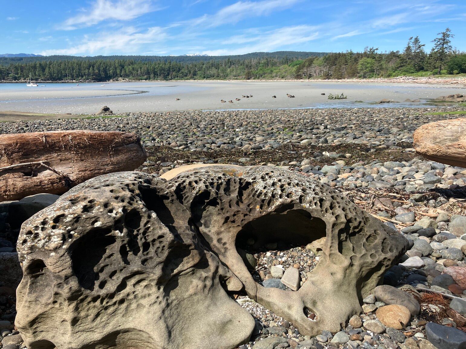
© BC Parks Campfire ban in effect at this locationTribune Bay Provincial Park
— · BC Park · 75 sites65GreatPavedcampfire banhas photoscuratedwaterlakedrive (one-way)688 kmdrive time10h 51mround-trip$272.30165.0 LSaSuMo23°/13° · mixedBoat launchHikingSwimmingFishingBiking+31 km· Gas Bar10 km· BowserNearby MTB (1)- Comox Valley~30 km
Reservation requiredSource ↗Tribune Bay Park is on Hornby Island. It has almost 1 km of fine, white-sand beach leading into the Straight of Georgia’s warm waters. There are views of unusual rock formations along the shoreline and many wildflowers in the spring. This park includes Tribune Bay Campground, a 75-site frontcountry camping area, with electrified sites, cabins , and a playground . In peak season, sites can be booked through the BC Parks reservation service . The park also has a day-use area with a picnic shelter , and outhouses. The day-use area also includes a tennis court maintained by the Hornby Island Tennis Association. Downtown Hornby Island is a short walk away, offering shops and services. Many visitors to the area enjoy walking along the bluffs in nearby Helliwell Park and cycling in nearby Moun…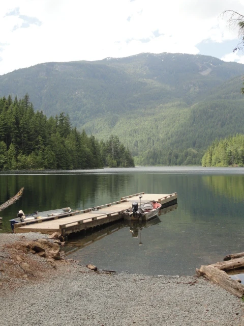
© Recreation Sites and Trails BC Campfire ban in effect at this locationWeaver Lake
West Harrison · Rec Site · 38 sites64Great4x4 onlycampfire banhas photoscuratedgood sizelakedrive (one-way)313 kmdrive time4h 42mround-trip$124.0775.2 LSaSuMo24°/14° · 1 wet dayBoat launchHikingLakeFishingPit toilet7 km· Fas Gas6 km· Sts'a'í:les / Sts'ailes1 km· Francis Lake7 km· Harrison Hot SpringsNearby attractions (1)- Harrison Recreation Site10.2 km
First-come, first-servedSource ↗Weaver Lake Rec Site has implemented a $10 Visitor Fee. The Visitor Fee must be paid in CASH and will apply to ANY vehicle on the Weaver Lake Rec Site for a MAX 4 Hour visit per vehicle (excluding paid overnight campers). The gate will be closed when the day use area is full and there will be no access for additional vehicles. This site is a medium sized campsite on a stocked fishing lake. This site is popular with anglers and families. A boat launch is available along with a dock for use by boaters with small boats with a maximum of 7.5 kw or 10 hp motor restriction. South Weaver Group sit…- Campfire ban in effect at this location
Saltery Bay Provincial Park
— · BC Park · 42 sites67GreatPavedcampfire banwet forecastcuratedgood sizewaterdrive (one-way)531 kmdrive time8h 1mround-trip$210.11127.3 LSaSuMo21°/15° · 1 wet dayHikingBoat launchFishingSwimmingBiking+422 km· Vanderkemp Sales And Services11 km· Lang Bay4 km· Rainy Day LakeNearby attractions (2)- A-Branch Cabin13.0 km
- E-Branch Cabin14.7 km
Mixed (some reservable)Source ↗Saltery Bay Park was established in 1962 to provide ocean access on the Sunshine Coast of Georgia Strait. The park is divided into two separate sites: the campground and the day-use area. The day-use area with its rocky beaches is a popular swimming and picnic site. Lush forests with large, old trees create a quiet setting for the campground at Mermaid Cove. At low tide, the rocky shoreline often has tidal pools with starfish, sea urchins, small fish and crabs. Scuba diving provides a close-up look at the abundant marine life and a 3 m bronze mermaid statue. The Emerald Princess statue and wheelchair access ramp were placed in the park through efforts of local scuba enthusiasts. From the shore, killer whales and sea lions can sometimes be seen. Mounds of seashells called “middens” indic… 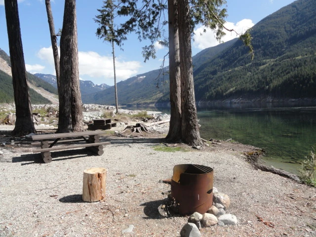
© Recreation Sites and Trails BC Campfire ban in effect at this locationSkwellepil Creek
West Harrison · Rec Site · 10 sites66Great4x4 onlycampfire banwet forecasthas photoscuratedgood sizedrive (one-way)320 kmdrive time6h 1mround-trip$126.6376.7 LSaSuMo25°/13° · 1 wet daySwimmingFishingBoat launchHikingPit toilet+118 km· Fas Gas19 km· Sts'a'í:les / Sts'ailes1 km· Chehalis Lake23 km· Harrison Hot SpringsFirst-come, first-servedSource ↗ACCESS TO SKWELLEPIL CREEK REC SITE IS HIGH CLEARANCE 4X4 ONLY. THREE LARGE WATERBARS HAVE BEEN DUG INTO THE ENTRANCE AS OF SUMMER 2022. Skwellepil Creek campsite has changed status to a wilderness site only. This designation means it is still open to the public but no maintenance services will be provided. Available campsite locations will also be reduced. Sites are first come first serve, no reservation system is in place. Please be respectful and pack it in, pack it out. The access road to this site will also receive minimal maintenance and access will be high clearance 4x4 only.© BC Parks Campfire ban in effect at this locationGolden Ears Backcountry
— · BC Park · 435 sites65GreatPavedcampfire banwet forecasthas photoscuratedwaterdrive (one-way)405 kmdrive time8h 57mround-trip$160.4297.2 LSaSuMo23°/12° · 1 wet dayHikingSwimmingBoat launchFishingBiking+431 km· Petro-Canada31 km· Stave Falls7 km· Judicator Lake29 km· Pitt River Hot SpringMixed (some reservable)Source ↗Golden Gate/X̱áat Yádi Aani Conservancy was established as a result of the Wóoshtin Wudidaa Atlin Taku Land Use Plan and Taku River Tlingit First Nation Strategic Engagement Agreement. The conservancy is a high value Tlingit landscape that includes important cultural and recreational features in the islands, bays and shoreline at the junction of Tagish Lake and Graham Inlet. The Tlingit name (X̱áat Yádi Aani) refers to a village located close to the place where humpback whitefish congregated. The conservancy is located approximately 35 kilometres northwest from Atlin in the asserted traditional territory of the Taku River Tlingit and Carcross/Tagish First Nations.© BC Parks Campfire ban in effect at this locationGolden Ears Provincial Park
— · BC Park · 435 sites65GreatPavedcampfire banwet forecasthas photoscuratedwaterdrive (one-way)405 kmdrive time8h 57mround-trip$160.4297.2 LSaSuMo23°/12° · 1 wet dayHikingSwimmingBoat launchFishingBiking+431 km· Petro-Canada31 km· Stave Falls7 km· Judicator Lake29 km· Pitt River Hot SpringMixed (some reservable)Source ↗Golden Ears Park is one of B.C.’s largest parks and one of the province’s most popular camping destinations. With recreation opportunities just over an hour east of Vancouver, the park draws visitors from across the Lower Mainland, and beyond. The park offers these visitors three large campgrounds and an extensive system of hiking and horseback-riding trails. Alouette Lake, meanwhile, is a popular spot for swimming, windsurfing, water-skiing, canoeing, boating, and fishing. The landscape of Golden Ears Park offers an excellent example of B.C.’s coastal western hemlock forest. The park’s extensive backcountry is mountainous and extremely rugged. Brochures Golden Ears Park information guide (for reading on your computer or phone) [PDF] Golden Ears Park information guide (for printing) [PDF]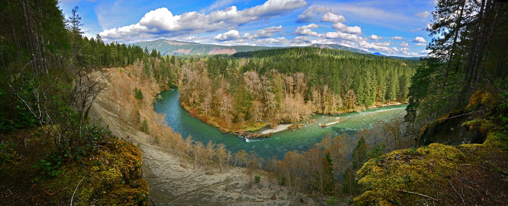
© BC Parks Campfire ban in effect at this locationCowichan River Provincial Park
— · BC Park · 43 sites67GreatPavedcampfire banwet forecasthas photoscuratedgood sizedrive (one-way)549 kmdrive time8h 28mround-trip$217.37131.7 LSaSuMo18°/7° · 1 wet dayHikingBoat launchSwimmingFishingBiking+311 km· Gas n Go9 km· Sahtlam4 km· Mayo LakeNearby MTB (1)- Cowichan~15 km
Mixed (some reservable)Source ↗If it’s outdoor recreation you’re after, Cowichan River Park on southern Vancouver Island is the place to go. Whether you want to go swimming, canoeing, white-water kayaking, camping, fishing, hiking, or just want to take it easy in the sun, you’re bound to find something to do in this “recreation corridor” south of Duncan. This spectacular park protects significant stretches of the Cowichan River, which is designated as both a BC Heritage River and a Canadian Heritage River , and is internationally renowned for its wild salmon and steelhead fishery. The park is adjacent to an abandoned rail right-of-way, which provides recreation opportunities for cyclists, hikers and horseback riders. While staying at the park, visitors can enjoy other features of Cowichan River Park. These include th…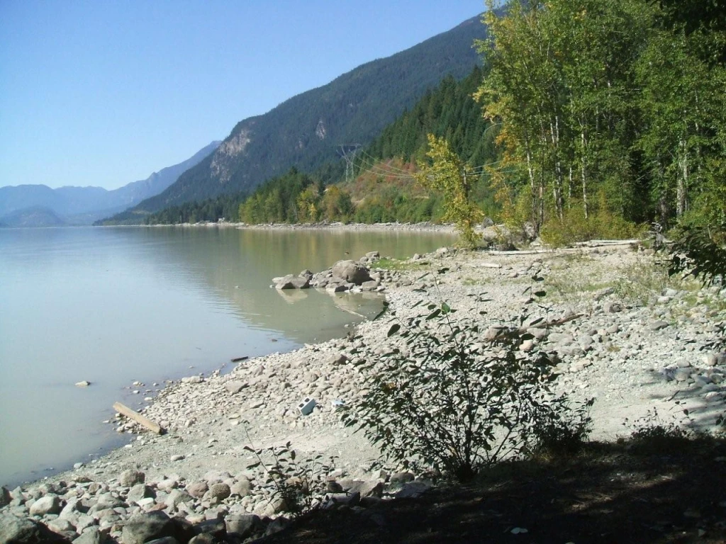
© Recreation Sites and Trails BC Campfire ban in effect at this locationTwin One Creek
Lillooet Lake · Rec Site · 15 sites61GreatGravelcampfire banwet forecasthas photoscuratedgood sizedrive (one-way)381 kmdrive time6h 8mround-trip$151.0591.5 LSaSuMo27°/15° · 1 wet daySwimmingPit toiletLakeBoat launchFirepit18 km· Chevron18 km· Líl̓wat / Mount Currie7 km· Moat Lake44 km· August Jacob's Hot Spring13 km· Joffre Lakes TrailNearby MTB (2)- Flow State Guiding Heli Biking~23 km
- Pemberton~23 km
First-come, first-servedSource ↗A mid sized campsite-somewhat open on the large jade coloured Lillooet lake, with 2 small grassy areas. Two or three sites can accommodate an RV. two entrances, the first one is steep, the second one is less steep. Small unimproved boat launch on site-beware when boating there is a lot of large woody debris in the lake. Twin One Creek nearby. Berry bushes on site-watch for bears. Tables, fire rings, garbage pick up and outhouses on site. <BR><BR> Please self register and pay the camping fees using the yellow collection box. A site operator will be by periodically to check the sites.
© BC Parks Campfire ban in effect at this locationPlumper Cove Marine Park
— · BC Park · 20 sites67GreatPavedcampfire banwet forecasthas photoscuratedgood sizedrive (one-way)432 kmdrive time5h 52mround-trip$170.91103.6 LSaSuMo23°/14° · 1 wet dayHikingBoat launchFishingSwimmingBiking+34 km· Petro-Canada1 km· Plumper Cove8 km· Grafton LakeNearby attractions (1)- Sprockids Trail4.1 km
Nearby MTB (3)- Sunshine Coast~22 km
- Grouse Bike Park~28 km
- North Shore~28 km
First-come, first-servedSource ↗This marine park is a snug anchorage on the northwest side of Keats Island. Plumper Cove Marine Park is accessible by passenger ferry from Langdale to Keats Landing followed by a 2 km walk to the park. A developed area with forested walk-in campsites, fire rings, water and a trail system. Marine facilities include a wharf and mooring buoys. Small boats may be pulled up on the shore. The pebble beach is great for swimming and picnicking. Observatory Point provides views of Howe Sound and the town of Gibsons.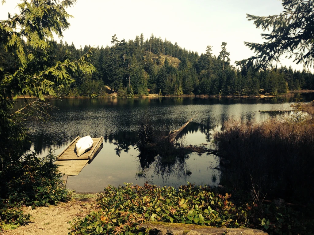
© Recreation Sites and Trails BC Campfire ban in effect at this locationWood Lake
West Harrison · Rec Site · 35 sites62GreatGravelcampfire banhas photoscuratedgood sizelakedrive (one-way)321 kmdrive time4h 40mround-trip$126.9676.9 LSaSuMo25°/13° · mixedBoat launchSwimmingLakeFishingHiking+118 km· Fas Gas18 km· Sts'a'í:les / Sts'ailes3 km· Barnet Lake18 km· Harrison Hot SpringsFirst-come, first-servedSource ↗A large semi-open site with three separated camping areas, one on each side of the lake, and one tucked behind the south end sites. Wood Lake is a great fishing lake, however no power boats are allowed. <BR><BR>The campsites are available on a first-come, first-served basis, however up to 60% are available for reservations. Reservations will not be taken further than 30 days in advance. For complete reservation, payment and site information visit <a href="http://www.westharrisonreservations.com" target="_blank">www.westharrisonreservations.com</a> for more information. This is a CASH ONLY s…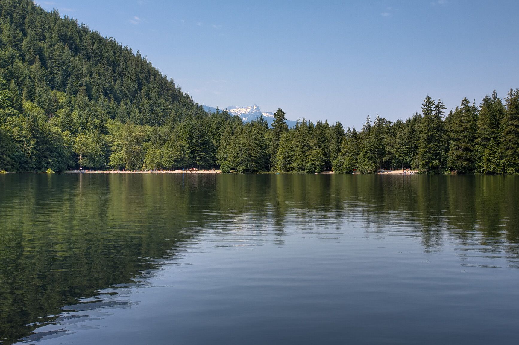
© BC Parks Campfire ban in effect at this locationAlice Lake Provincial Park
Sea-to-Sky · BC Park · 107 sites77GreatPavedcampfire banwet forecasthas photoscuratedwaterdrive (one-way)464 kmdrive time5h 58mround-trip$183.60111.3 LSaSuMo17°/6° · mostly wetLakeSwimmingBikingMTB trailsHiking+53 km· Petro-Canada9 km· Squamish1 km· Alice Lake32 km· Pitt River Hot Spring1 km· Alice Lakes TrailheadNearby attractions (3)Nearby MTB (1)- Squamish~9 km
Mixed (some reservable)Source ↗Alice Lake is a popular family park surrounded by towering mountains, dense forests, and grassy areas. Four freshwater lakes dominate the landscape, making this a great park for swimming and fishing. The trail around Alice Lake is a popular spot for evening strolls while more adventurous hikers, will enjoy the Four Lakes Trail . The DeBeck’s Hill Trail , meanwhile, offers excellent views of the Squamish River and the Tantalus Range.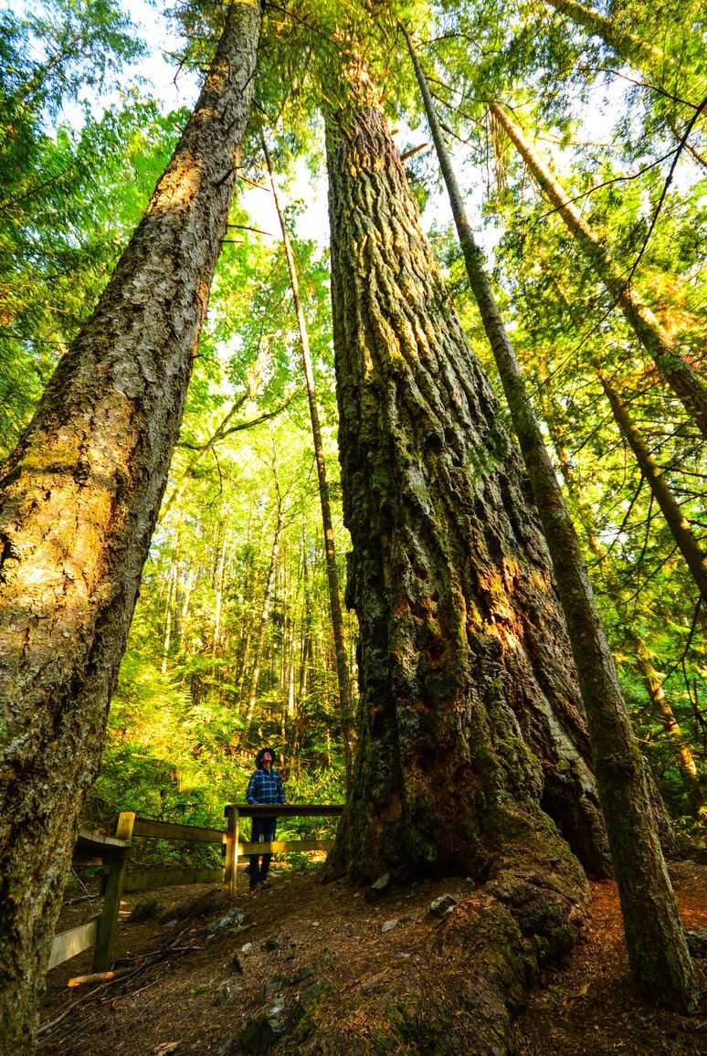
© BC Parks Campfire ban in effect at this locationCultus Lake Provincial Park
— · BC Park · 298 sites65GreatPavedcampfire banwet forecasthas photoscuratedwaterdrive (one-way)305 kmdrive time3h 45mround-trip$120.7073.2 LSaSuMo20°/10° · 1 wet dayHikingSwimmingFishingBoat launchBiking+43 km· Esso2 km· Cultus Lake1 km· Cultus Lake32 km· Harrison Hot Springs1 km· Teapot Hill TrailheadMixed (some reservable)Source ↗As one of the most popular destination areas in the Lower Mainland, Cultus Lake Park is characterized by a large, warm freshwater lake and scenic forest-clad mountains. The park is almost evenly divided between the northwest and southeast sides of Cultus Lake. The northwest portion is mostly undeveloped with the visitor-oriented facilities confined to the southeast portion. Just an hour and a half drive away from Vancouver, Cultus Lake Park has four campgrounds, a large day-use area for picnicking and boating, and ample opportunity for fishing, water skiing, wind surfing, and hiking. The park is near the small community of Cultus Lake. This community offers waterslides, two golf courses, bumper boats, go-karts, as well as canoe, boat, and jet ski rentals. There is also a marina, miniatu…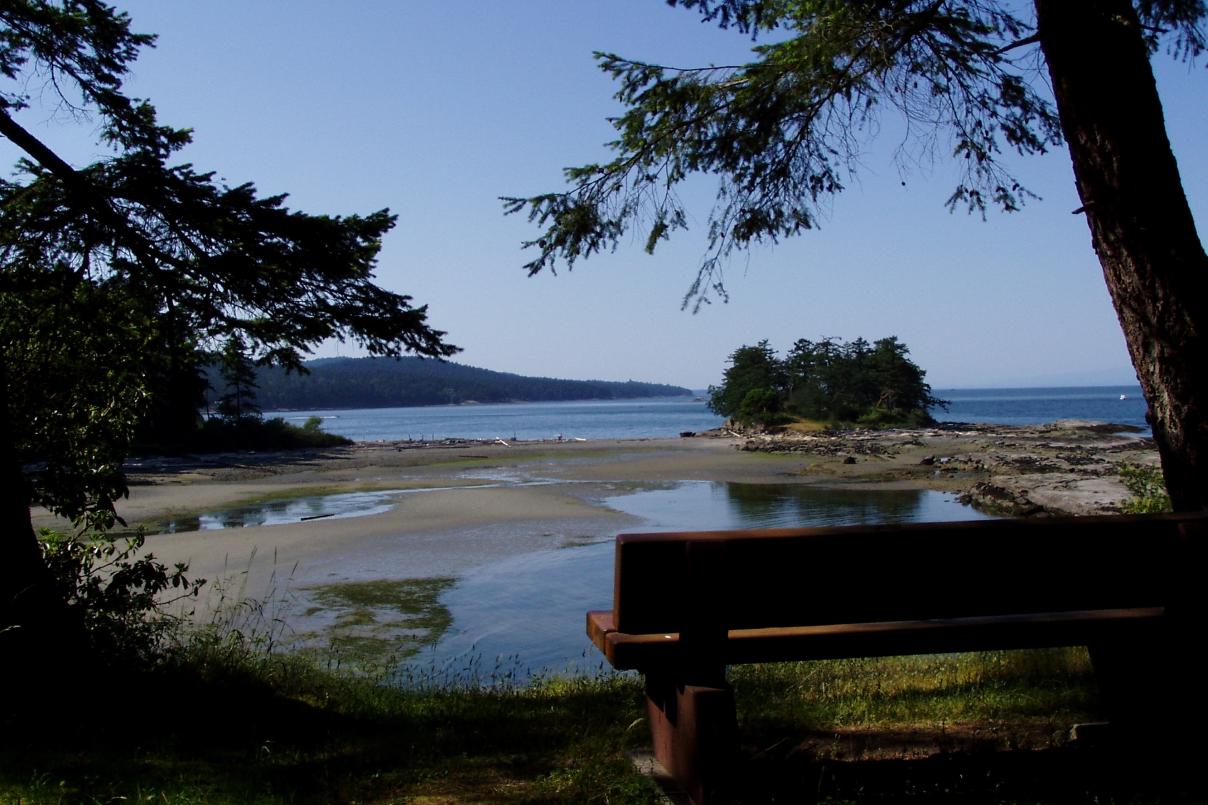
© BC Parks Campfire ban in effect at this locationDionisio Point Provincial Park
— · BC Park56GoodPavedcampfire banhas photoscuratedwaterlakedrive (one-way)497 kmdrive time8h 36mround-trip$196.63119.2 LSaSuMo20°/16° · looking greatHikingSwimmingFishingBikingPit toilet+214 km· Canco7 km· Spune’luxutth8 km· Laughlin LakeNearby MTB (1)- Cowichan~27 km
Mixed (some reservable)Source ↗Dionisio Point Park on quaint Galiano Island features rocky headlands flanked by sandy beaches and picturesque bays. Overlooking Porlier Pass, this park is accessible by boat only and provides opportunities for walk-in camping, fishing, boating, kayaking, wildlife viewing and scuba diving. The forested uplands at Dionisio Point are rimmed by a varied and unique shoreline that includes sculpted sandstone shelves, pebble and sand beaches, and colorful wildflower meadows. Fast flowing tidal currents have created a rich intertidal life. Sea-stars, nudibranchs, and chitons can be seen in the tide pools, and at times large quantities of swimming scallop shells can be found on the beaches. This Gulf Island park has a rich human history. Large mounds along the shores mark the shell middens (ref…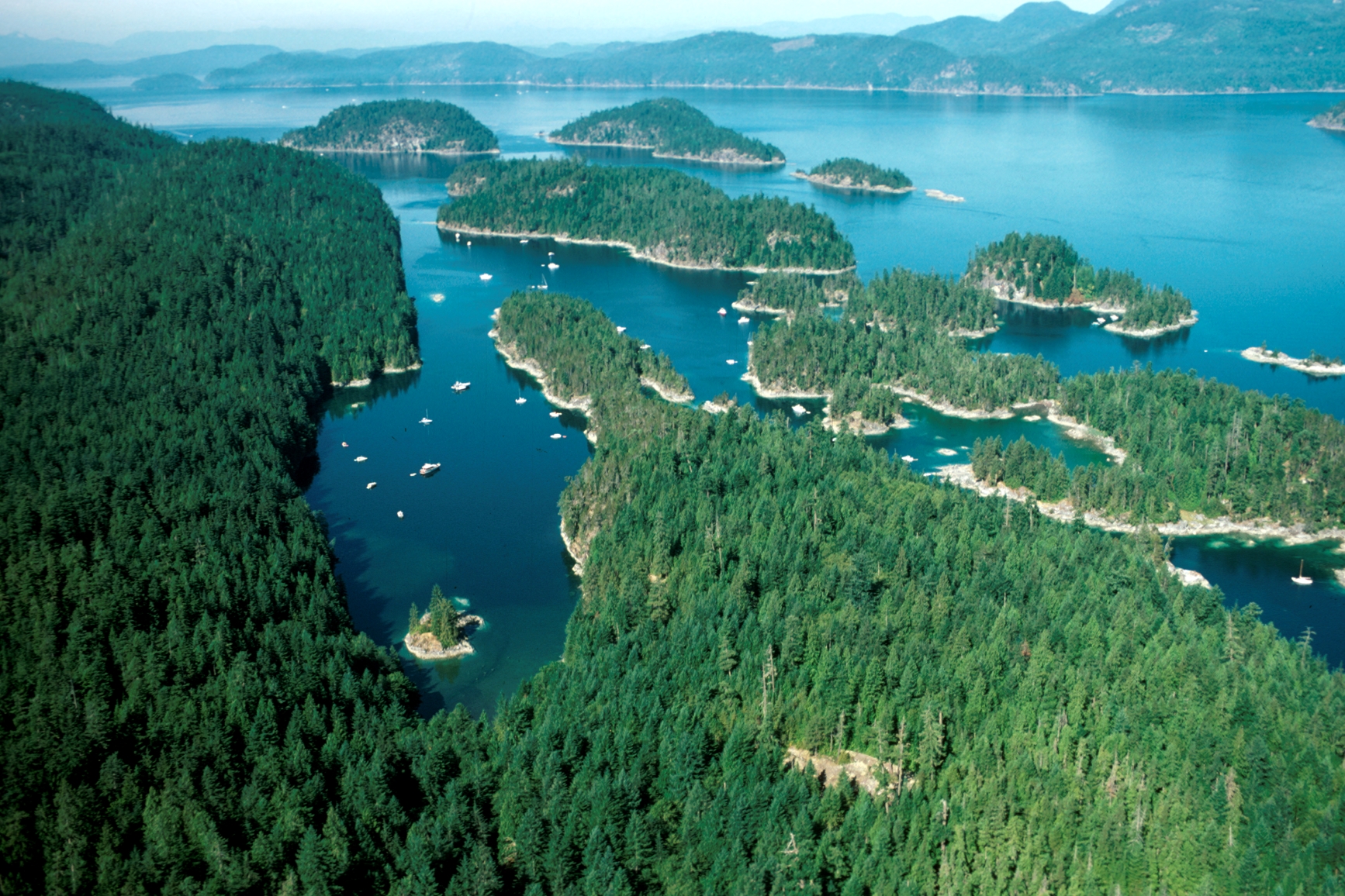
© BC Parks Campfire ban in effect at this locationDesolation Sound Marine Park
— · BC Park · 47 sites62GreatPavedcampfire banwet forecasthas photoscuratedgood sizedrive (one-way)590 kmdrive time9h 26mround-trip$233.58141.6 LSaSuMo21°/13° · 1 wet dayBoat launchSwimmingHikingFishingPit toilet+114 km· Squirrel Cove General Store8 km· Bliss Landing6 km· Unwin LakeMixed (some reservable)Source ↗Desolation Sound Marine Park has more than 60 km of shoreline, several islands, numerous small bays, and snug coves. The warm waters of the park are ideal for swimming and scuba diving. The forested upland offers a shady refuge of trails. This park is a very popular boating and kayaking destination, located at the confluence of Malaspina Inlet and Homfray Channel. Yachters have been enjoying the spectacular vistas and calm waters for generations. Kayakers enjoy exploring the islands and coves that make up the unique shoreline. This park can be split up into three major destination anchorages: Prideaux Haven, Tenedo’s Bay, and Grace Harbour. Prideaux Haven: A very popular anchorage, strategically located as a base for exploring the Sound. This anchorage is an elongated bay dotted with is…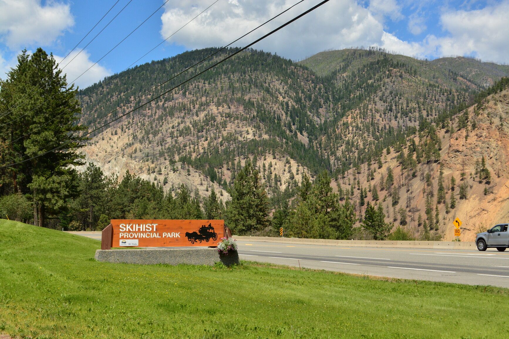
© BC Parks Campfire ban in effect at this locationSkihist Provincial Park
— · BC Park · 58 sites58GoodPavedcampfire banhas photoscuratedwaterlots to dodrive (one-way)220 kmdrive time2h 58mround-trip$87.1652.8 LSaSuMo29°/14° · looking greatHikingBoat launchFishingBikingPit toilet+25 km· Gwsep Gas Station5 km· Klickkumcheen 18Mixed (some reservable)Source ↗Skihist Ecological Reserve was established for conservation of undisturbed ponderosa pine and grassland vegetation. Ecological reserves protect special natural ecosystems, and support research and education. They are not intended for outdoor recreation. However, this ecological reserve is open to the public for non-destructive activities like hiking, nature observation and photography. Consumptive activities like hunting, fishing, camping, or foraging are prohibited. Motorized vehicles are not allowed.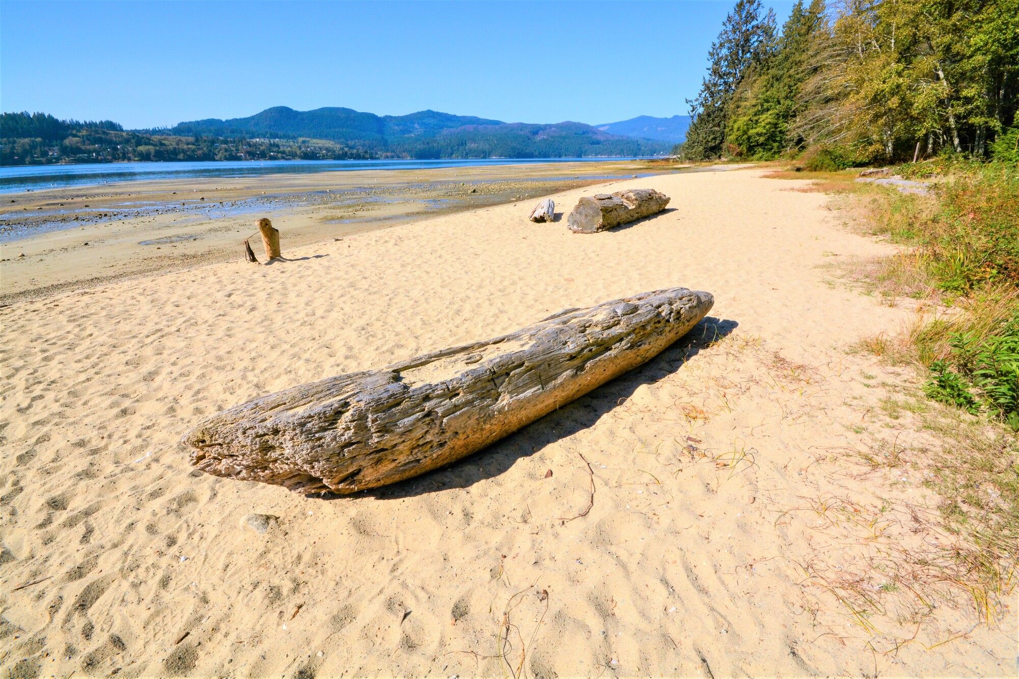
© BC Parks Campfire ban in effect at this locationPorpoise Bay Provincial Park
— · BC Park · 94 sites60GreatPavedcampfire banwet forecasthas photoscuratedwaterdrive (one-way)460 kmdrive time6h 24mround-trip$182.06110.3 LSaSuMo22°/15° · 1 wet dayHikingBoat launchFishingSwimmingBiking+33 km· Columbia Fuels4 km· Sechelt3 km· Burnett LakeNearby attractions (3)- Sechelt Heritage Forest2.0 km
- Trout Lake9.2 km
- Dakota Ridge10.4 km
Nearby MTB (1)- Sunshine Coast~4 km
Mixed (some reservable)Source ↗Porpoise Bay Park on the Sunshine Coast offers many opportunities for coastal fun and is a favourite family park. The park is separated from the Strait of Georgia by the isthmus at Sechelt. It is characterized by second-growth forest, open grassy areas, and sandy beaches. Porpoise Bay Park also makes an excellent basecamp for paddlers exploring the Sechelt Inlet.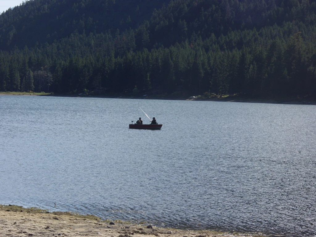
© Recreation Sites and Trails BC Campfire ban in effect at this locationKwotlenemo (Fountain) Lake
Lillooet · Rec Site · 24 sites60GreatGravelcampfire banhas photoscuratedgood sizelakedrive (one-way)285 kmdrive time4h 22mround-trip$112.7568.3 LSaSuMo17°/3° · looking greatSwimmingBoat launchLakeFishingPit toilet9 km· Canco7 km· Fish Lake 71 km· Kwotlenemo (Fountain) LakeFirst-come, first-servedSource ↗Also known as Fountain Lake, Kwotlenemo Lake hosts four separate recreation site areas with fees surrounding the lake that are popular to fishermen and campers. The 4 sites can accommodate all sizes of rigs with the larger sites being on the north and south ends of the lake while the east and west sites are more suitable for truck campers and tenters. The area is also popular for nature viewing and hiking. A good boat launch is located on the northern end of the lake. The fees for services are determined based on a detailed analysis of historical seasonal weather patterns. Site operators po…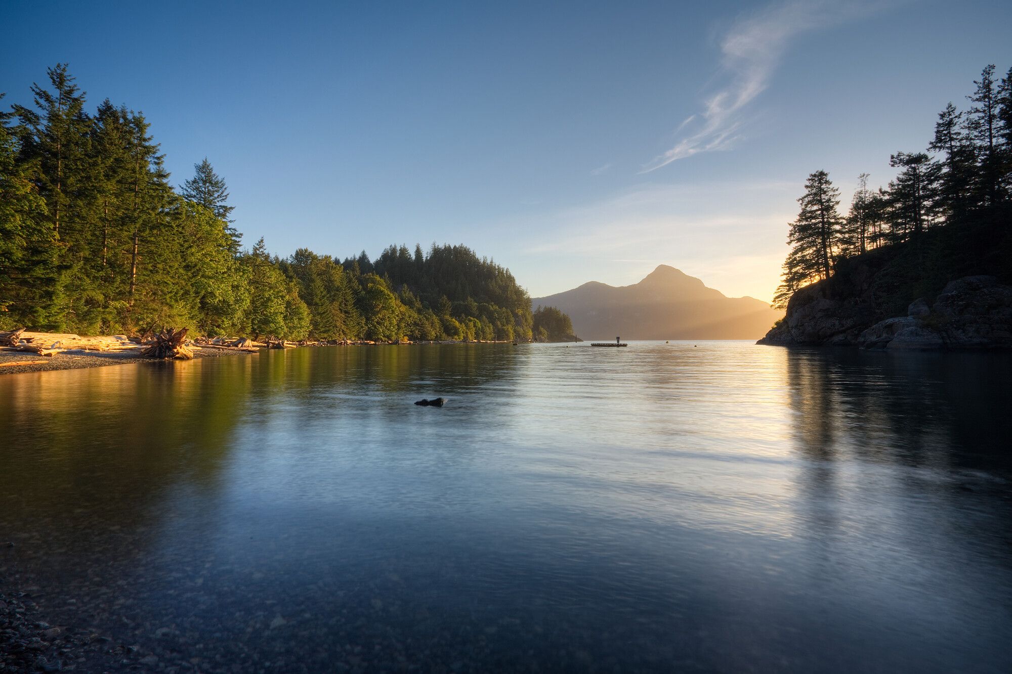
© BC Parks Campfire ban in effect at this locationPorteau Cove Provincial Park
Sea-to-Sky · BC Park · 60 sites60GreatPavedcampfire banwet forecasthas photoscuratedwaterdrive (one-way)433 kmdrive time5h 24mround-trip$171.40103.9 LSaSuMo21°/16° · 1 wet daySwimmingPotable waterBikingHikingBoat launch+316 km· Squamish Valley Gas Bar1 km· Furry Creek3 km· Lost Lake40 km· Pitt River Hot Spring10 km· Lions TrailheadNearby MTB (3)- Squamish~16 km
- Grouse Bike Park~23 km
- North Shore~24 km
Mixed (some reservable)Source ↗Situated on the most southerly fjord in North America, Porteau Cove Provincial Park features waterfront campsites with a view over Howe Sound to the mountains beyond. An old ship has been sunk to provide interest for scuba divers and to attract marine life. There are special facilities for divers. Adjacent train tracks are active and occasional noise disturbance may occur. Take a virtual tour of Porteau Cove Park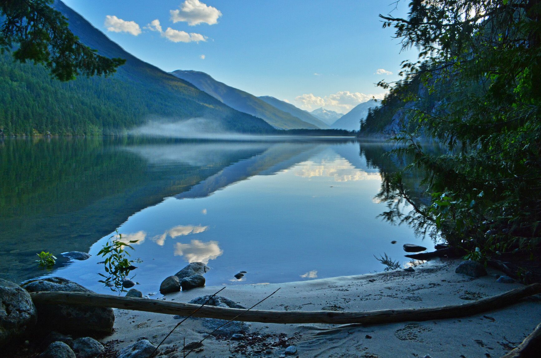
© BC Parks Campfire ban in effect at this locationNahatlatch Lake Campsite
— · BC Park55GoodPavedcampfire banhas photoscuratedlakelots to dodrive (one-way)303 kmdrive time4h 53mround-trip$119.9772.7 LSaSuMo24°/12° · looking greatLakeHikingBoat launchSwimmingFishing+325 km· Fas Gas16 km· Kanaka Bar2 km· Nahatlatch Lake36 km· Clear Creek Hot SpringsNearby attractions (1)- Nahatlatch Lookout10.4 km
Mixed (some reservable)Source ↗Nahatlatch Park is characterized by scenic mountain peaks and glaciers, old growth forests, and a unique lake and river system. This park protects one of the largest intact wetlands remaining in the Lower Mainland. A series of small streams flow into, out of, and between the three lakes in the park named Frances, Hannah, and Nahatlatch. Their waters drain into the Nahatlatch River, which is 20 km upstream from its confluence with the Fraser. The powerful Nahatlatch River features a spectacular series of rapids, ideal for river rafting and kayaking. Those seeking a more tranquil experience will enjoy canoeing around and between the placid lakes, swimming in the backwater pools, and fishing along the lakeshores. Other activities for summer recreationists include backcountry hiking, and bi…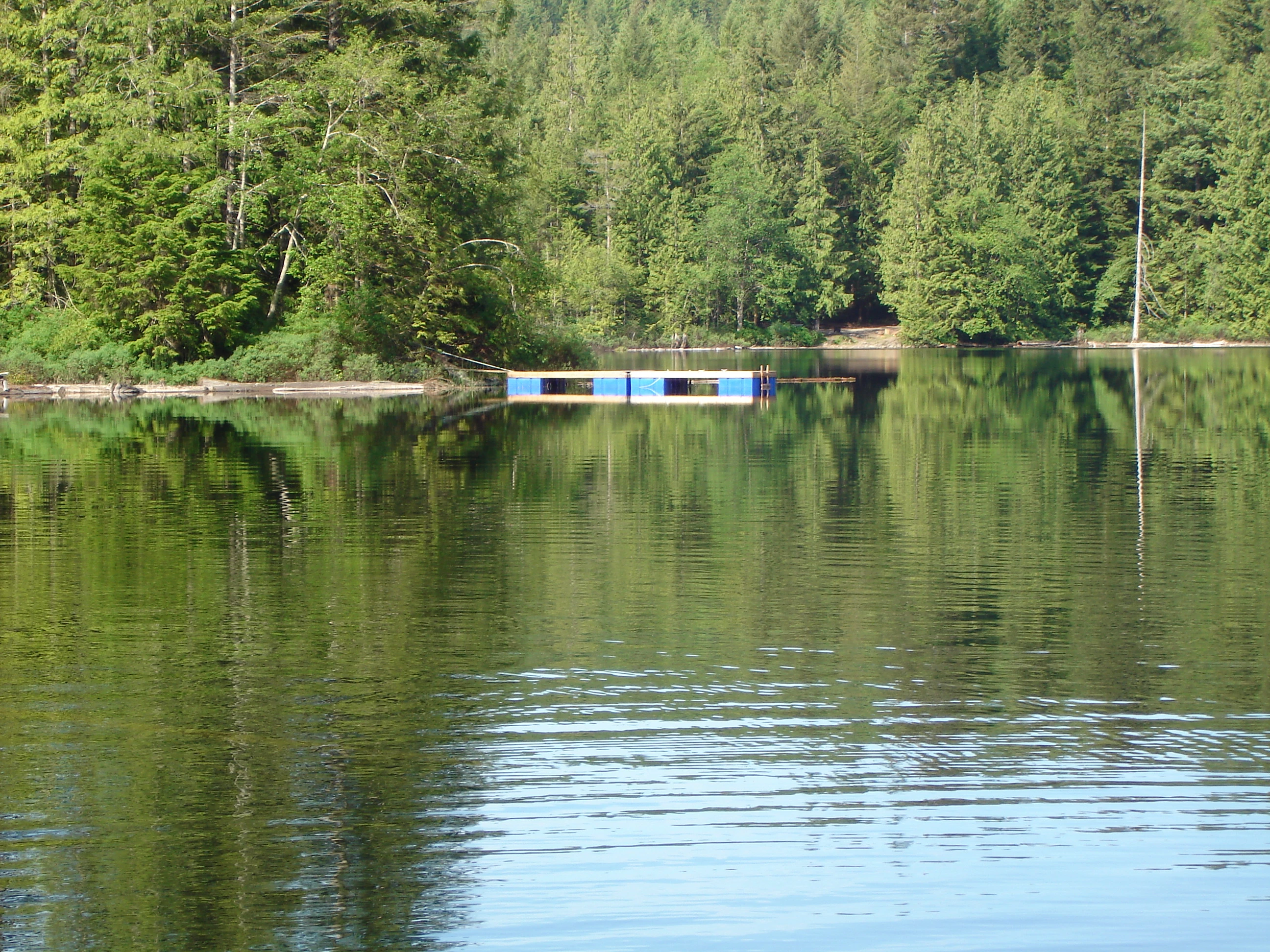
© Recreation Sites and Trails BC Campfire ban in effect at this locationKlein Lake
Egmont · Rec Site · 23 sites62GreatGravelcampfire banwet forecasthas photoscuratedgood sizedrive (one-way)514 kmdrive time7h 29mround-trip$203.65123.4 LSaSuMo23°/13° · 1 wet daySwimmingHikingLakeFishingBoat launch+110 km· Petro-Canada4 km· EgmontFirst-come, first-servedSource ↗Klein Lake is a beautiful and quiet lake, ideal for fishing and canoeing. The campsites are located all around the lake, and are all drive-in sites. There is on-site supervision. Cell phone reception is hit and miss in most of the campsite. <BR> <BR> This lake is home to the rare and endangered Western Painted Turtle, please keep your dog on a leash. There are docks around the lake to prevent degradation of the lakeshore, where the turtles nest. <BR><BR> The site is open over the off-season, fees are in effect from April to October. <BR><BR> This is a CASH ONLY site. For additional informat…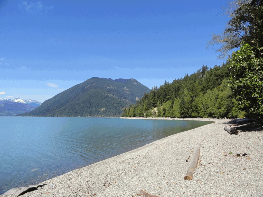
© Recreation Sites and Trails BC Campfire ban in effect at this locationCogburn Beach
East Harrison · Rec Site · 25 sites60GreatGravelcampfire banhas photoscuratedgood sizelakedrive (one-way)309 kmdrive time6h 9mround-trip$122.4974.2 LSaSuMo25°/13° · mixedSwimmingBoat launchPit toiletLakeFishing24 km· Husky21 km· Sq'ewá:lxw / Skawahlook5 km· Comet Lake19 km· Clear Creek Hot SpringsFirst-come, first-servedSource ↗This site stretches along a beautiful gravel beach and offers a more rustic camping experience on Harrison Lake. Ample room exists along the waterfront for numerous camping spots and a limited number of camp pads are located in a treed area accessible by foot along short trails from the road. Site is popular for swimming, fishing and boating. <BR><BR>This is a CASH ONLY site and has on-site supervision. For reservations, additional information and updates, please visit <a href="http://www.harrisoneastcamping.com" target="_blank">www.harrisoneastcamping.com</a>. <BR><BR> Payment for camping …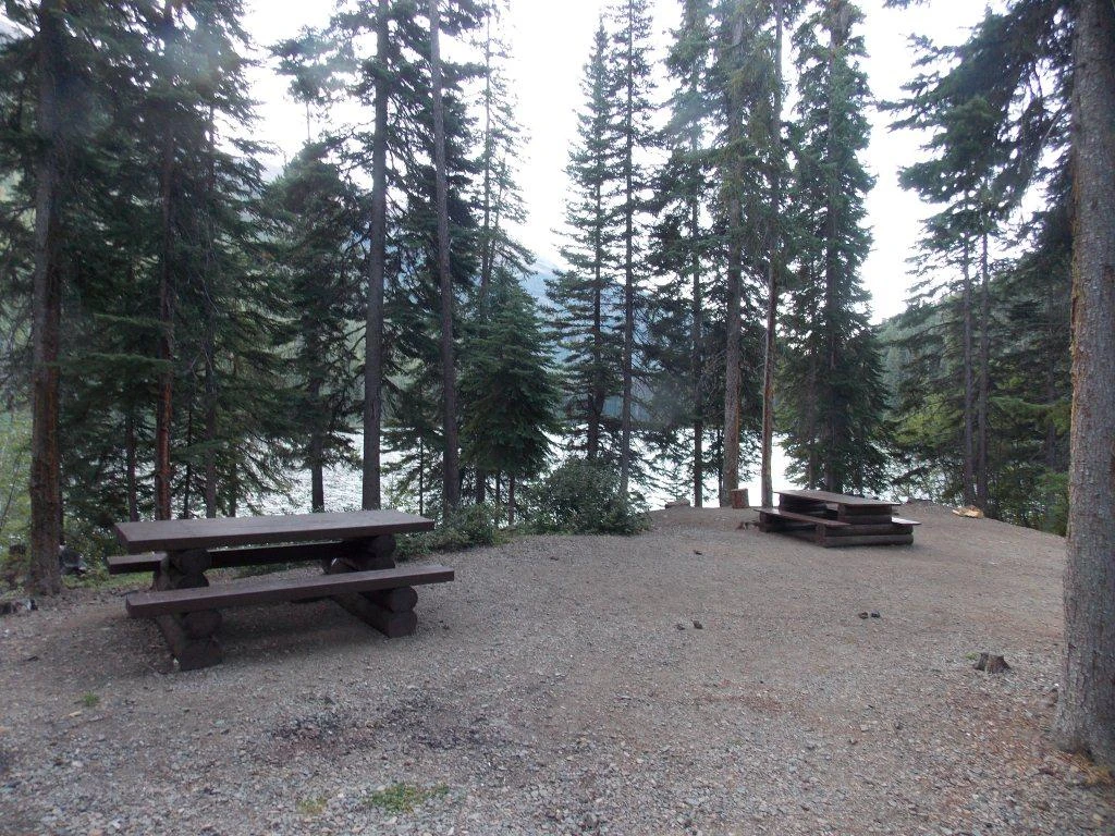
© Recreation Sites and Trails BC Campfire ban in effect at this locationKingdom Lake
Goldbridge · Rec Site · 15 sites66Great4x4 onlycampfire banwet forecasthas photoscuratedgood sizedrive (one-way)408 kmdrive time6h 40mround-trip$161.5497.9 LSaSuMo19°/10° · mostly wetSwimmingLakeFishingBoat launchHiking+16 km· Esso3 km· Bralorne49 km· Etta's Secret SpringNearby MTB (2)- South Chilcotin~5 km
- Tyax Adventures~6 km
First-come, first-servedSource ↗A pretty lake with mountain views. There are 15 sites located here with 1 good boat launch at the notherm end of the lake. Activities include canoeing,swimming and fishing. A 3.2 km trail (one way) on the north end of the lake leads past the walk in Noel Lake campsite and to Lost Lake campsite that is a nice, intermediate difficulty rated hike.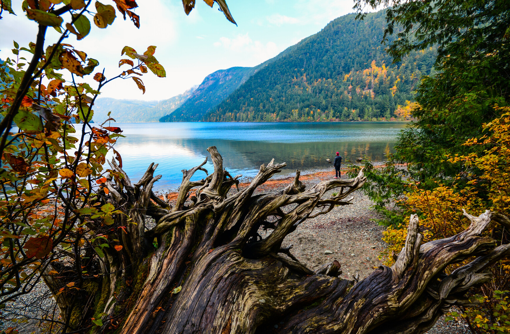
© Iain Robert Reid / BC Parks Campfire ban in effect at this locationLittle Qualicum Falls Provincial Park
— · BC Park · 104 sites65GreatPavedcampfire banwet forecasthas photoscuratedwaterdrive (one-way)636 kmdrive time9h 37mround-trip$251.92152.7 LSaSuMo19°/10° · 1 wet dayHikingSwimmingFishingBoat launchBiking+49 km· Petro-Canada5 km· Meadowood4 km· St. Mary Lake1 km· CPR TrailheadNearby MTB (2)- Funship~16 km
- Parksville~22 km
Mixed (some reservable)Source ↗Little Qualicum Falls Park, in the central Vancouver Island area, straddles the Little Qualicum River and incorporates the entire southern shore of Cameron Lake. Impressive waterfalls cascade down a rocky gorge in a beautiful forest setting bordered by steep mountain peaks, making this one of the area’s most beautiful parks. The falls, lake swimming, shaded riverside trails, and picnic facilities make Little Qualicum Falls a very popular family destination. A number of walking trails are available in and around the park. These offer picturesque views of the river and provide access to the upper and lower falls. Cameron Lake is a great spot for swimming and fishing. It is also ideal for sailboarding, due to a wind funnel created by the surrounding mountains. Cameron Lake and Beaufort day…- Campfire ban in effect at this location
Inland Lake Provincial Park
— · BC Park · 22 sites67GreatPavedcampfire banwet forecastcuratedgood sizewaterdrive (one-way)574 kmdrive time9h 4mround-trip$227.20137.7 LSaSuMo21°/12° · 1 wet dayHikingBoat launchSwimmingFishingBiking+49 km· Top of The Hill Grocery & Gas Bar11 km· t̓ɩšosəm3 km· Confederation LakeMixed (some reservable)Source ↗Prior to 1997, this park was a Forest Service Recreation area. Inland Lake Park was established as a provincial park in 1997. There are drive-in and walk-in campsites available at this park, as well as opportunities for swimming, cycling, fishing, canoeing and boating (less than 10 hp). The park includes a low barrier, although not entirely wheelchair accessible, 13 km loop trail around the lake. 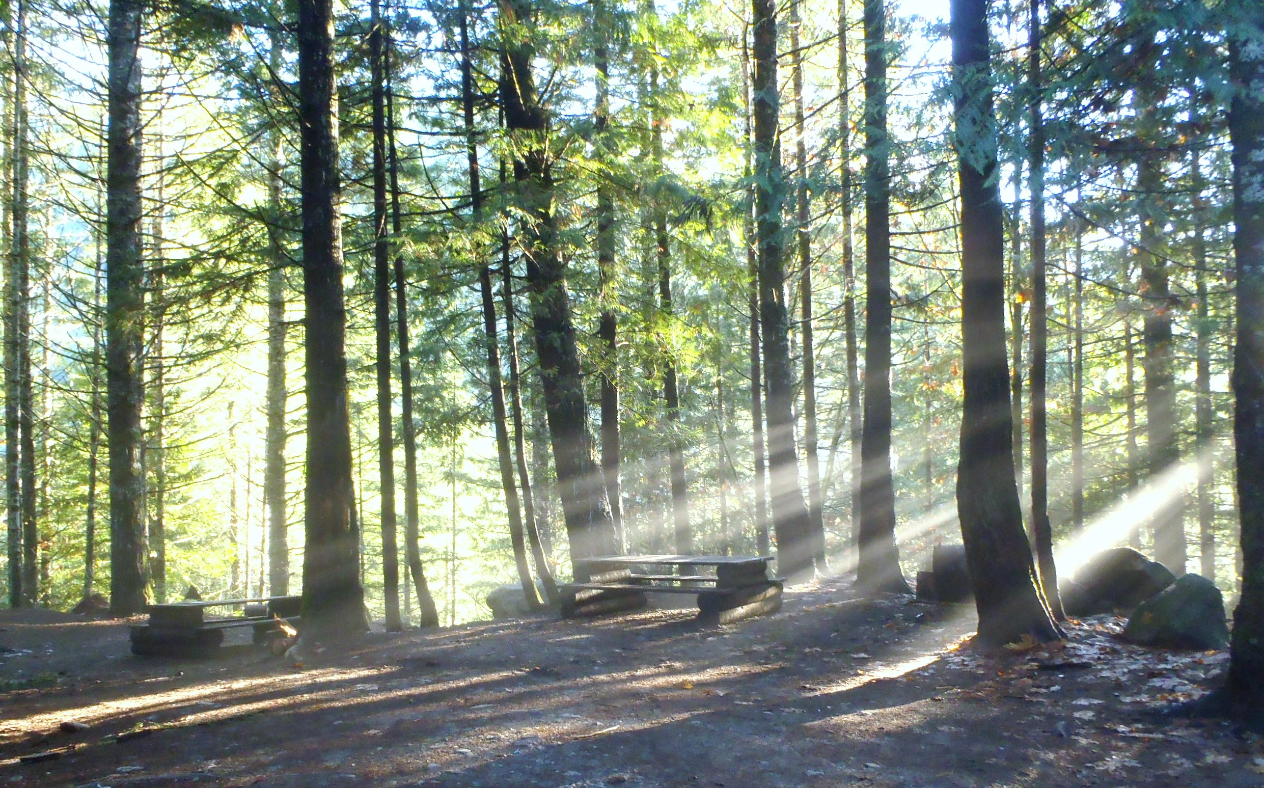
© Recreation Sites and Trails BC Campfire ban in effect at this locationSloquet Hot Springs
West Harrison · Rec Site · 20 sites56Good4x4 onlycampfire banwet forecasthas photoscuratedgood sizedrive (one-way)392 kmdrive time8h 17mround-trip$155.3294.1 LSaSuMo26°/14° · 1 wet dayHikingPit toiletLakeFirepit9 km· Xa'xtsa Gas Bar & C-store10 km· Tipella18 km· August Jacob's Hot SpringFirst-come, first-servedSource ↗The In-Shuck Forest Service Road is the main form of access. Access via the West Harrison FSR is limited. <b>PLEASE NOTE: In-Shuck FSR is RARELY cleared in the winter and access is difficult. 4x4 WITH CHAINS necessary. Access via West Harrison FSR is NOT recommended in winter.</b> Logging roads may be active, please be prepared and drive with caution. <BR><BR> This is a rustic campsite with a small natural hot spring. The area is the traditional territory of Xa'xtsa or Douglas First Nation. The hot springs have been used since before settlement. The Xa'xtsa people still use the hot springs …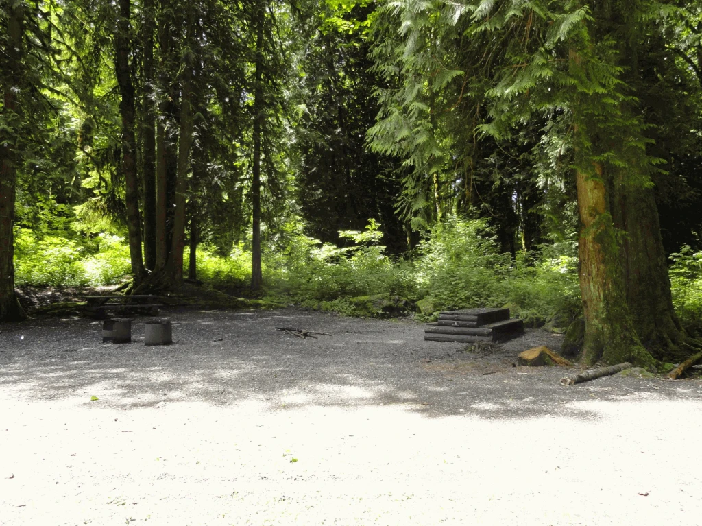
© Recreation Sites and Trails BC Campfire ban in effect at this locationAllison Pool
Chilliwack · Rec Site · 7 sites60GreatGravelcampfire banwet forecasthas photoscuratedgood sizedrive (one-way)309 kmdrive time3h 48mround-trip$122.3174.1 LSaSuMo21°/11° · 1 wet dayBoat launchHikingFishingPit toiletLake10 km· Husky11 km· Th'ewá:lí / Soowahlie6 km· Ryder Lake25 km· Harrison Hot Springs11 km· Edmeston Road Gate | KM 10.0First-come, first-servedSource ↗A small site along the banks of the Chilliwack River; accessed off the Chilliwack Lake Road. This site is not suitable for large RVs due to the gravel road access. The site is popular with anglers and has access to the Trans Canada Trail. The site is designed as a group site and can be reserved during camping season. Payment for camping permits are Cash Only. For reservations, visit <a href="https://campchilliwackvalley.ca" target="_blank">https://campchilliwackvalley.ca</a>.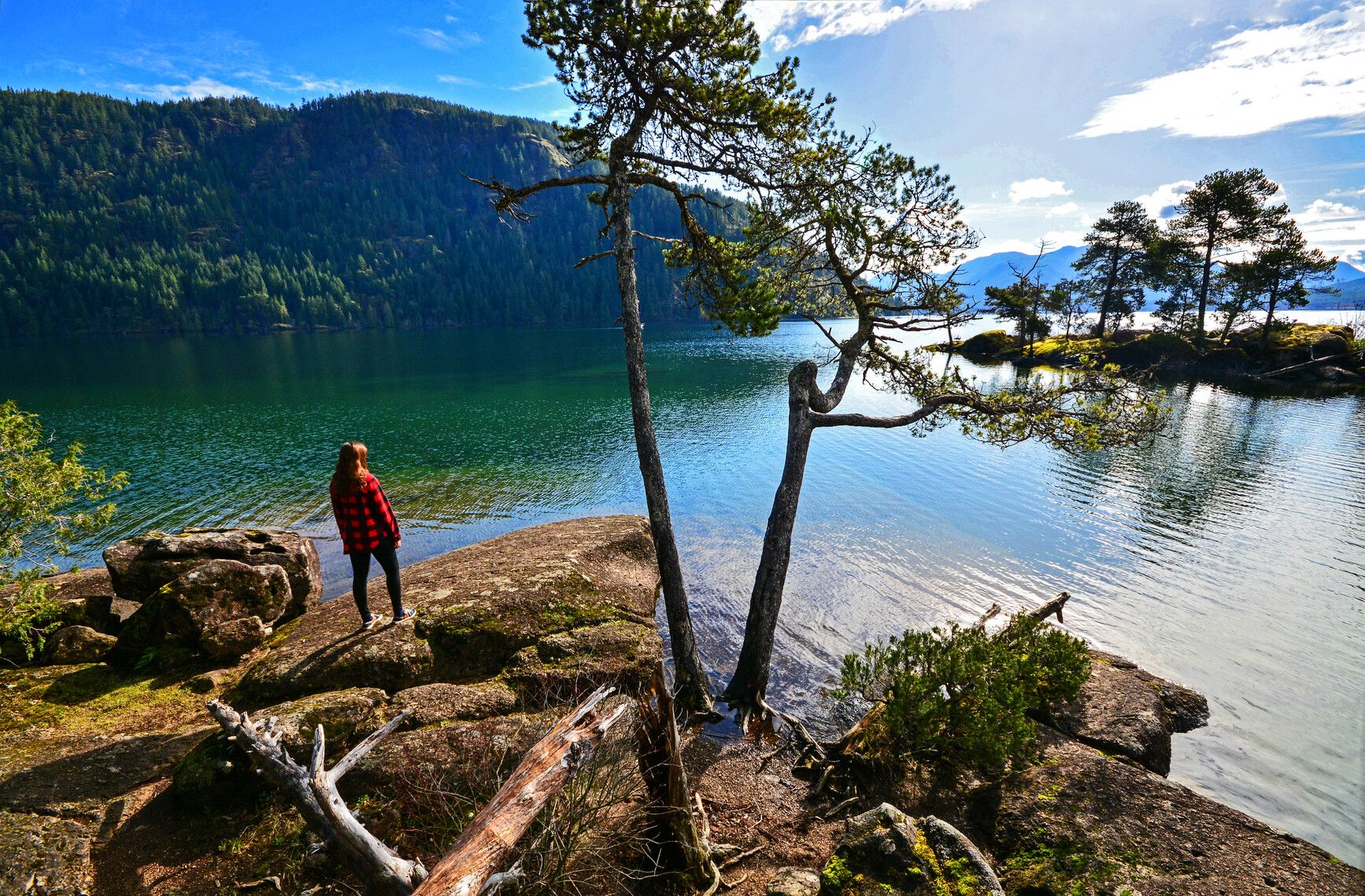
© BC Parks Campfire ban in effect at this locationGordon Bay Provincial Park
— · BC Park · 126 sites65GreatPavedcampfire banwet forecasthas photoscuratedwaterdrive (one-way)569 kmdrive time8h 47mround-trip$225.42136.6 LSaSuMo17°/9° · mostly wetHikingBoat launchFishingSwimmingBiking+44 km· Daly's Auto Centre3 km· Honeymoon BayMixed (some reservable)Source ↗For a great family camping vacation, head to Gordon Bay Park. Located on the shores of Lake Cowichan, north of Duncan on Vancouver Island. In the summer the lake is warm and the sandy beach makes for great family swimming. History buffs find plenty to interest them in the park and the surrounding area, which is home to a second-growth Douglas-fir forest. Set in one of Vancouver Island’s sunniest valleys, this area boasts the highest average annual temperature in Canada. The lake is known for its spectacular freshwater fishing in the spring, fall and winter, when anglers can be challenged by rainbow, cutthroat and Dolly Varden trout. Waterskiing and windsurfing are also popular activities on the lake. This small wilderness area features a number of walking and hiking trails with unparall…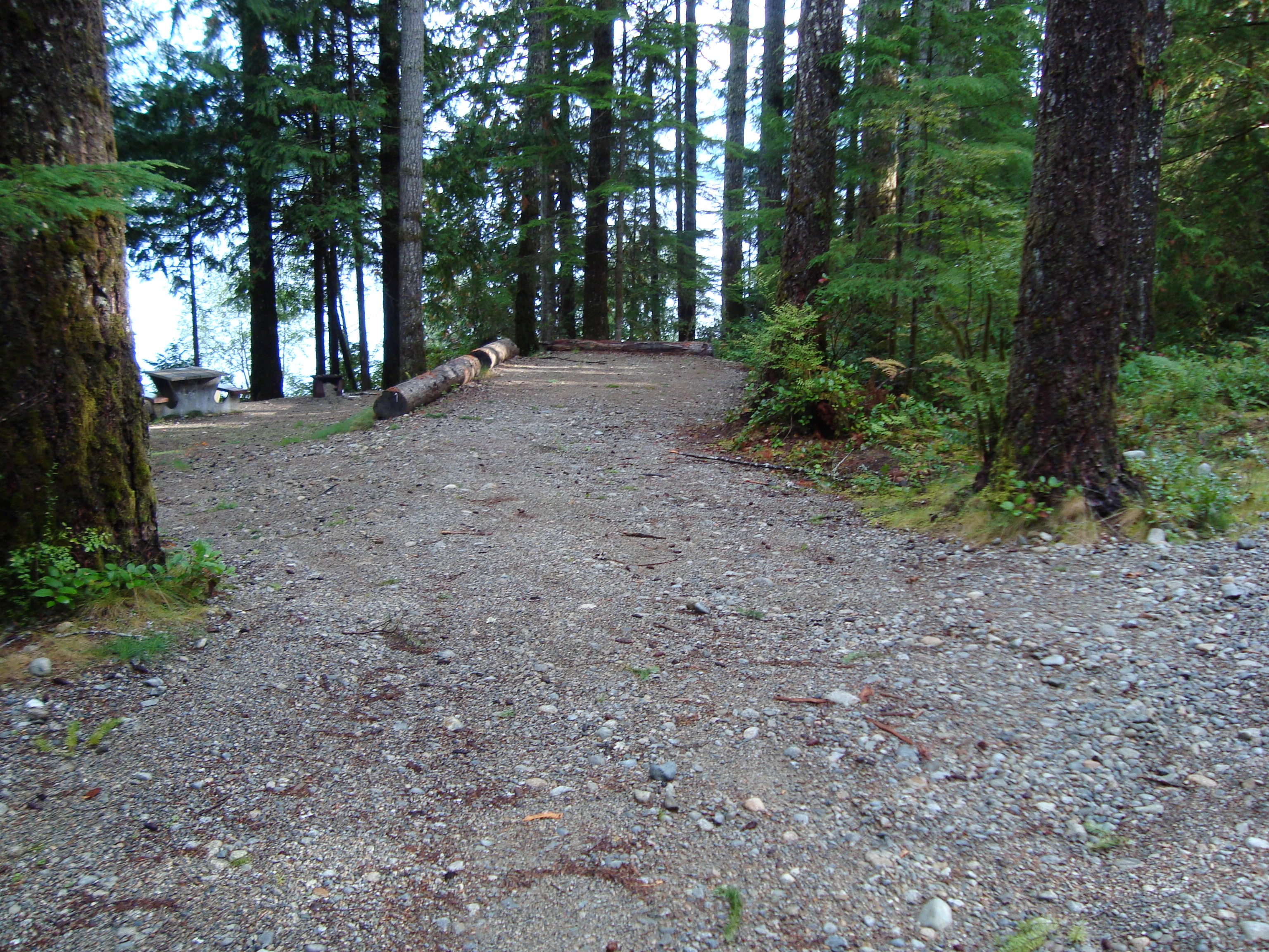
© Recreation Sites and Trails BC Campfire ban in effect at this locationLois Lake
Powell River · Rec Site · 15 sites57Good4x4 onlycampfire banwet forecasthas photosgood sizelakedrive (one-way)544 kmdrive time8h 19mround-trip$215.25130.5 LSaSuMo21°/15° · 1 wet dayFishingBoat launchSwimmingLakePit toilet15 km· Vanderkemp Sales And Services4 km· Lang Bay9 km· Coyote LakeNearby attractions (1)- A-Branch Cabin13.7 km
First-come, first-servedSource ↗This site is user maintained and the starting point for the Powell Forest Canoe Route. There are 12 sites for vehicle camping and 4 for walk-in camping.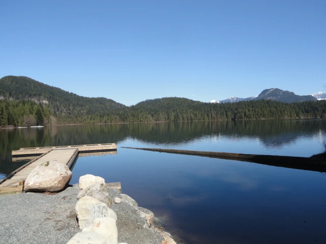
© Recreation Sites and Trails BC Campfire ban in effect at this locationSayres Lake
Mission · Rec Site · 40 sites54Good4x4 onlycampfire banhas photoscuratedgood sizelakedrive (one-way)360 kmdrive time4h 36mround-trip$142.3786.3 LSaSuMo25°/15° · 1 wet dayBoat launchHikingFishingLake14 km· Save Gas10 km· Stave Falls1 km· Sayres Lake38 km· Harrison Hot SpringsFirst-come, first-servedSource ↗Enjoy this beautiful reconstructed site on Sayres Lake, located within Mission TFL. This site is unique as remnants of historical harvesting exist shown by the massive Western Red Cedar stumps that add to the character of the site. It is illegal to damage the environment; therefore cutting the stumps or any Crown timber within a recreation site is prohibited by law in BC. <BR><BR>This site was primarily designed for smaller vehicles such as truck and camper units, or tent camping. There are 28 campsites, including several group sites to accommodate larger gatherings, as well 12 walk-in tent…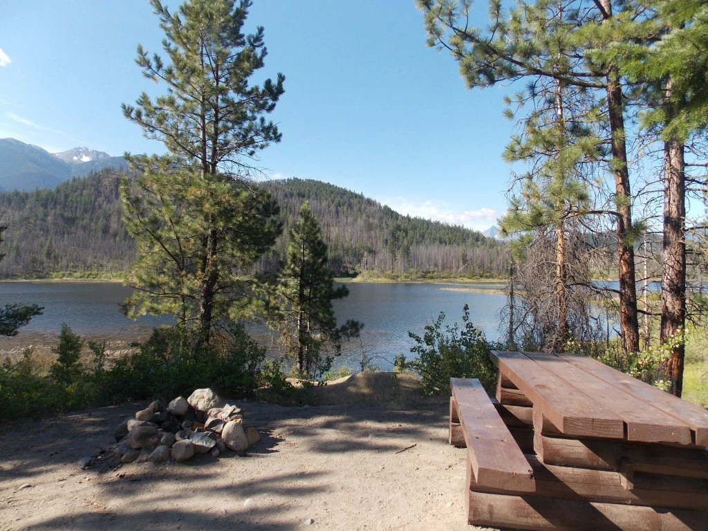
© Recreation Sites and Trails BC Campfire ban in effect at this locationMowson Pond
Goldbridge · Rec Site · 7 sites53GoodGravelcampfire banwet forecasthas photoscuratedgood sizedrive (one-way)387 kmdrive time6h 6mround-trip$153.0792.8 LSaSuMo20°/9° · 1 wet dayLakeFishingBoat launchPit toilet9 km· Esso9 km· Gold Bridge4 km· Tyaughton Lake57 km· Etta's Secret SpringNearby MTB (2)- Tyax Adventures~9 km
- South Chilcotin~9 km
First-come, first-servedSource ↗**NOTICE** This site is currently on Evacuation Alert due to the Bonanza Creek Wildfire K71082. The site currently remains open, but campers may be expected to evacuate on short notice depending on fire activity. <BR>The recreation site supports a wide variety of recreational activities. Camping, fishing, boating, horseback riding, XC-skiing, and snowmobiling are just a few. Scenic views also complement the recreation site.