


About this site
Source ↗While the Upper Raush and Lower Raush are two distinctly separate protected areas, their adjacency and similarity warrant their being documented as one unit. Created through the efforts of the Robson Valley Land and Resource Management Plan and the Protected Areas Strategy, these protected areas protect portions of an undeveloped, relatively pristine watershed. Located on the southwest side of the Fraser River, just south of McBride, these protected areas have no road access or facilities of any kind. As part of the Northern Columbia Mountains Ecosection, these protected areas contain four biogeoclimatic subzones. Dominating the valley floor is sub boreal spruce while slightly upslope a rare variant of Interior Cedar Hemlock exists. Higher yet, one finds Engelmann spruce and subalpine f…
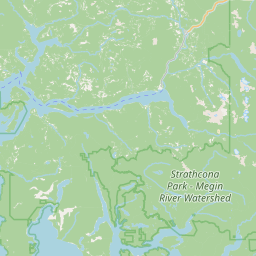
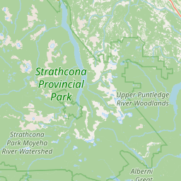
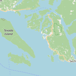
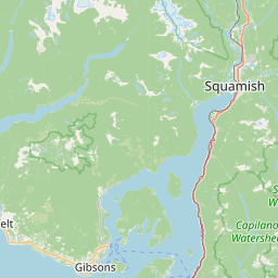
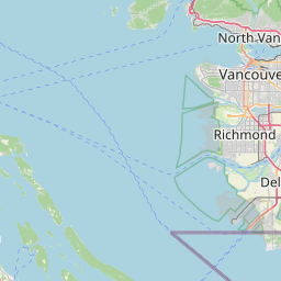
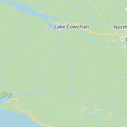
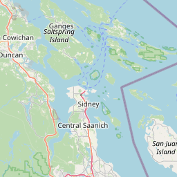
Where it is
49.2933, -124.9275Weather forecast
next 14 daysFire & air quality
Drive from Kelowna, BC
Routed on real roads. Fuel at your current gas price.