


About this site
Source ↗The Upper Rogers Kóḻii7 Conservancy is 3,605 hectares in size and is situated in the headwaters of Rogers Creek watershed, which drains into the Lillooet River approximately 18 kilometres south of Lillooet Lake. The conservancy includes the upper portion of the Rogers Creek watershed, adjacent to the drainage of Lizzie Creek. The conservancy encompasses pristine alpine lakes and subalpine meadows, montane forest ecosystems, and portions of the Skook Jim and Caltha glaciers. The word “kóḻii7” (pronounced ko-leh) is Ucwalmicwts for “high green meadow” and reflects the alpine environment of the conservancy. The conservancy is within the traditional territory of In-SHUCK-ch Nation. The conservancy protects an In-SHUCK-ch cultural site and was identified as a significant cultural area with…
Where it is
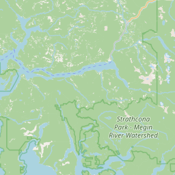
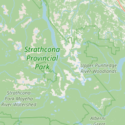
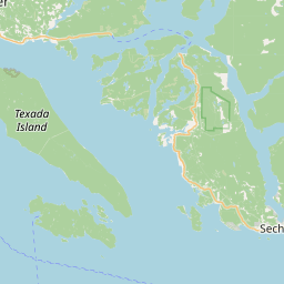
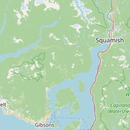
49.2990, -124.9283Weather forecast
next 14 daysFire & air quality
Drive from Kelowna, BC
Routed on real roads. Fuel at your current gas price.