About this site
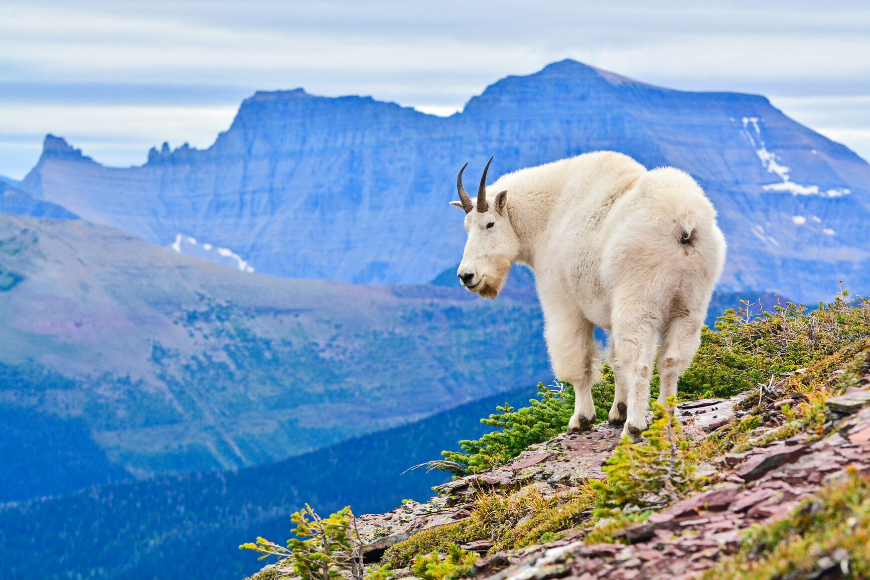
Source ↗Akamina Kishinena Park is located in the southeast corner of the province. Along with Waterton Lakes National Park and US Glacier National Park, this wilderness area preserves the narrowest point of the Rocky Mountains. High spacious alpine ridges, deep secluded valleys and windswept passes provide habitat and connectivity to the last self-sustaining grizzly bear population in the United States. Exposed alpine ridges, southern latitude and southern exposure provide winter range for goats and big horn sheep. The trails and passes of the Akamina-Kishinena used today to cross the axis of the continent, were established and used for many years by the early people’s and wildlife travelling between the Flathead Basin and the abundant Great Plains.
Where it is
49.0330, -114.1781Weather forecast
next 14 daysFire & air quality
Drive from Kelowna, BC
Routed on real roads. Fuel at your current gas price.