Kelowna, BC
Log in
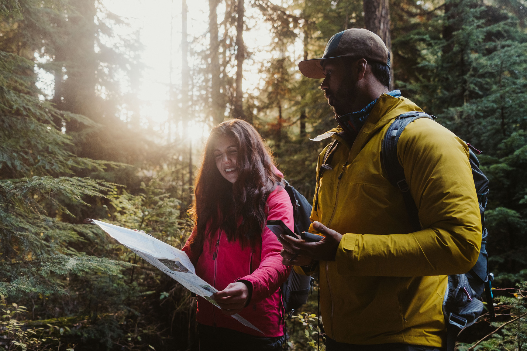
Pair of hikers looking at a map and compass to make sure they are going the right way
39score
Match · reservable

Joffre Lakes Provincial Park

BC Park · Reservation requiredPaved access
© Dave Wallace / BC Parks, under the OGL-BC

About this site

Source ↗

Joffre Lakes Park is famous for its turquoise-blue lakes, jagged peaks, icefields, and cold rushing streams. The park offers stunning views and opportunities for hiking , camping , and climbing . This is an increasingly popular park, so backcountry camping reservations and day-use passes are often required. The Indigenous heritage of this area The area between North Joffre Creek and Cayoosh Pass is known as Pipi7íyekw, meaning a camping place where storage houses were, in the St̓atímcets language. Learn how to pronounce Pipi7íyekw from elder Charlie Mack. Ku̓kwpi7 Skalúlmecw Dean Nelson, Political Chief, Líĺwat Nation, speaks about the significance of the area “Joffre Lakes Park lies within the unceded territories of the Líĺwat Nation and N’Quatqua and is integral to who we are as N’Qu…

HikingFishingPit toiletLake

Where it is

50.3441, -122.4779
Loading map…
BC Park
Open in map ↗

Weather forecast

next 14 days
Thu33°21°6%
Fri29°19°9%
Sat27°16°58%
Sun19°15°77%
Mon26°15°45%
Tue25°14°47%
Wed27°15°2%
Thu22°14°2%
Fri26°11°4%
Sat28°13°9%
Sun31°15°13%
Mon32°16°16%
Tue29°15°17%
Wed16°12°19%

Fire & air quality

Nearest fire 7 km · 510 ha
Fire ban in effect · Coastal
Air quality · Unhealthy (AQI 181)
Worst PM2.5 196.5 μg/m³, check local advisories

Drive from Kelowna, BC

drive (one-way)
362 km
drive time
5h 40m
round-trip
$143
86.9 L

Routed on real roads. Fuel at your current gas price.

Around this site

Fuel 17 km· ChevronTown 17 km· Líl̓wat / Mount CurrieLake 3 km· Lower Joffre LakeHot spring 53 km· August Jacob's Hot SpringTrailhead 3 km· Joffre Lakes Trail
Nearby MTB (2)
Pemberton~23 km
Flow State Guiding Heli Biking~23 km

Photos

Your visit notes (0)