About this site
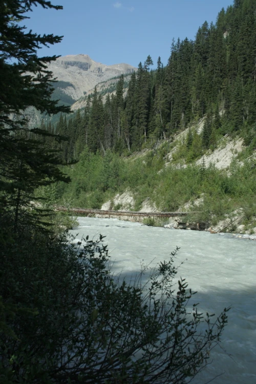
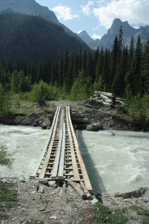
Source ↗This site marks the start of the wilderness trail was used by generations of First Nations as a route east from the Columbia River Valley through the rugged Rocky Mountains. It served the First Nations as a route through the mountains to bison, and was a short-lived gateway for European traders to the interior of British Columbia from trading posts in the foothills of Alberta. Blocked by tribes east of the pass, the traders, led by explorer and fur trader David Thompson, found a more northerly route. <BR><BR>The trail connects the Blaeberry River, over Howse Pass, and to the Saskatchewan Ri…
FishingHiking
Where it is
51.7164, -116.7094Loading map…
Rec Site
Weather forecast
next 14 daysThu19°6°39%
Fri18°6°78%
Sat17°6°68%
Sun14°3°24%
Mon14°5°16%
Tue15°4°63%
Wed16°3°14%
Thu19°3°4%
Fri20°5°4%
Sat21°6°16%
Sun18°6°39%
Mon14°7°22%
Tue18°3°16%
Wed10°5°20%
Fire & air quality
No active fires within 100 km
Fire ban in effect · Southeast
Air quality · Unhealthy (sensitive) (AQI 118)
Worst PM2.5 50.3 μg/m³, check local advisories
Drive from Kelowna, BC
drive (one-way)
385 km
drive time
6h 55m
round-trip
$153
92.5 L
Routed on real roads. Fuel at your current gas price.
Around this site
Fuel 38 km· Yoho Brothers Trading PostTown 39 km· FieldLake 14 km· Amiskwi LakeHot spring 154 km· Halfway Hot SpringsTrailhead 71 km
Photos
Your visit notes (0)
Find similar by activity →abettercamper.com