About this site
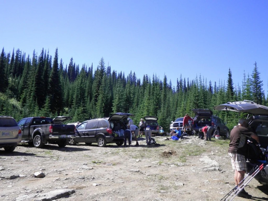
Source ↗Altitude: 2200 m, Elevation Gain; 420 m, Hiking Time: +/- 5hrs, Hiking Distance: 7.6 km. The first 1 km is very steep and it is a popular destination for backpackers and hikers. It also leads to the north end of the Mark Berger Traverse. At the first viewpoint of Twin Lakes that lie below in a cirque you will marvel at the vivid emerald and blue colours. Another set of trails heads towards Bolder Mtn. elevation +/- 2415m or +/- 7923 ft. and Neapolitan Mtn. elevation +/- 2400m or 7874 ft. The trails beyond Twin Lakes require skill as the trails become much more difficult.
HikingLake
Where it is
50.2825, -118.3101Loading map…
Rec Site
Weather forecast
next 14 daysThu18°12°16%
Fri21°11°8%
Sat24°8°28%
Sun21°6°14%
Mon20°6°5%
Tue24°8°8%
Wed24°9°2%
Thu17°6°3%
Fri18°4°5%
Sat19°5°5%
Sun22°6°12%
Mon24°8°10%
Tue23°8°13%
Wed17°3°11%
Fire & air quality
Nearest fire 27 km · 4 ha
Fire ban in effect · Kamloops
Air quality · Moderate (AQI 67)
Worst PM2.5 40.9 μg/m³, check local advisories
Drive from Kelowna, BC
drive (one-way)
133 km
drive time
4h 24m
round-trip
$53
31.9 L
Routed on real roads. Fuel at your current gas price.
Around this site
Fuel 21 km· Cherryville EmporiumTown 22 km· CherryvilleLake 9 km· Rottacker LakeHot spring 45 km· Halfway Hot SpringsTrailhead 73 km· Bagbie Falls
Nearby day-use attractions (1)
Vidler Ridge Trail Head6.9 km
Photos
Your visit notes (0)
Find similar by activity →abettercamper.com