About this site
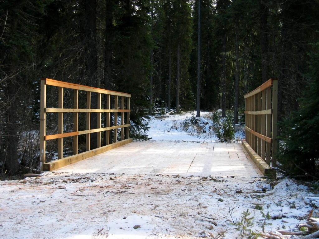
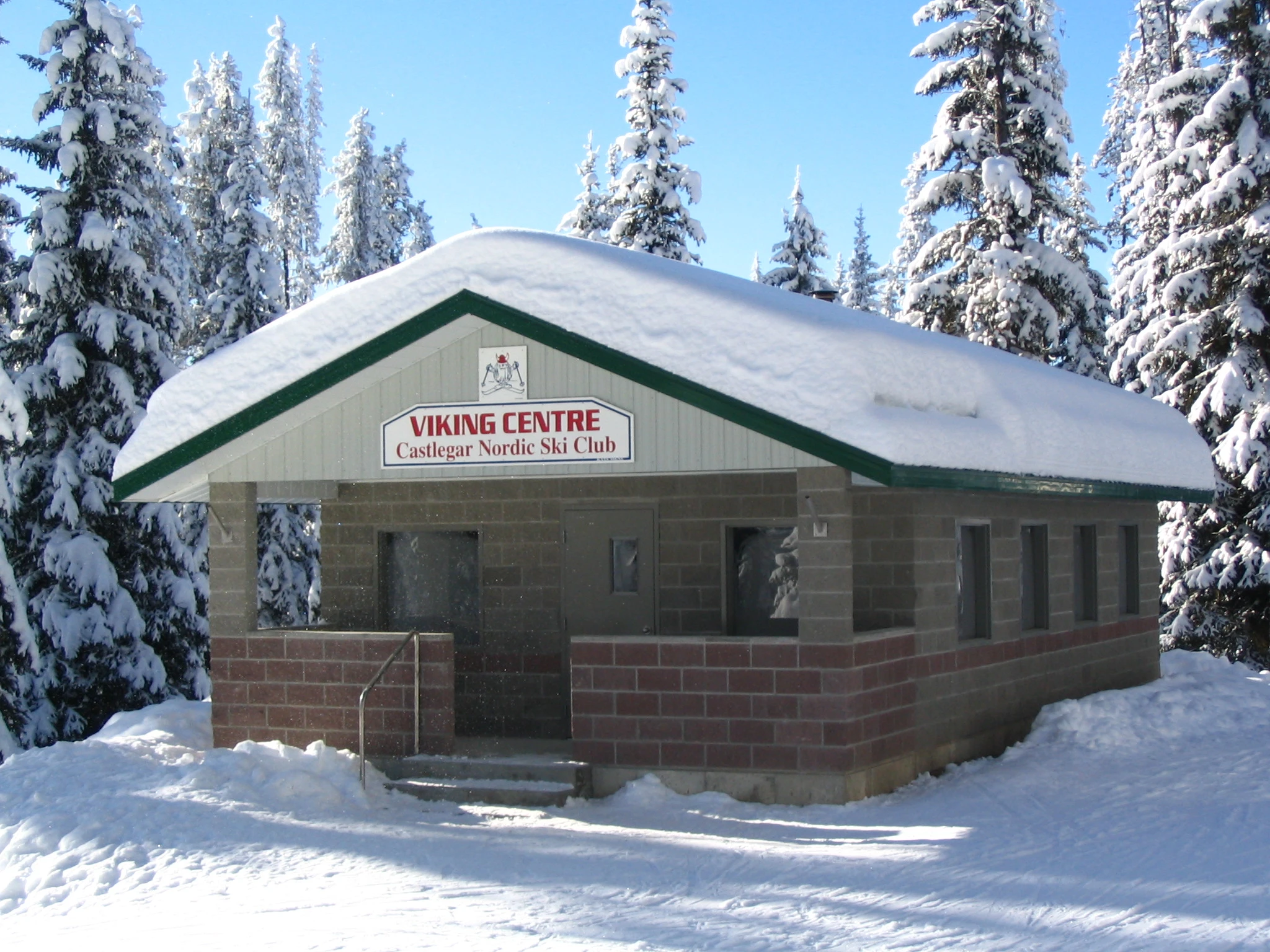
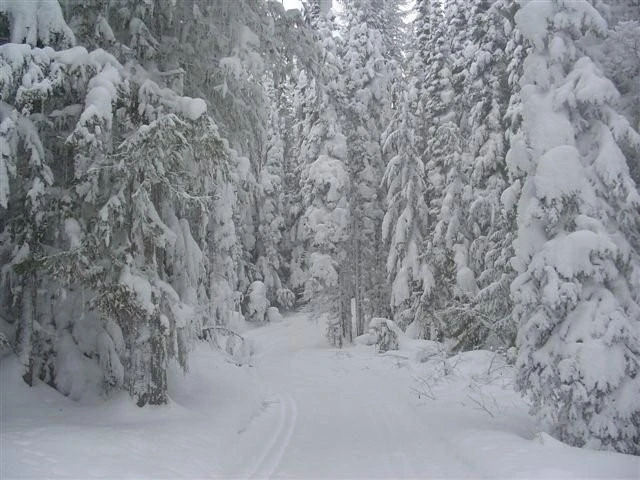
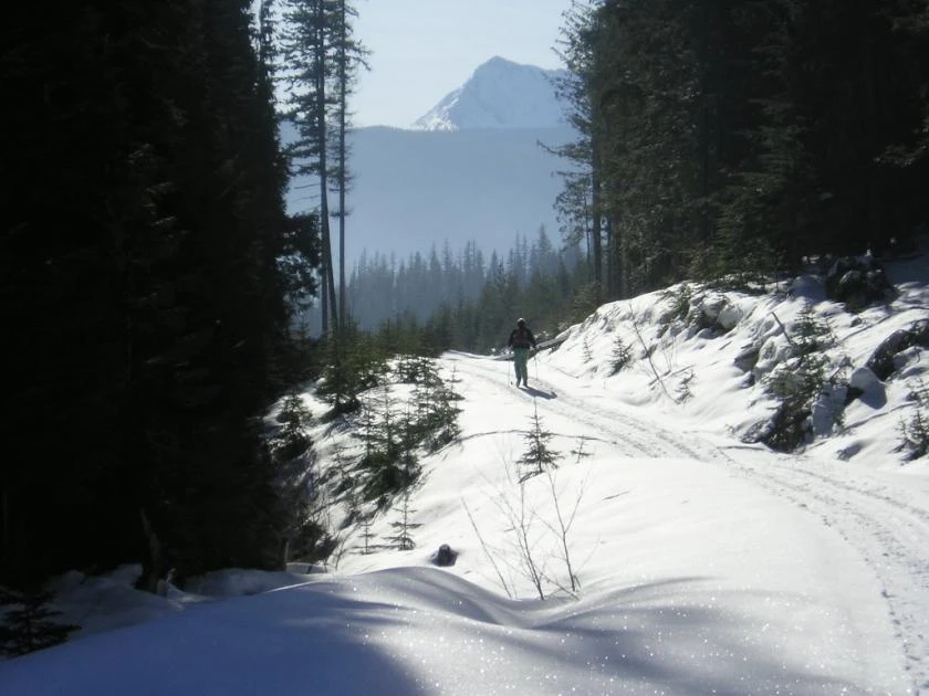
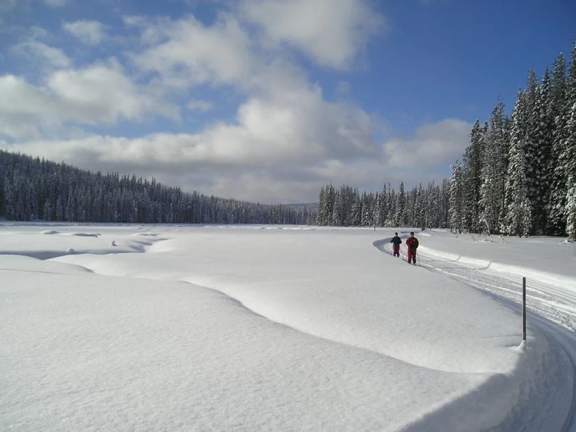
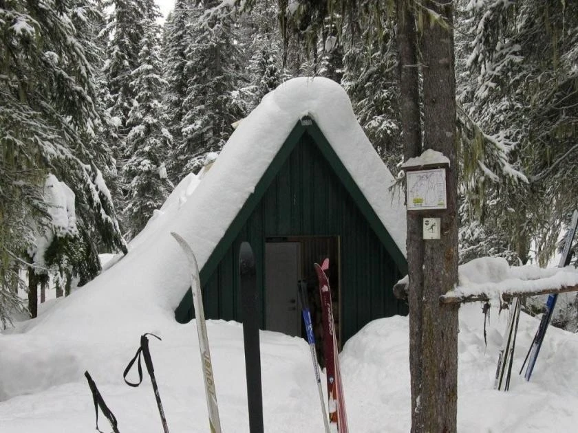
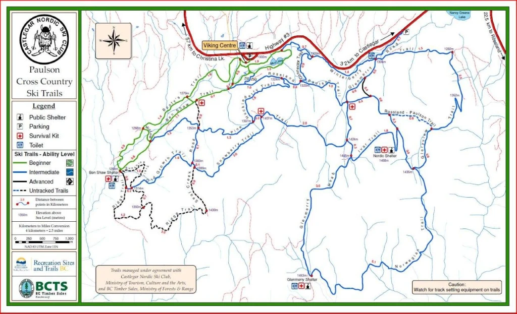
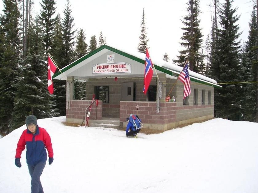
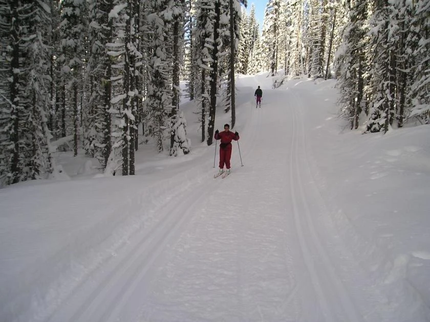
Source ↗The 45 km of trails have been developed by the B.C. Forest Service in co-operation with the Castlegar Nordic Ski Club and offer a series of loops from beginner to intermediate and advanced. The club also maintains day use shelters and provides track setting over a major portion of the trail system. Trail fees are 15$ per person
HikingPit toilet
Where it is
49.2429, -118.0004Loading map…
Rec Site
Weather forecast
next 14 daysThu27°15°17%
Fri28°15°9%
Sat28°13°2%
Sun24°11°1%
Mon25°12°1%
Tue27°12°1%
Wed28°13°1%
Thu24°13°2%
Fri25°9°2%
Sat26°10°4%
Sun27°10°5%
Mon28°12°6%
Tue28°12°13%
Wed23°7°10%
Fire & air quality
Nearest fire 23 km · 0 ha
Fire ban in effect · Southeast
Air quality · Unhealthy (AQI 155)
Worst PM2.5 88 μg/m³, check local advisories
Drive from Kelowna, BC
drive (one-way)
273 km
drive time
3h 54m
round-trip
$108
65.4 L
Routed on real roads. Fuel at your current gas price.
Around this site
Fuel 23 km· TempoTown 20 km· Deer ParkLake 1 km· Mud LakeHot spring 141 km· Halfway Hot SpringsTrailhead 40 km· Crescent Valley Trailhead
Nearby day-use attractions (3)
Glenmerry Shelter4.1 km
Walker Creek Cabin7.1 km
24 Mile Snowmobile Area7.8 km
Nearby MTB (3)
RED Mountain Bike Park~19 km
Rossland~23 km
Castlegar~26 km
Photos
Your visit notes (0)
Find similar by activity →abettercamper.com