About this site
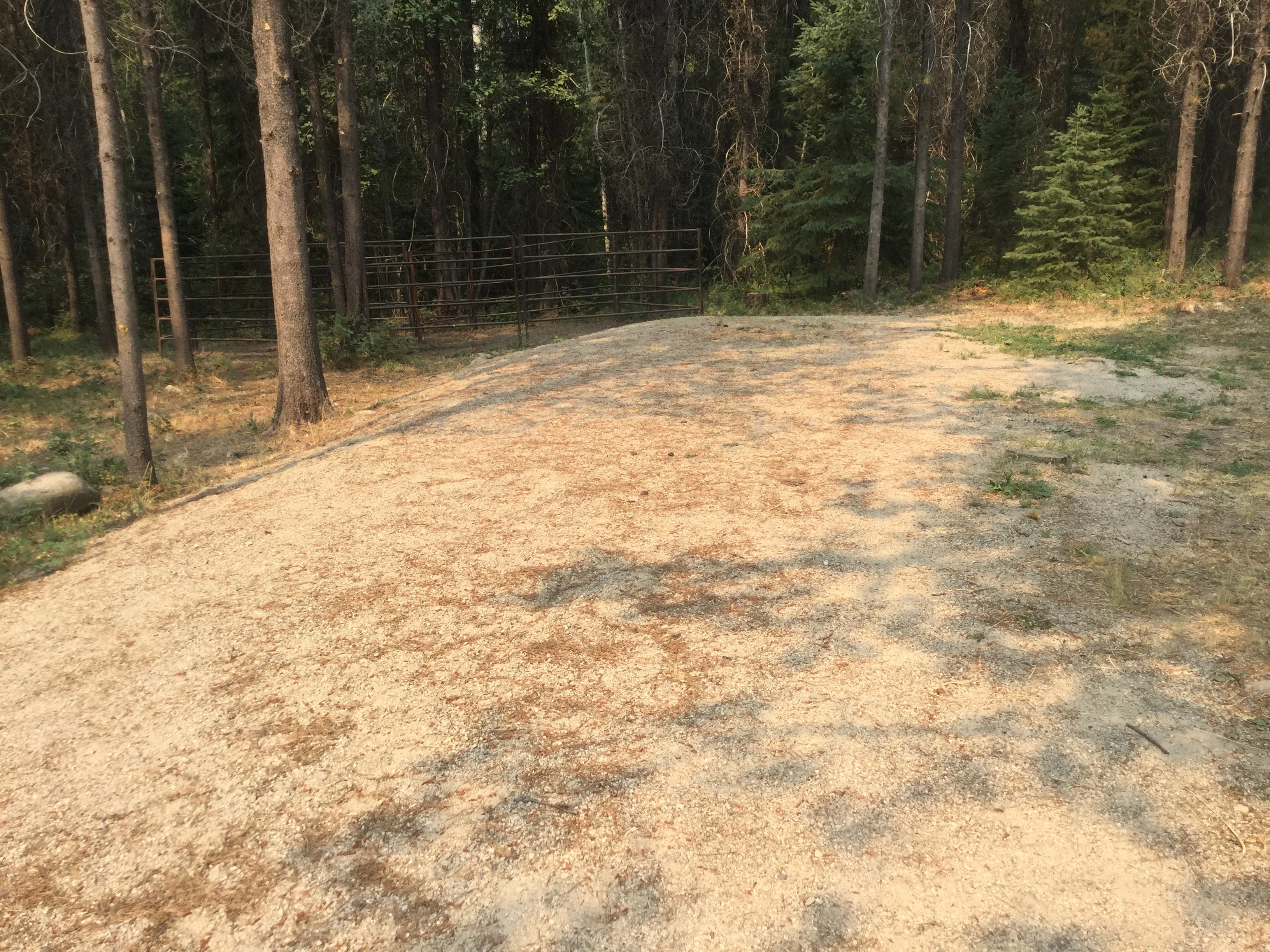
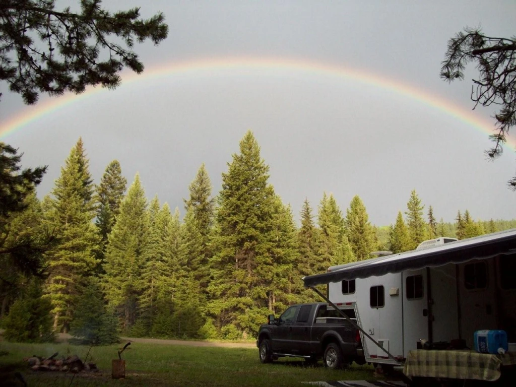
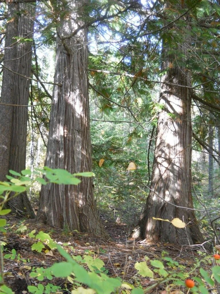
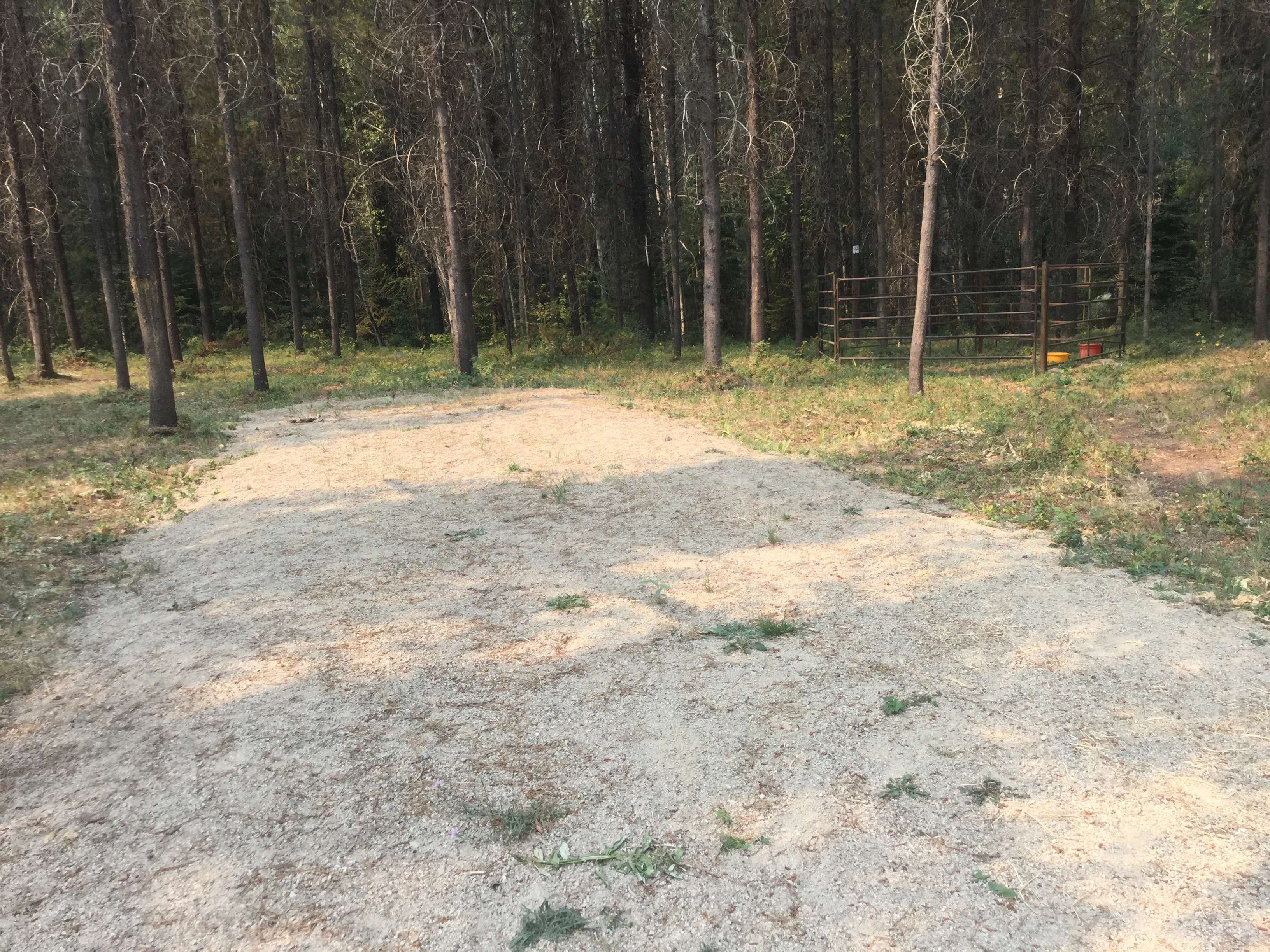
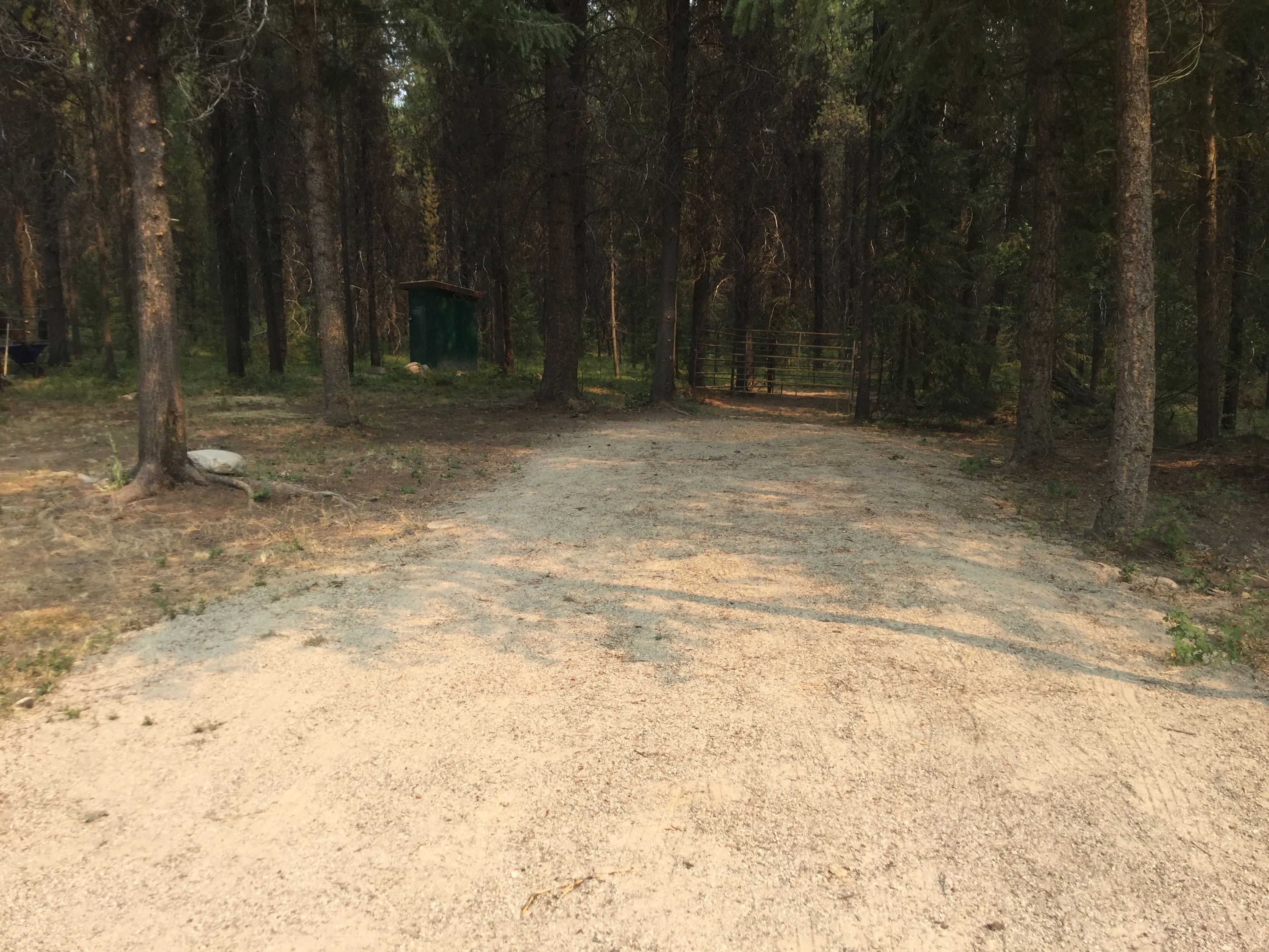
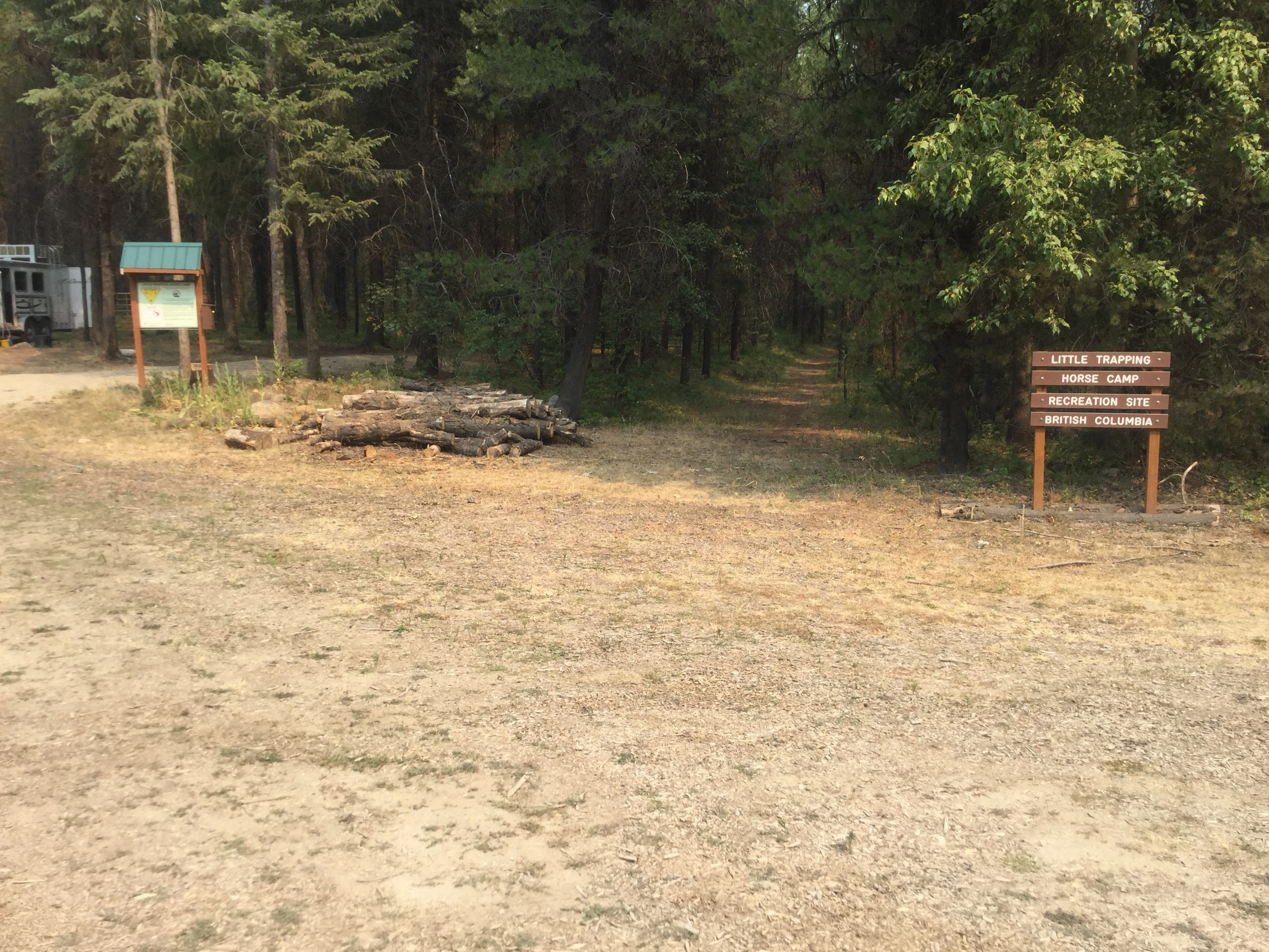
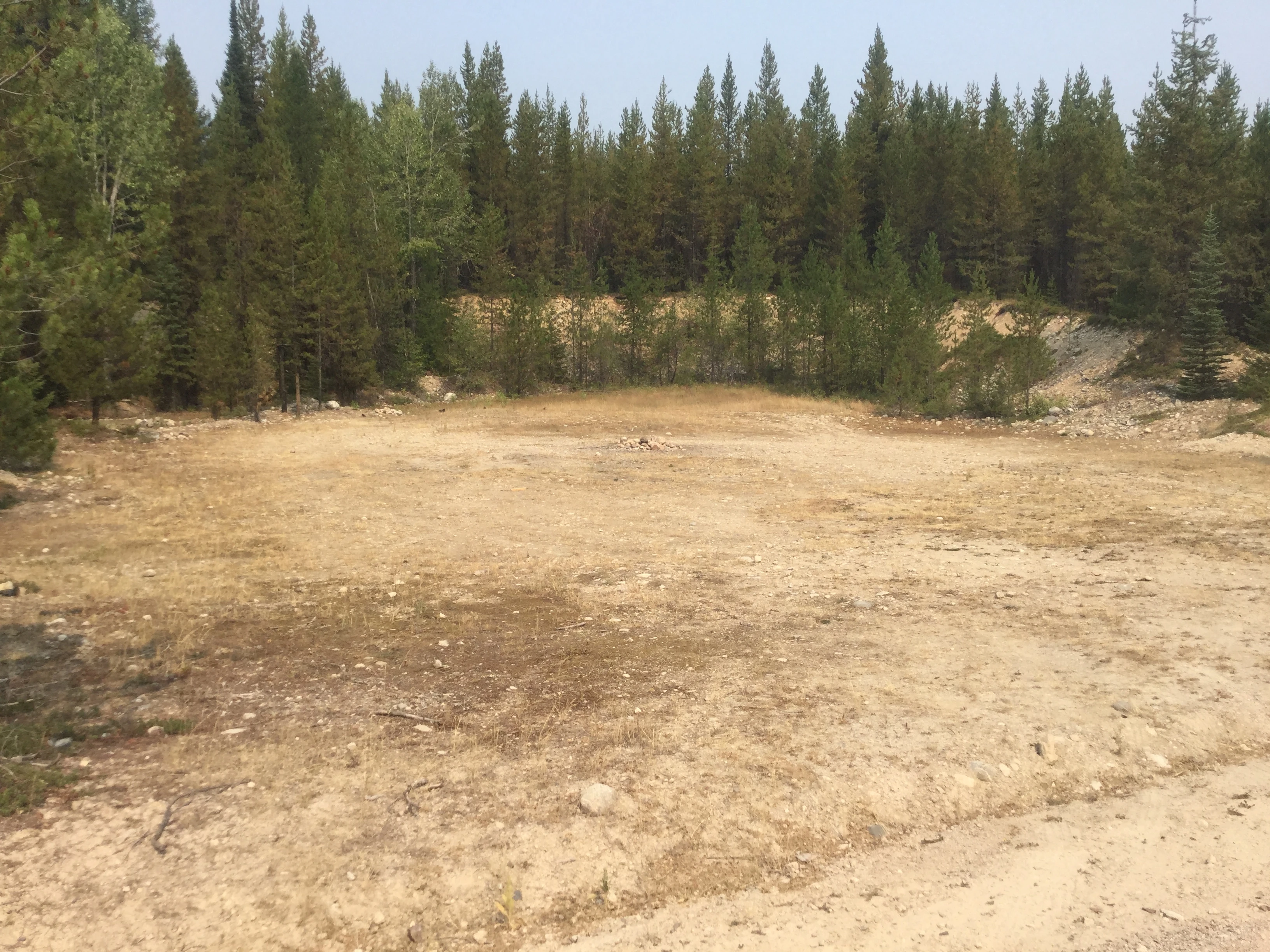
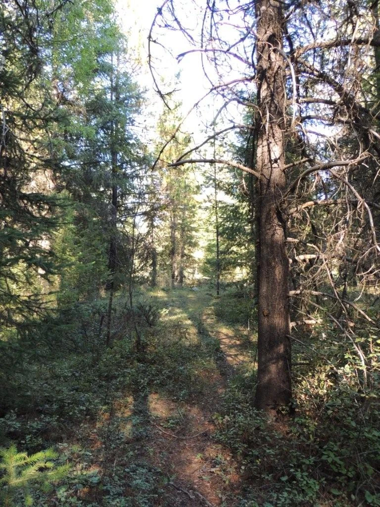
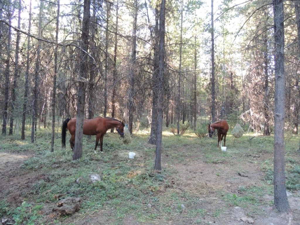
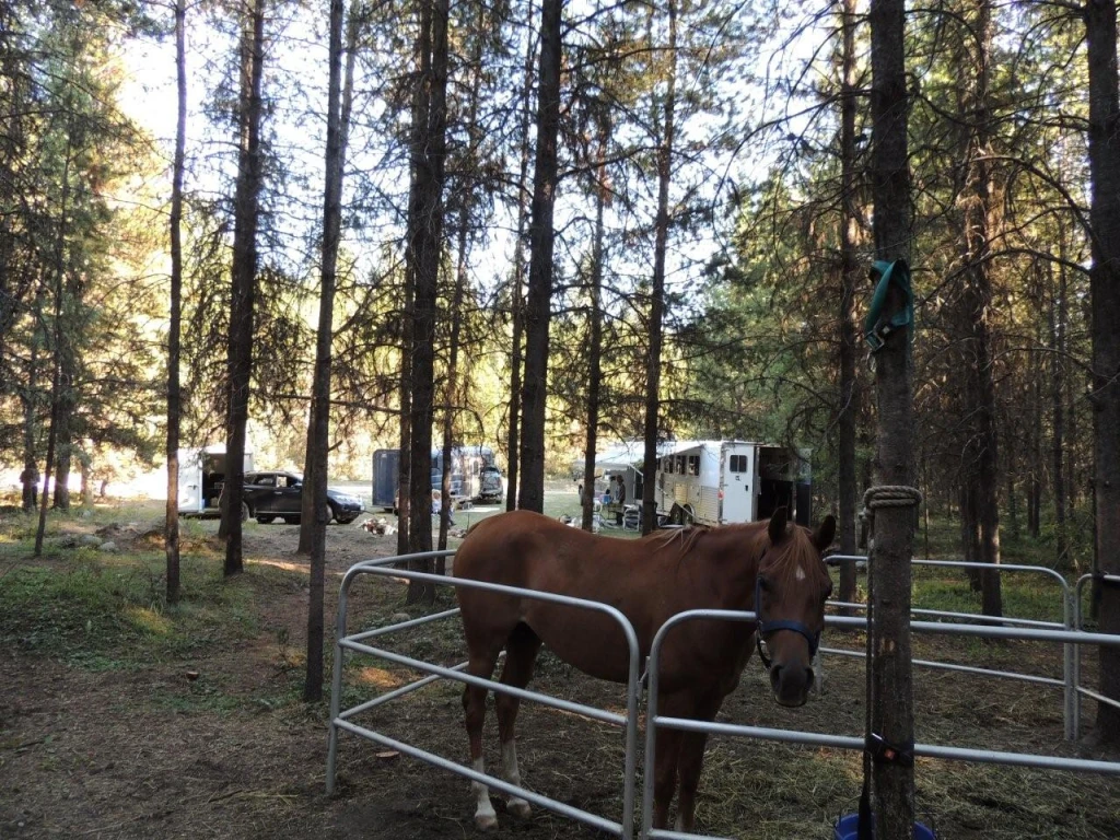
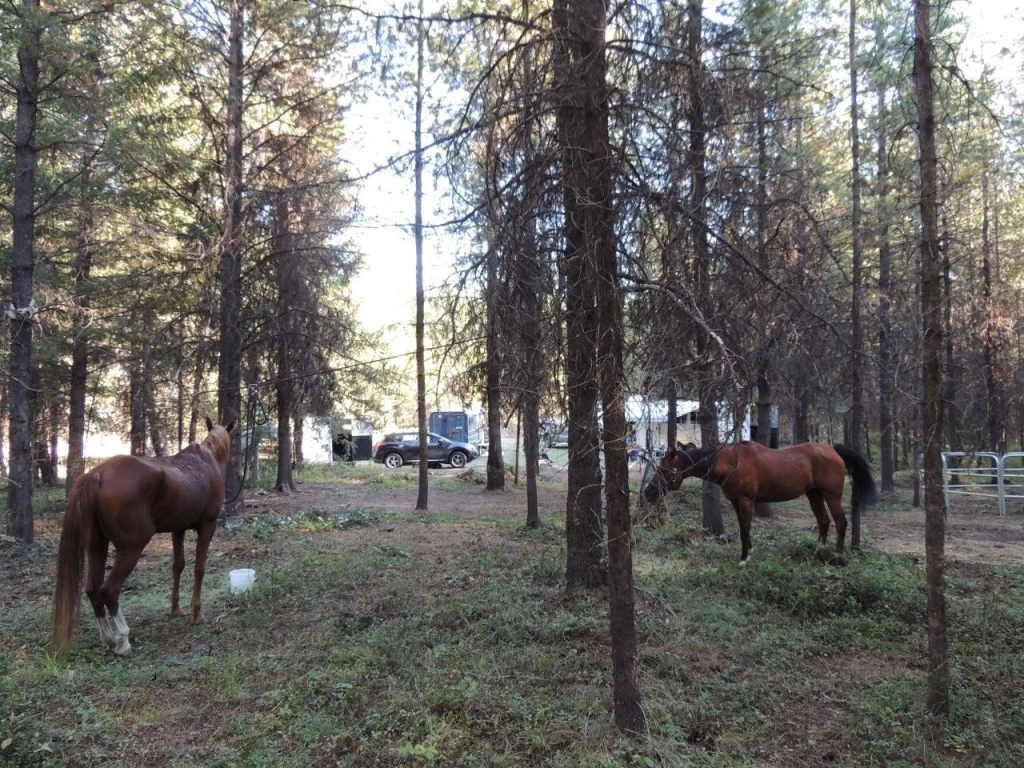
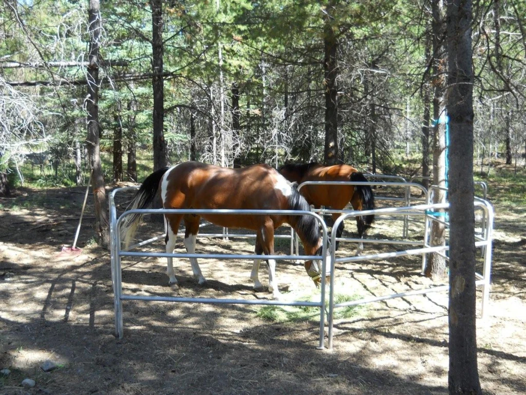
Source ↗The Trapping Creek Horse Trails are mainly old grassy two-track logging trails connected by enhanced cow paths and game trails, so the terrain varies. The horse trail network boasts several loops connecting the camps, with varying distances between 3-12 miles and several good creek crossings. Altitude changes on the trails on the North/West side of the creek are gradual. The greatest elevation change is approximately 1500' over about 2.5 miles. The trails on the South/East side of the creek are pretty flat. For some, the many crossings of Trapping Creek can be challenging during the height …
Where it is
49.5721, -119.0465Loading map…
Rec Site
Weather forecast
next 14 daysThu28°18°19%
Fri29°15°5%
Sat28°13°2%
Sun26°8°3%
Mon26°10°1%
Tue28°10°2%
Wed29°10°2%
Thu25°9°1%
Fri25°7°2%
Sat26°8°3%
Sun29°9°6%
Mon31°11°6%
Tue30°11°5%
Wed23°6°3%
Fire & air quality
Nearest fire 31 km · 0 ha
Fire ban in effect · Southeast
Air quality · Moderate (AQI 71)
Worst PM2.5 29.7 μg/m³, check local advisories
Drive from Kelowna, BC
drive (one-way)
72 km
drive time
1h 9m
round-trip
$29
17.3 L
Routed on real roads. Fuel at your current gas price.
Around this site
Fuel 15 km· Sun ValleyTown 10 km· CarmiLake 4 km· Arlington LakesHot spring 137 km· Halfway Hot SpringsTrailhead 54 km
Nearby MTB (1)
Bike Big White~18 km
Photos
Your visit notes (0)
Find similar by activity →abettercamper.com