About this site
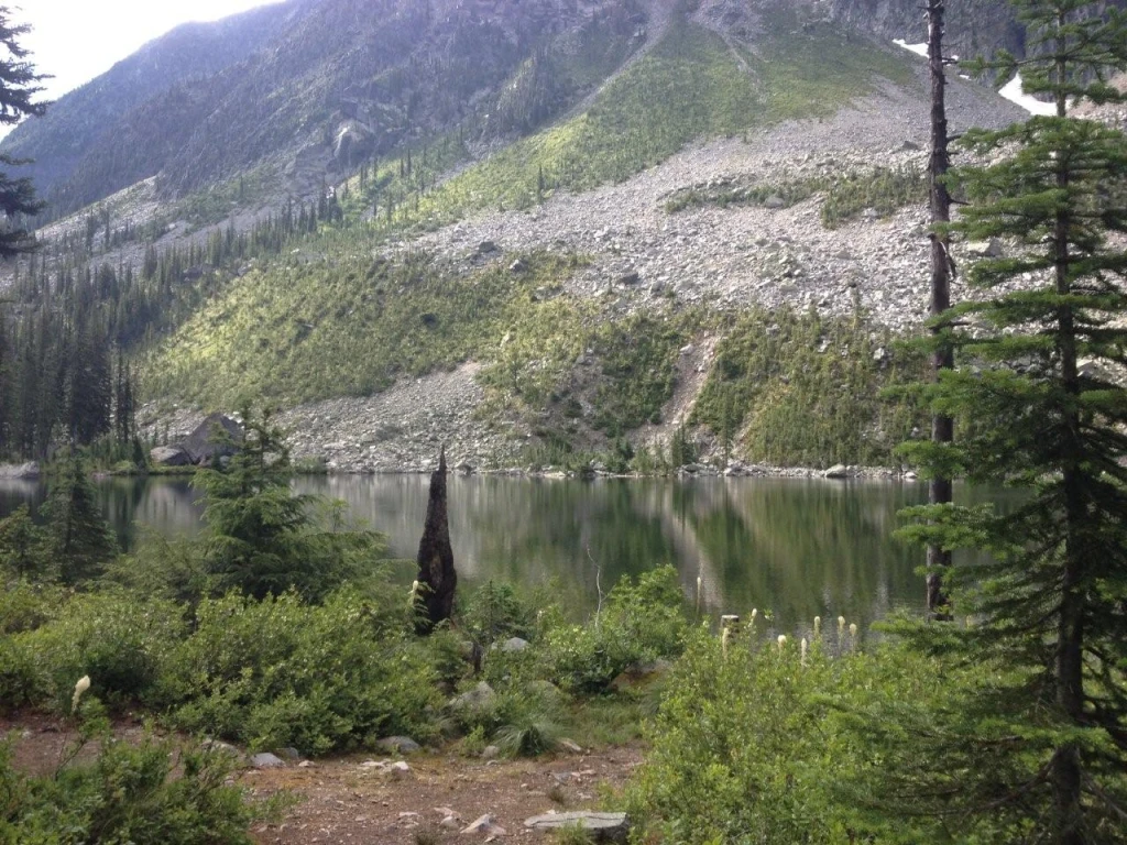
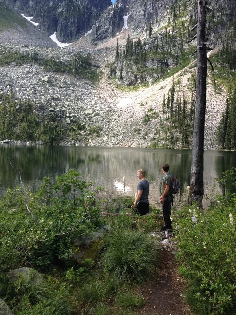
Source ↗Distance: 3.9 km Hiking time: 2 hour one way Elevation gain: 335 m (1100 feet) Description: The trail into Panther Lake has been worn deep by the miners and pack animals who used this route in the early 1900's to access the Bayonne and Sunshine Mines. Now, anglers keep the tread open as they climb the steep trail to Panther Lake, where they share the fishing with osprey. At the far end of Panther Lake, a terminal moraine creates a peninsula that is perfect to cast from. There is a good trail around the lake. Hikers and history buffs can still find traces of the original trail that the old m…
FishingHikingLake
Where it is
49.1641, -117.0532Loading map…
Rec Site
Weather forecast
next 14 daysThu21°13°11%
Fri22°11°14%
Sat22°11°0%
Sun20°7°0%
Mon19°8°0%
Tue23°8°1%
Wed23°9°0%
Thu18°8°1%
Fri19°6°1%
Sat20°7°3%
Sun22°6°6%
Mon23°6°10%
Tue23°9°14%
Wed18°2°9%
Fire & air quality
Nearest fire 53 km · 0 ha
Fire ban in effect · Southeast
Air quality · Unhealthy (AQI 151)
Worst PM2.5 86.8 μg/m³, check local advisories
Drive from Kelowna, BC
drive (one-way)
366 km
drive time
5h 57m
round-trip
$145
87.9 L
Routed on real roads. Fuel at your current gas price.
Around this site
Fuel 17 km· EssoTown 17 km· SalmoLake 1 km· Three Sisters LakeHot spring 134 km· Wildhorse Warm SpringsTrailhead 16 km· Delaurentiis Bluffs Trailhead
Photos
Your visit notes (0)
Find similar by activity →abettercamper.com