About this site
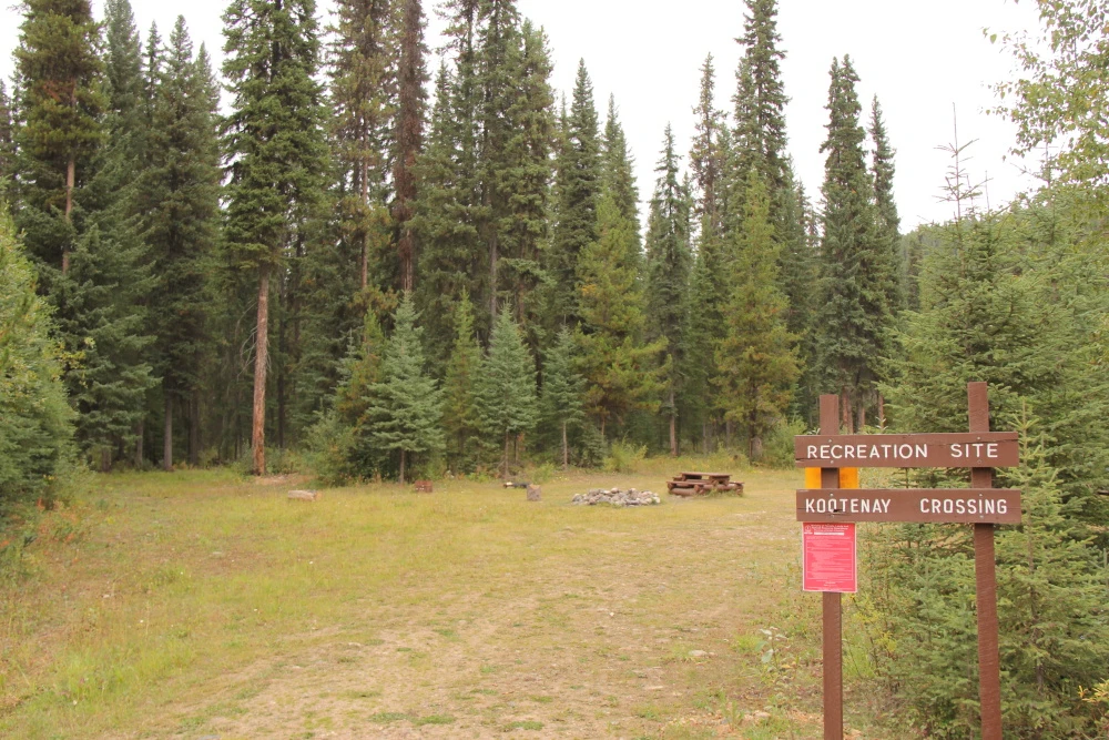
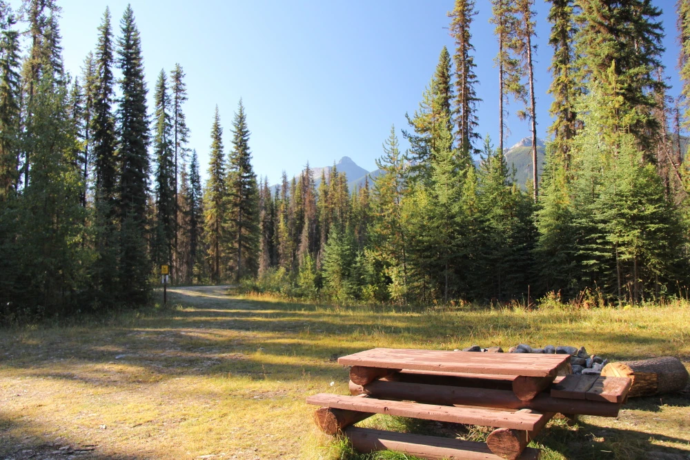
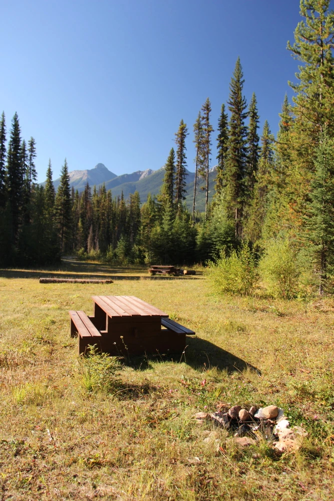
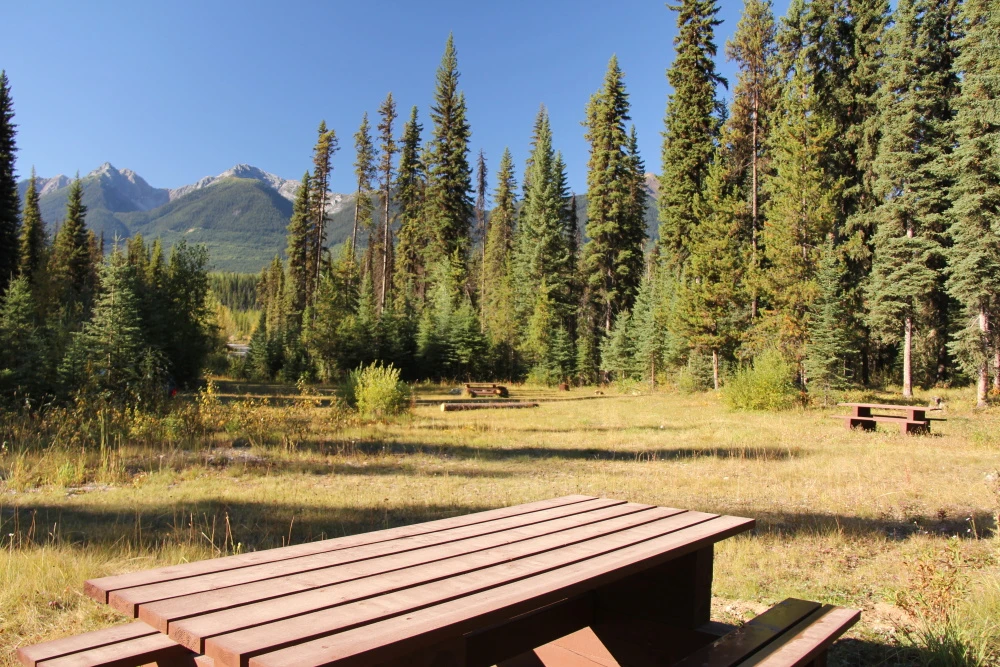
Source ↗The Kootenay Crossing site is a small open site in the Beaverfoot Valley.
FishingPit toilet
Where it is
51.0476, -116.3357Loading map…
Rec Site
Weather forecast
next 14 daysThu26°9°9%
Fri29°14°10%
Sat30°15°14%
Sun28°13°2%
Mon26°13°1%
Tue29°13°5%
Wed31°14°5%
Thu23°13°2%
Fri25°10°3%
Sat24°9°7%
Sun21°10°12%
Mon26°9°23%
Tue29°11°23%
Wed25°10°18%
Fire & air quality
Nearest fire 72 km · 22 ha
Fire ban in effect · Southeast
Air quality · Unhealthy (sensitive) (AQI 101)
Worst PM2.5 44.8 μg/m³, check local advisories
Drive from Kelowna, BC
drive (one-way)
402 km
drive time
6h 39m
round-trip
$159
96.5 L
Routed on real roads. Fuel at your current gas price.
Around this site
Fuel 23 km· Gas PlusTown 16 km· SpillimacheenLake 7 km· Dainard LakeHot spring 119 km· Halfway Hot SpringsTrailhead 19 km· Ochre Beds & Paint Pots Trailhead
Photos
Your visit notes (0)
Find similar by activity →abettercamper.com