







About this site
Source ↗Camping on the shores of the Squamish River. Campsites are open sandy areas and there is one rustic outhouse. There are no picnic tables at this site. <BR><BR><b>Please note the Squamish River Valley is prone to flooding during high rainfall. Expect potential road washouts and be prepared for lengthy delays exiting the valley.</b>
FishingPit toiletLake
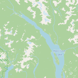
Where it is
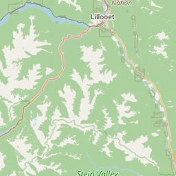
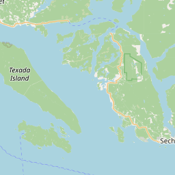
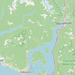
50.1134, -123.3872Loading map…
Rec Site
Weather forecast
next 14 daysThu20°13°4%
Fri17°11°16%
Sat12°8°95%
Sun10°6°95%
Mon15°7°55%
Tue14°6°62%
Wed15°6°11%
Thu11°4°7%
Fri16°3°16%
Sat19°5°12%
Sun21°7°14%
Mon21°8°16%
Tue18°7°13%
Wed10°4°26%
Fire & air quality
Nearest fire 24 km · 0 ha
Fire ban in effect · Coastal
Air quality · Unhealthy (sensitive) (AQI 106)
Worst PM2.5 12.7 μg/m³, check local advisories
Drive from Kelowna, BC
drive (one-way)
511 km
drive time
7h 30m
round-trip
$202
122.7 L
Routed on real roads. Fuel at your current gas price.
Around this site
Fuel 28 km· Co-opTown 31 km· Whistler VillageLake 10 km· Grizzly LakeHot spring 51 km· No Good Hot SpringTrailhead 15 km· Lower Brandywine Meadows Trailhead
Nearby day-use attractions (1)
Molson Memorial Day Site9.6 km
Photos
Photo
Photo
Photo
Photo
Photo
Photo
Your visit notes (0)
Find similar by activity →abettercamper.com