About this site
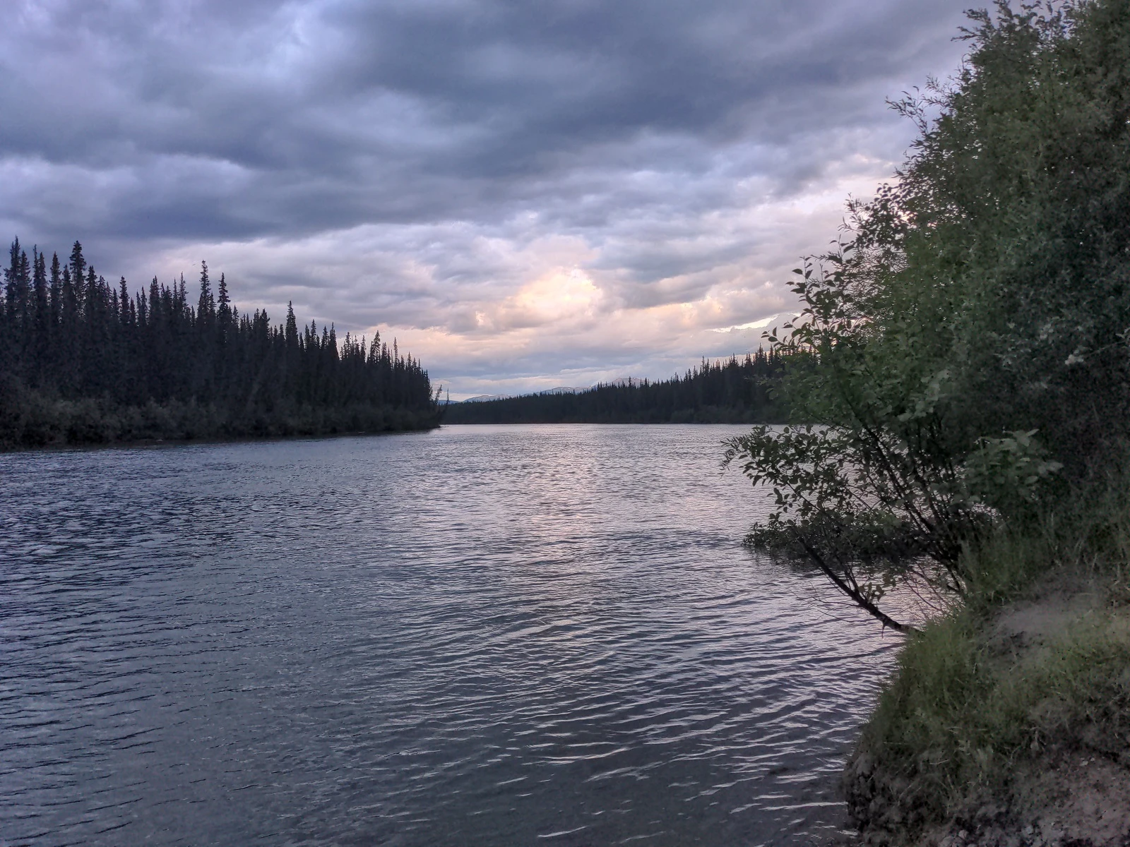
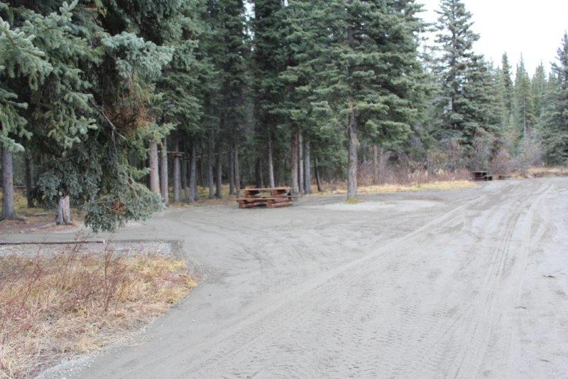
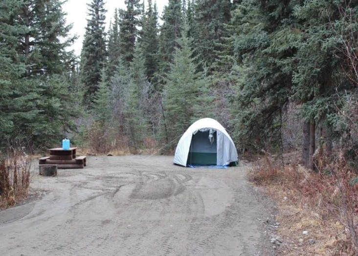
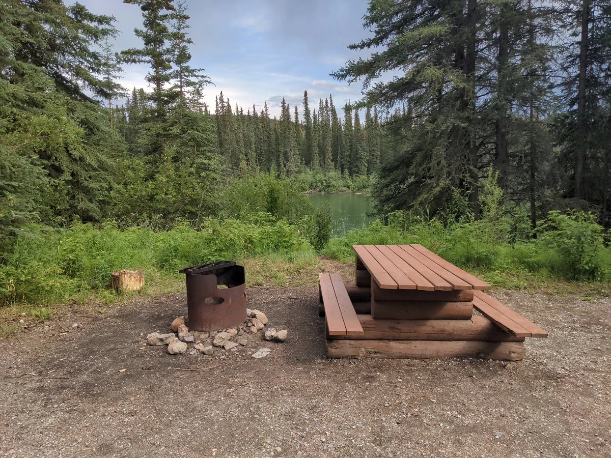
Source ↗This 5 unit Site is situated at the confluence of the French Creek and Dease River. Next to the Cassiar Hwy.(37), this semi-open area is a popular stop for fishing, day-use and camping. Good fishing can be found at the confluence of French Creek and Dease River.
FishingPit toiletLake
Where it is
59.5984, -129.2186Loading map…
Rec Site
Weather forecast
next 14 daysThu23°8°12%
Fri17°10°39%
Sat16°7°74%
Sun15°7°63%
Mon17°7°47%
Tue19°4°39%
Wed21°7°65%
Thu15°9°47%
Fri24°6°46%
Sat19°11°59%
Sun14°9°43%
Mon21°8°34%
Tue22°7°35%
Wed26°9°31%
Fire & air quality
Nearest fire 17 km · 55 ha
Fire ban in effect · Northwest
Air quality · Good (AQI 31)
Clear skies, no smoke advisory
Drive from Kelowna, BC
drive (one-way)
1828 km
drive time
25h 9m
round-trip
$724
438.8 L
Routed on real roads. Fuel at your current gas price.
Around this site
Fuel 34 km· Dease River First Nation Store & FuelTown 34 km· Good Hope LakeLake 10 km· Edward Johnny LakeHot spring 496 km· Hlgu Isquit Hot SpringsTrailhead 233 km· Ruby Mountain Trailhead
Photos
Your visit notes (0)
Find similar by activity →abettercamper.com